2000s (21st Century) Maps of Loop, Chicago
Explore 20 historic maps of Loop from the 2000s (21st Century). These maps offer a rare glimpse into what life looked like during the 2000s — showing old roads, neighborhoods, homes, and landmarks that have changed or disappeared over time.
Whether you're researching your family's past, planning a metal detecting trip, or studying how Loop's landscape evolved across the 2000s, these high-resolution maps are a powerful tool for exploring the history of this region.
- Focus on a specific era: All maps on this page are from the 2000s, giving you a focused view of this time period.
- See what’s changed: Compare century-old streets, trails, and buildings to today's modern landscape using overlays and satellite layers.
- Research with precision: Use these maps for genealogy, historical research, land use analysis, or educational projects.
- View, download, or print: Maps are fully viewable online in high resolution, and can be downloaded or printed for your own records.
Start exploring Loop's history through authentic maps from the 2000s. This is your window into the past.
Loop, Chicago maps
(20)- 2012 Map of Chicago Loop OE E, 2012 Print
 2012 Chicago Loop OE E2012 Print · USGSCovers Loop, including Chicago, Cook County, and other nearby areas
 - 2012 Map of Englewood, 2012 Print
 2012 Englewood2012 Print · USGSCovers Loop, including Chicago, Cicero, and other nearby areas
 - 2012 Map of Chicago Loop, 2012 Print
 2012 Chicago Loop2012 Print · USGSCovers Loop, including Chicago, Lincolnwood, and other nearby areas
 - 2012 Map of Jackson Park, 2012 Print
 2012 Jackson Park2012 Print · USGSCovers Loop, including Chicago, Lake Township, and other nearby areas
 - 2015 Map of Chicago Loop, 2015 Print
 2015 Chicago Loop2015 Print · USGSCovers Loop, including Chicago, Lincolnwood, and other nearby areas
 - 2015 Map of Chicago Loop OE E, 2015 Print
 2015 Chicago Loop OE E2015 Print · USGSCovers Loop, including Chicago, Cook County, and other nearby areas
 - 2015 Map of Jackson Park, 2015 Print
 2015 Jackson Park2015 Print · USGSCovers Loop, including Chicago, Lake Township, and other nearby areas
 - 2015 Map of Englewood, 2015 Print
 2015 Englewood2015 Print · USGSCovers Loop, including Chicago, Cicero, and other nearby areas
 - 2018 Map of Englewood, 2018 Print
 2018 Englewood2018 Print · USGSCovers Loop, including Chicago, Cicero, and other nearby areas
 - 2018 Map of Chicago Loop, 2018 Print
 2018 Chicago Loop2018 Print · USGSCovers Loop, including Chicago, Lincolnwood, and other nearby areas
 - 2018 Map of Jackson Park, 2018 Print
 2018 Jackson Park2018 Print · USGSCovers Loop, including Chicago, Lake Township, and other nearby areas
 - 2018 Map of Chicago Loop OE E, 2018 Print
 2018 Chicago Loop OE E2018 Print · USGSCovers Loop, including Chicago, Cook County, and other nearby areas
 - 2021 Map of Chicago Loop OE E, 2021 Print
 2021 Chicago Loop OE E2021 Print · USGSCovers Loop, including Chicago, Cook County, and other nearby areas
 - 2021 Map of Englewood, 2021 Print
 2021 Englewood2021 Print · USGSCovers Loop, including Chicago, Cicero, and other nearby areas
 - 2021 Map of Jackson Park, 2021 Print
 2021 Jackson Park2021 Print · USGSCovers Loop, including Chicago, Lake Township, and other nearby areas
 - 2021 Map of Chicago Loop, 2021 Print
 2021 Chicago Loop2021 Print · USGSCovers Loop, including Chicago, Lincolnwood, and other nearby areas
 - 2024 Map of Chicago Loop OE E, 2024 Print
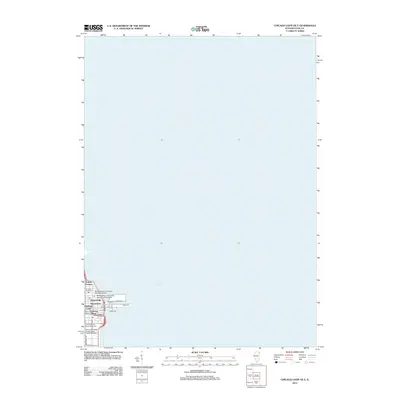
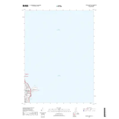
 2024 Chicago Loop OE E2024 Print · USGSChicago's waterfront and the near-north street grid are detailed in this modern survey of the lakefront. Researchers can trace the layout of the Northwestern University Chicago Campus and landmarks like Ogden Slip and Oak Street Beach.
 - 2024 Map of Jackson Park, 2024 Print
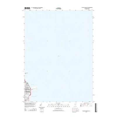
 2024 Jackson Park2024 Print · USGSChicago's southern lakefront and academic heart are captured here in the early twenty-first century, showcasing the city's dense urban and recreational geography. Genealogists and historians can trace the grounds of Oak Woods Cem and Confederate Mound or locate landmarks like the University of Chicago and Northerly Island.
 - 2024 Map of Chicago Loop, 2024 Print
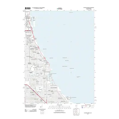
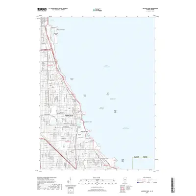
 2024 Chicago Loop2024 Print · USGSChicago's North Side and the famous Loop are seen in this contemporary topographical survey, where the lakefront beaches meet the city's industrial river heart. Researchers can pinpoint historic burial grounds like Rosehill Cem and academic hubs like DePaul University.
 - 2024 Map of Englewood, 2024 Print
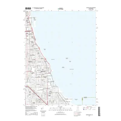
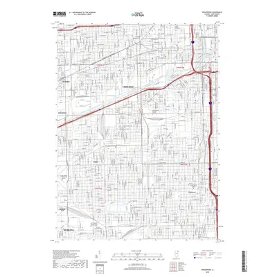
 2024 Englewood2024 Print · USGSChicago's southwest side and neighboring suburbs are shown here in the 2020s, highlighting the dense rail and industrial history of the area. Genealogists and urban historians can trace neighborhoods like Englewood and Elsdon or the grounds of Chicago Midway International Airport.
End of results
Showing maps 1-20 of 20
Frequently asked questions
- What are the different types of historical maps available for Loop?
- What is the oldest map of Loop?
- Where can I purchase historical maps of Loop for my home or office?
- Where can I download high-res historical maps of Loop?
- Are there historical topographic maps available for Loop?
- Is there historical aerial imagery available for Loop?
- Where are historical maps of Loop sourced from?