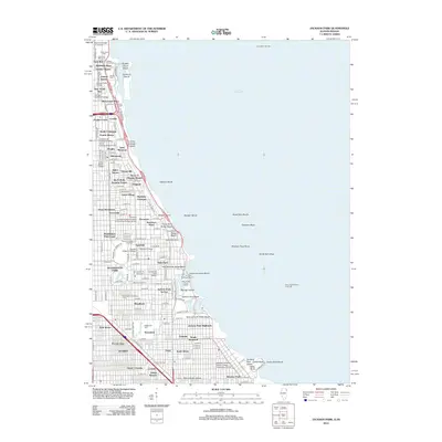
2012 Map of Jackson Park
USGS Topo · Published 2012About this map
Lake Michigan dominates the eastern boundary of this Chicago shoreline, where urban density meets expansive public works and institutional campuses. Large-scale public housing initiatives like the Ida B Wells Housing Project and Victor A Olander Homes stand alongside historic neighborhoods such as Hyde Park and Kenwood. The map reveals a high concentration of educational institutions, ranging from the sprawling University of Chicago to specialized centers like the Illinois College of Optometry and Spertus College of Judaica.
Find a feature on this map
91 named features on this map. Tap any name to fly to it.
Don’t see what you’re looking for? This feature index may not catch every label — zoom into the map to look around manually.
Map Details
Editions of this 2012 Jackson Park Map
This is the sole edition of this map. No revisions or reprints were ever made.
Other maps of this area

1889 · Chicago
USGS Topo · 1:62,500

1891 · Chicago
USGS Topo · 1:62,500

1892 · Calumet
USGS Topo · 1:62,500

1893 · Calumet
USGS Topo · 1:62,500

1900 · Chicago
USGS Topo · 1:62,500

1900 · Toleston
USGS Topo · 1:62,500

1900 · Calumet
USGS Topo · 1:62,500

1901 · Calumet
USGS Topo · 1:62,500

1901 · Chicago
USGS Topo · 1:62,500

1929 · Calumet Lake
USGS Topo · 1:24,000