2000s (21st Century) Maps of Rogers Park Township, Chicago
Explore 10 historic maps of Rogers Park Township from the 2000s (21st Century). These maps offer a rare glimpse into what life looked like during the 2000s — showing old roads, neighborhoods, homes, and landmarks that have changed or disappeared over time.
Whether you're researching your family's past, planning a metal detecting trip, or studying how Rogers Park Township's landscape evolved across the 2000s, these high-resolution maps are a powerful tool for exploring the history of this region.
- Focus on a specific era: All maps on this page are from the 2000s, giving you a focused view of this time period.
- See what’s changed: Compare century-old streets, trails, and buildings to today's modern landscape using overlays and satellite layers.
- Research with precision: Use these maps for genealogy, historical research, land use analysis, or educational projects.
- View, download, or print: Maps are fully viewable online in high resolution, and can be downloaded or printed for your own records.
Start exploring Rogers Park Township's history through authentic maps from the 2000s. This is your window into the past.
Rogers Park Township, Chicago maps
(10)- 2012 Map of Evanston, 2012 Print
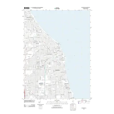 2012 Evanston2012 Print · USGSCovers Rogers Park Township, including Chicago, Evanston, and other nearby areas
 - 2012 Map of Chicago Loop, 2012 Print
 2012 Chicago Loop2012 Print · USGSCovers Rogers Park Township, including Chicago, Lincolnwood, and other nearby areas
 - 2015 Map of Chicago Loop, 2015 Print
 2015 Chicago Loop2015 Print · USGSCovers Rogers Park Township, including Chicago, Lincolnwood, and other nearby areas
 - 2015 Map of Evanston, 2015 Print
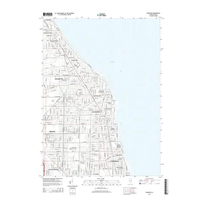 2015 Evanston2015 Print · USGSCovers Rogers Park Township, including Chicago, Evanston, and other nearby areas
 - 2018 Map of Evanston, 2018 Print
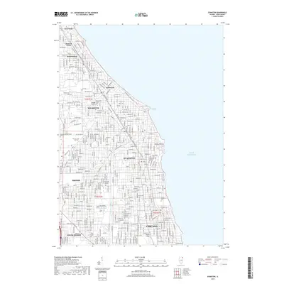 2018 Evanston2018 Print · USGSCovers Rogers Park Township, including Chicago, Evanston, and other nearby areas
 - 2018 Map of Chicago Loop, 2018 Print
 2018 Chicago Loop2018 Print · USGSCovers Rogers Park Township, including Chicago, Lincolnwood, and other nearby areas
 - 2021 Map of Evanston, 2021 Print
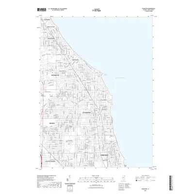 2021 Evanston2021 Print · USGSCovers Rogers Park Township, including Chicago, Evanston, and other nearby areas
 - 2021 Map of Chicago Loop, 2021 Print
 2021 Chicago Loop2021 Print · USGSCovers Rogers Park Township, including Chicago, Lincolnwood, and other nearby areas
 - 2024 Map of Evanston, 2024 Print
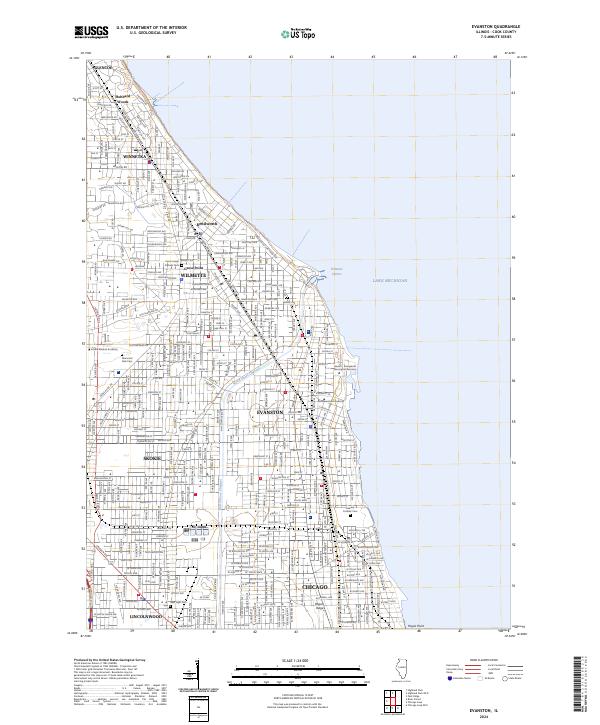 2024 Evanston2024 Print · USGSThe Cook County lakefront thrives in the twenty-first century as a corridor of historic suburbs and academic centers. Genealogists and historians can trace local landmarks from Hubbard Woods down to Calvary Catholic Cem and the Northwestern University campus.
 - 2024 Map of Chicago Loop, 2024 Print
 2024 Chicago Loop2024 Print · USGSChicago's North Side and the famous Loop are seen in this contemporary topographical survey, where the lakefront beaches meet the city's industrial river heart. Researchers can pinpoint historic burial grounds like Rosehill Cem and academic hubs like DePaul University.
End of results
Showing maps 1-10 of 10
Top cities near Rogers Park Township
- Chicago historical maps
- Cicero historical maps
- Evanston historical maps
- Skokie historical maps
- Des Plaines historical maps
- Berwyn historical maps
See more
Top neighborhoods of Rogers Park Township
- Rogers Park historical maps
- Little India historical maps
- Jarvis Square historical maps
- Glenwood Arts District historical maps
Frequently asked questions
- What are the different types of historical maps available for Rogers Park Township?
- What is the oldest map of Rogers Park Township?
- Where can I purchase historical maps of Rogers Park Township for my home or office?
- Where can I download high-res historical maps of Rogers Park Township?
- Are there historical topographic maps available for Rogers Park Township?
- Is there historical aerial imagery available for Rogers Park Township?
- Where are historical maps of Rogers Park Township sourced from?