Old Maps of Timber Ridge, Rich Township for Genealogy
Trace your family roots with 13 historic maps of Timber Ridge. These high-res maps reveal old neighborhoods, homesites, landmarks, and streets — helping you uncover where your ancestors lived and how the area evolved over time.
- Explore historic neighborhoods: Identify where your relatives may have lived in the 1800s or 1900s.
- Compare maps over time: Trace the changes in streets, buildings, and landmarks for multi-generational research.
- Perfect for genealogy & ancestry research: Used by family historians and researchers to map out lineage and migration.
These maps are an incredible resource for exploring your personal connection to Timber Ridge's past.
Timber Ridge, Rich Township maps
(13)- 1930 Map of Frankfort
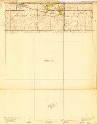 1930 Frankfort1930 Print · USGSThe village of Frankfort sits at the junction of the Elgin, Joliet, and Eastern and the historic Sauk Trail in the late twenties. Trace local history at the Washington Royal School, Rahm School, and Pleasant Hill Cem.2 unique versions available
 - 1949 Map of Peotone
 1949 Peotone1949 Print · USGSWill County’s rural townships are captured in the late 1940s, a period of transition for its railroad hubs and farming communities. Genealogists can locate family-named landmarks and country schools like Fivemile Grove Sch, Pfundstein Sch, and the St Peter Cem.2 unique versions available
 - 1953 Map of Frankfort, 1955 Print
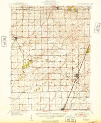
 1953 Frankfort1955 Print · USGSWill and Cook County farm country is captured here in the early fifties, before suburban expansion transformed the outskirts of Chicago. Researchers can trace rural lineages through numerous local sites including St Peters Cem, Rahm Sch (Abandoned), and the Green Garden Sch.4 unique versions available
 - 1953 Map of Chicago, 1964 Print
 1953 Chicago1964 Print · USGSThe southern Lake Michigan shoreline was rapidly modernizing in the mid-fifties, balancing heavy industry with its famous academic centers. Researchers can trace the footprints of Notre Dame University or locate vanished sites like the Kingsbury Ordnance Plant and Meigs Field.5 unique versions available
 - 1957 Map of Chicago
 1957 Chicago1957 Print · USGSThe industrial heartland and southern Great Lakes shoreline are captured here during the peak of mid-century growth. Researchers can trace the massive Gary Steel Works, the grounds of the University of Notre Dame, and the early paths of the Tri-State Tollway.
 - 1984 Map of Kankakee, 1985 Print
 1984 Kankakee1985 Print · USGSThe Illinois-Indiana borderlands appear here in the early eighties as a landscape of river-centered towns and vast managed wetlands. Genealogists and local historians can trace the grounds of the Kankakee State Hospital, the campus of Olivet Nazarene College, and the sprawling Beaver Lake Wildlife Refuge.
 - 1990 Map of Frankfort, 1991 Print
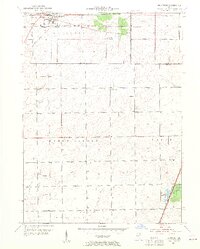
 1990 Frankfort1991 Print · USGSWill County's transition from prairie farmland to suburban community is captured here as the nineties approached. Genealogists and local historians can trace family plots at St Peters Cem and Union Cem, or follow the path of the Old Indian Boundary.
 - 1991 Map of Kankakee
 1991 Kankakee1991 Print · USGSThe Illinois-Indiana borderlands come into focus during the early nineties, centered on the growing Kankakee valley and its sprawling drainage systems. Trace the rail-and-river economy through landmarks like the Wilton Railroad Grade, the Manteno State Hospital, and the historic Old Pioneer Cem.
 - 2012 Map of Frankfort, 2012 Print
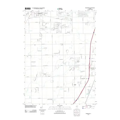 2012 Frankfort2012 Print · USGSCovers Timber Ridge, including Frankfort, Matteson, and other nearby areas
 - 2015 Map of Frankfort, 2015 Print
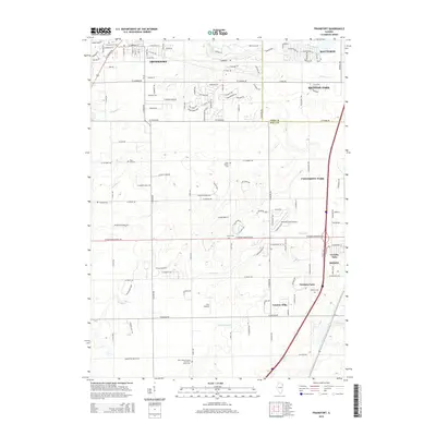 2015 Frankfort2015 Print · USGSCovers Timber Ridge, including Frankfort, Matteson, and other nearby areas
 - 2018 Map of Frankfort, 2018 Print
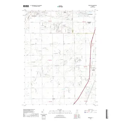 2018 Frankfort2018 Print · USGSCovers Timber Ridge, including Frankfort, Matteson, and other nearby areas
 - 2021 Map of Frankfort, 2021 Print
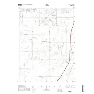 2021 Frankfort2021 Print · USGSCovers Timber Ridge, including Frankfort, Matteson, and other nearby areas
 - 2024 Map of Frankfort, 2024 Print
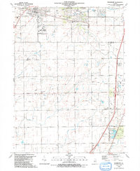
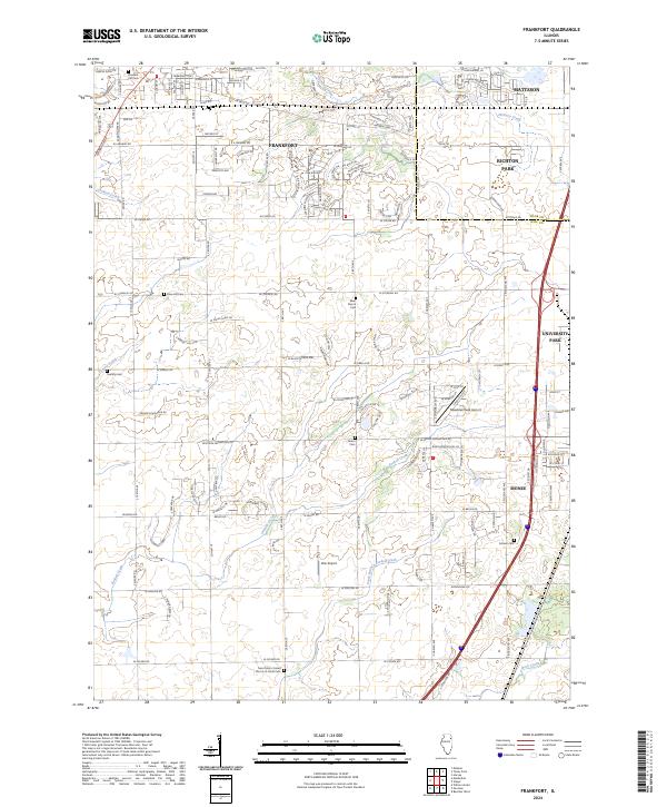 2024 Frankfort2024 Print · USGSThe Will County prairie south of Chicago is captured here as suburban growth meets traditional rural township lines. Researchers can trace family history through sites like Saint Peter's Cem or locate local landmarks like Wix Airport and Meadow Creek Airport.
End of results
Showing maps 1-13 of 13
Top cities near Timber Ridge
- Chicago historical maps
- Joliet historical maps
- Oak Lawn historical maps
- Orland Park historical maps
- Tinley Park historical maps
- Calumet City historical maps
See more
Frequently asked questions
- What are the different types of historical maps available for Timber Ridge?
- What is the oldest map of Timber Ridge?
- Where can I purchase historical maps of Timber Ridge for my home or office?
- Where can I download high-res historical maps of Timber Ridge?
- Are there historical topographic maps available for Timber Ridge?
- Is there historical aerial imagery available for Timber Ridge?
- Where are historical maps of Timber Ridge sourced from?