Old Maps of South Grove Township, Illinois for Academic Research
Study the evolution of South Grove Township with 35 high-resolution historic maps. Whether you're teaching, researching, or modeling changes in land use, these maps provide essential visual documentation of urban, environmental, and geographic change.
- Analyze long-term change: Track patterns in development, transportation, and natural features.
- Ideal for environmental or urban studies: Support academic projects with primary historical map data.
- Use in the classroom or lab: Educators and researchers rely on these maps to bring historical context to life.
These maps are a powerful tool for teaching, research, and visualizing how South Grove Township has changed over the decades.
South Grove Township, IL maps
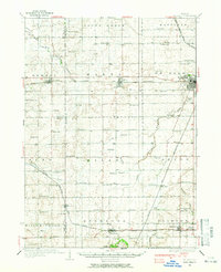
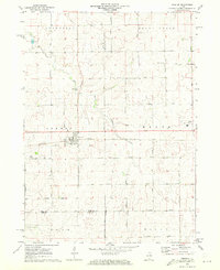
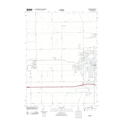
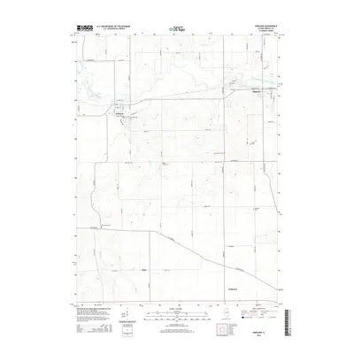
(35)- 1918 Map of Kirkland
 1918 Kirkland1918 Print · USGSNorthern Illinois prairie lands are shown here during the height of the steam rail era. You can trace early family roots through dozens of rural landmarks like Bloods Point School, Gunn School, and the junction at Kirkland.4 unique versions available
 - 1934 Map of De Kalb, 1965 Print
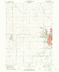
 1934 De Kalb1965 Print · USGSDeKalb and its surrounding townships thrive as a major rail and highway hub during the mid-1930s. Researchers can trace dozens of country schoolhouses like Toad Hollow Sch and find family plots at Woodlawn Cem or Fairview Cem.
 - 1937 Map of De Kalb
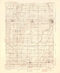 1937 De Kalb1937 Print · USGSMid-1930s De Kalb County is captured here as a thriving rail and agricultural hub during the peak of the Lincoln Highway era. Genealogists can trace family footprints across dozens of local school sites like Toad Hollow Sch and old cemeteries including Woodlawn Cem and Calvary Cem.2 unique versions available
 - 1954 Map of Rockford
 1954 Rockford1954 Print · USGSThe Rock River valley and the Illinois-Wisconsin borderlands are captured here in the mid-1950s during a period of robust industrial and agricultural activity. Genealogists and historians can trace rail-era corridors like the Illinois Central RR and locate landmarks from Big Foot Prairie to Lake Geneva.
 - 1955 Map of Rockford
 1955 Rockford1955 Print · USGSThe Rock River valley and southern Wisconsin dairy country are shown here in the mid-fifties as the region's manufacturing centers grew. Genealogists and historians can trace the paths of the Chicago and North Western RR and Illinois Central RR through hubs like Rockford and Beloit.
 - 1958 Map of Aurora, 1969 Print
 1958 Aurora1969 Print · USGSNorthern Illinois in the late fifties shows a landscape of powerful river industry and expanding transport corridors. Genealogists and historians can trace the development of Aurora and Joliet or locate sites like the Elwood Ordnance Plant and Starved Rock.3 unique versions available
 - 1958 Map of Rockford, 1974 Print
 1958 Rockford1974 Print · USGSNorthern Illinois and southern Wisconsin are shown here in the mid-twentieth century as rail-dependent industrial towns began to interface with growing lakefront communities. Genealogists can trace family roots through settlements like Saylesville and Tess Corners or locate historical landmarks like the Rockford Ordnance Depot.4 unique versions available
 - 1961 Map of Aurora
 1961 Aurora1961 Print · USGSNorthern Illinois at the height of the post-war era reveals a landscape of massive industrial works and thriving river towns. Genealogists and historians can trace the paths of the Lincoln Highway or locate long-standing landmarks like the Green River Ordnance Plant and Starved Rock State Park.
 - 1963 Map of Rockford
 1963 Rockford1963 Print · USGSThe mid-century industrial corridor along the Rock River is shown here during a period of rapid post-war growth. Researchers can trace the extensive rail lines of the Chicago and North Western or locate local landmarks like the Rockford Ordnance Depot and Holy Hill.
 - 1968 Map of Kirkland, 1970 Print
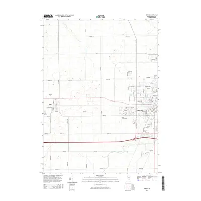
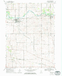 1968 Kirkland1970 Print · USGSDeKalb County farmland is captured here in the late sixties, showing the active rail hubs of Kirkland and Kingston along the Kishwaukee River. Researchers can trace old family footprints at Maple Cem, locate the Mayfield Ch, or follow the Old RR Grade.
 - 1968 Map of Fairdale, 1970 Print
 1968 Fairdale1970 Print · USGSDeKalb and Ogle Counties are captured in the late sixties as an active agricultural and transport corridor. Local researchers can trace family names and landmarks like Hicks Mills Cem, the small settlement of Fairdale, and the path of the Chicago and North Western railroad.2 unique versions available
 - 1971 Map of Creston, 1973 Print
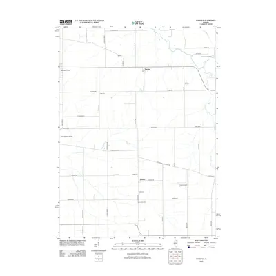
 1971 Creston1973 Print · USGSCreston and its neighboring townships are captured in the early seventies during a period of established agricultural growth and institutional expansion. Trace local family history and property lines near Woodlawn Cem, Kishwaukee College, or along the Chicago and North Western rail line.2 unique versions available
 - 1971 Map of De Kalb, 1973 Print
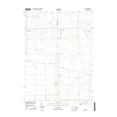
 1971 De Kalb1973 Print · USGSDe Kalb and the surrounding Illinois prairie are captured here during a period of mid-century academic and civic growth. Researchers can trace the development of Northern Illinois University or locate family roots at Malta Cem and the Open Bible Ch.2 unique versions available
 - 1981 Map of Elgin
 1981 Elgin1981 Print · USGSNorthern Illinois and southern Wisconsin are shown in the early eighties as suburban growth meets glacial terrain. Trace the paths of the Milwaukee Road through Harvard or explore the wetlands of Volo Bog State Natural Area.
 - 1985 Map of Aurora, 1989 Print
 1985 Aurora1989 Print · USGSNortheastern Illinois is captured in the mid-1980s as suburban growth began to bridge the gap between the Fox River cities and the outer prairies. Researchers can trace the development of Naperville and Aurora or locate rural landmarks like Fairview Cem and the Illinois and Michigan Canal.
 - 2012 Map of Kirkland, 2012 Print
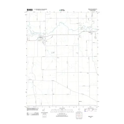 2012 Kirkland2012 Print · USGSCovers South Grove Township, including Kirkland, Kingston, and other nearby areas
 - 2012 Map of Creston, 2012 Print
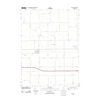 2012 Creston2012 Print · USGSCovers South Grove Township, including Rochelle, Malta, and other nearby areas
 - 2012 Map of DeKalb, 2012 Print
 2012 DeKalb2012 Print · USGSCovers South Grove Township, including DeKalb, Malta, and other nearby areas
 - 2012 Map of Fairdale, 2012 Print
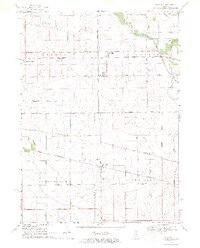
 2012 Fairdale2012 Print · USGSCovers South Grove Township, including Kirkland, Monroe Center, and other nearby areas
 - 2015 Map of DeKalb, 2015 Print
 2015 DeKalb2015 Print · USGSCovers South Grove Township, including DeKalb, Malta, and other nearby areas
 - 2015 Map of Fairdale, 2015 Print
 2015 Fairdale2015 Print · USGSCovers South Grove Township, including Kirkland, Monroe Center, and other nearby areas
 - 2015 Map of Kirkland, 2015 Print
 2015 Kirkland2015 Print · USGSCovers South Grove Township, including Kirkland, Kingston, and other nearby areas
 - 2015 Map of Creston, 2015 Print
 2015 Creston2015 Print · USGSCovers South Grove Township, including Rochelle, Malta, and other nearby areas
 - 2018 Map of Fairdale, 2018 Print
 2018 Fairdale2018 Print · USGSCovers South Grove Township, including Kirkland, Monroe Center, and other nearby areas
 - 2018 Map of Kirkland, 2018 Print
 2018 Kirkland2018 Print · USGSCovers South Grove Township, including Kirkland, Kingston, and other nearby areas
Showing maps 1-25 of 35
Top cities near South Grove Township
- Rockford historical maps
- DeKalb historical maps
- Belvidere historical maps
- Sycamore historical maps
- Rochelle historical maps
- Genoa historical maps
See more
Top neighborhoods of South Grove Township
Frequently asked questions
- What are the different types of historical maps available for South Grove Township?
- What is the oldest map of South Grove Township?
- Where can I purchase historical maps of South Grove Township for my home or office?
- Where can I download high-res historical maps of South Grove Township?
- Are there historical topographic maps available for South Grove Township?
- Is there historical aerial imagery available for South Grove Township?
- Where are historical maps of South Grove Township sourced from?