2000s (21st Century) Maps of Wayne Township, Illinois
Explore 10 historic maps of Wayne Township from the 2000s (21st Century). These maps offer a rare glimpse into what life looked like during the 2000s — showing old roads, neighborhoods, homes, and landmarks that have changed or disappeared over time.
Whether you're researching your family's past, planning a metal detecting trip, or studying how Wayne Township's landscape evolved across the 2000s, these high-resolution maps are a powerful tool for exploring the history of this region.
- Focus on a specific era: All maps on this page are from the 2000s, giving you a focused view of this time period.
- See what’s changed: Compare century-old streets, trails, and buildings to today's modern landscape using overlays and satellite layers.
- Research with precision: Use these maps for genealogy, historical research, land use analysis, or educational projects.
- View, download, or print: Maps are fully viewable online in high resolution, and can be downloaded or printed for your own records.
Start exploring Wayne Township's history through authentic maps from the 2000s. This is your window into the past.
Wayne Township, IL maps
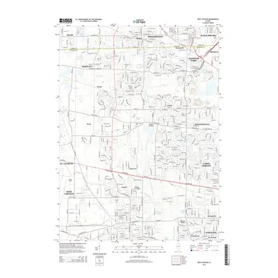
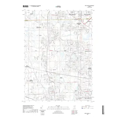
(10)- 2012 Map of West Chicago, 2012 Print
 2012 West Chicago2012 Print · USGSCovers Wayne Township, including Elgin, Schaumburg, and other nearby areas
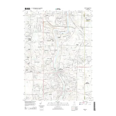
 - 2012 Map of Geneva, 2012 Print
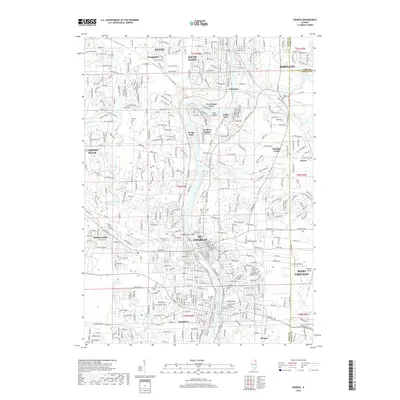
 2012 Geneva2012 Print · USGSCovers Wayne Township, including Elgin, Wayne, and other nearby areas
 - 2015 Map of West Chicago, 2015 Print
 2015 West Chicago2015 Print · USGSCovers Wayne Township, including Elgin, Schaumburg, and other nearby areas
 - 2015 Map of Geneva, 2015 Print
 2015 Geneva2015 Print · USGSCovers Wayne Township, including Elgin, Wayne, and other nearby areas
 - 2018 Map of West Chicago, 2018 Print
 2018 West Chicago2018 Print · USGSCovers Wayne Township, including Elgin, Schaumburg, and other nearby areas
 - 2018 Map of Geneva, 2018 Print
 2018 Geneva2018 Print · USGSCovers Wayne Township, including Elgin, Wayne, and other nearby areas
 - 2021 Map of West Chicago, 2021 Print
 2021 West Chicago2021 Print · USGSCovers Wayne Township, including Elgin, Schaumburg, and other nearby areas
 - 2021 Map of Geneva, 2021 Print
 2021 Geneva2021 Print · USGSCovers Wayne Township, including Elgin, Wayne, and other nearby areas
 - 2024 Map of West Chicago, 2024 Print
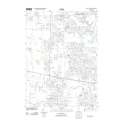
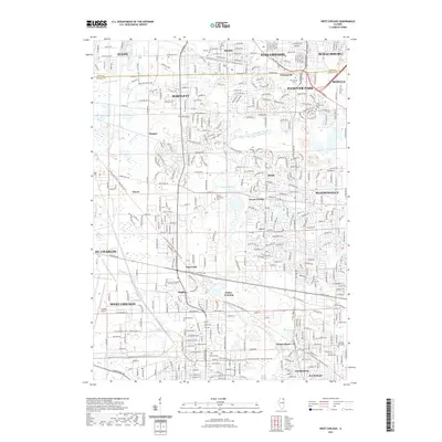
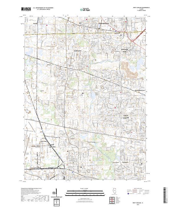 2024 West Chicago2024 Print · USGSThe DuPage County suburbs are shown in their modern configuration, tracing the growth of Bartlett and West Chicago. Researchers can locate several historic burial grounds like Ontarioville Cem and trace old rail junctions near Ingalton and Munger.
 - 2024 Map of Geneva, 2024 Print
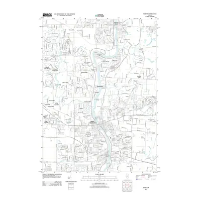
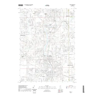
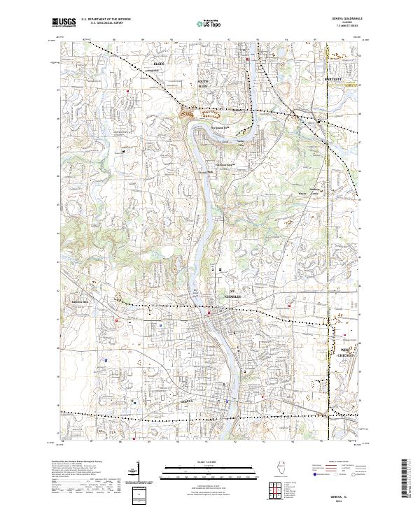 2024 Geneva2024 Print · USGSThe Fox River Valley in the twenty-first century reveals a dense network of suburban growth anchored by the historic riverfronts of Geneva and St. Charles. Researchers can trace local heritage through sites like Dunham Castle, the Kane County Courthouse, and numerous grounds including Oak Hill Cem.
End of results
Showing maps 1-10 of 10
Top cities near Wayne Township
- Aurora historical maps
- Naperville historical maps
- Elgin historical maps
- Schaumburg historical maps
- Arlington Heights historical maps
- Bolingbrook historical maps
See more
Top neighborhoods of Wayne Township
- Ingalton historical maps
- Lakewood historical maps
- Munger historical maps
- Prince Crossing historical maps
Frequently asked questions
- What are the different types of historical maps available for Wayne Township?
- What is the oldest map of Wayne Township?
- Where can I purchase historical maps of Wayne Township for my home or office?
- Where can I download high-res historical maps of Wayne Township?
- Are there historical topographic maps available for Wayne Township?
- Is there historical aerial imagery available for Wayne Township?
- Where are historical maps of Wayne Township sourced from?