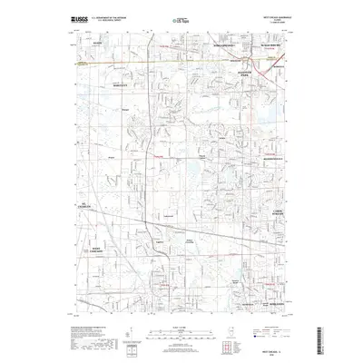
2018 Map of West Chicago
USGS Topo · Published 2018About this map
West Chicago and its surrounding townships show a landscape fully integrated into the Chicago metropolitan suburban fabric while maintaining distinct historical nodes. The W Br Du Page River meanders through the central terrain, passing near the Wayne Township Cem and the small settlement of Wayne Center. This 2018 survey reveals the persistent identity of older communities like Ontarioville, where both the Ontarioville Cem and Old Ontarioville Cem remain as physical markers of the area's early 19th-century settlement.
Find a feature on this map
82 named features on this map. Tap any name to fly to it.
Don’t see what you’re looking for? This feature index may not catch every label — zoom into the map to look around manually.
Map Details
Editions of this 2018 West Chicago Map
This is the sole edition of this map. No revisions or reprints were ever made.
Other maps of this area

1908 · Wheaton
USGS Topo · 1:62,500

1923 · Barrington
USGS Topo · 1:62,500

1925 · Elgin
USGS Topo · 1:62,500

1932 · Geneva
USGS Topo · 1:62,500

1935 · Barrington
USGS Topo · 1:62,500

1940 · Elgin
USGS Topo · 1:62,500

1948 · Wheaton
USGS Topo · 1:62,500

1948 · Geneva
USGS Topo · 1:62,500

1949 · Geneva
USGS Topo · 1:24,000

1950 · Aurora North
USGS Topo · 1:24,000