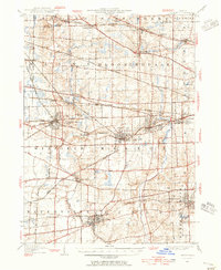
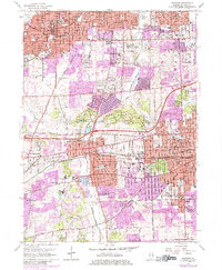
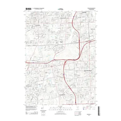
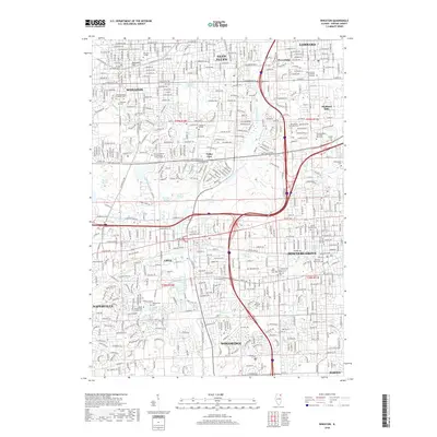
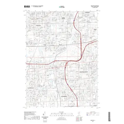
1948 Map of Wheaton
USGS Topo · Published 1956About this map
The West Branch Du Page River and East Branch Du Page River define the north-south drainage of this DuPage County landscape, carving through a region transitioning into a dense suburban corridor in the late 1940s. Centered on the county seat of Wheaton, the map reveals a complex web of transportation, where heavy rail lines like the Chicago Burlington and Quincy and the Chicago and Northwestern intersect with the interurban Chicago Aurora and Elgin Electric line. While towns such as Naperville, Downers Grove, and Lombard show significant residential platting, the northwestern sections near Wayne and Bartlett retain a more open, rural character. Small landmarks like St Johns Church and the whistle-stops of Gretna and Cloverdale provide specific points of interest for those tracing the localized growth of the Chicago metropolitan periphery during the post-war era.
Find a feature on this map
57 named features on this map. Tap any name to fly to it.
Don’t see what you’re looking for? This feature index may not catch every label — zoom into the map to look around manually.
Map Details
Editions of this 1948 Wheaton Map
This is the sole edition of this map. No revisions or reprints were ever made.
Historical Maps of Aurora Through Time
12 maps found
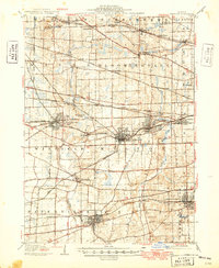
1908 Wheaton
DuPage County, IL
1948 Wheaton
DuPage County, IL
1954 Wheaton
DuPage County, IL
1954 Wheaton
DuPage County, IL
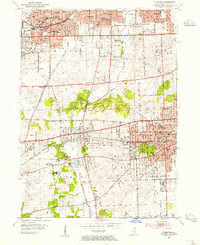
1962 Wheaton
DuPage County, IL
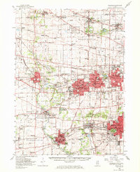
1993 Wheaton
DuPage County, IL
1998 Wheaton
DuPage County, IL
2012 Wheaton
DuPage County, IL
2015 Wheaton
DuPage County, IL
2018 Wheaton
DuPage County, IL
2021 Wheaton
DuPage County, IL
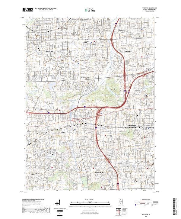
2024 Wheaton
DuPage County, IL