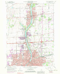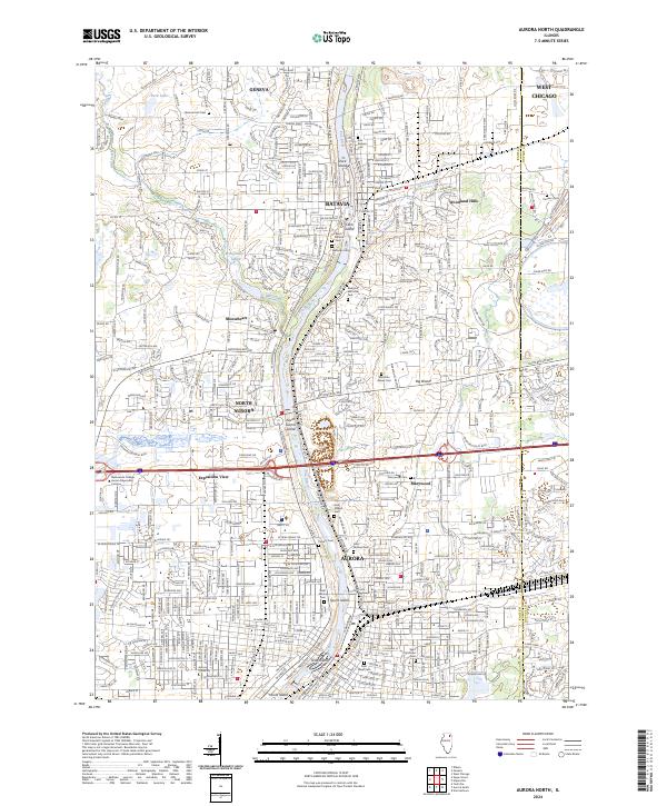
1950 Map of Aurora North
USGS Topo · Published 1950About this map
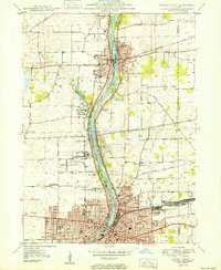
The Fox River valley serves as the central artery for this 1950 portrait of the thriving Kane County corridor. Industrial and institutional growth define the landscape between Batavia and Aurora, where the Chicago Burlington and Quincy railroad lines parallel the water. Significant land tracts are dedicated to social and medical institutions of the era, including the expansive grounds of Mooseheart, the Bellevue Sanitarium, and Mercyville. Educational facilities are densely plotted, ranging from local rural schools like Buelter Sch to the campus of Aurora College in the southern portion of the quadrangle. Recreation and public spaces are prominent along the river's edge, including Exposition Park and the Fox Valley Country Club, reflecting a mid-century community prioritizing accessible leisure and civic infrastructure.
Find a feature on this map
55 named features on this map. Tap any name to fly to it.
Don’t see what you’re looking for? This feature index may not catch every label — zoom into the map to look around manually.
Map Details
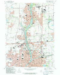
Editions of this 1950 Aurora North Map
This is the sole edition of this map. No revisions or reprints were ever made.
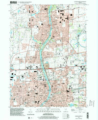
Historical Maps of Aurora Through Time
9 maps found