Old Maps of Effingham County, Illinois for Academic Research
Study the evolution of Effingham County with 114 high-resolution historic maps. Whether you're teaching, researching, or modeling changes in land use, these maps provide essential visual documentation of urban, environmental, and geographic change.
- Analyze long-term change: Track patterns in development, transportation, and natural features.
- Ideal for environmental or urban studies: Support academic projects with primary historical map data.
- Use in the classroom or lab: Educators and researchers rely on these maps to bring historical context to life.
These maps are a powerful tool for teaching, research, and visualizing how Effingham County has changed over the decades.
Effingham County, IL maps
(114)- 1941 Map of St. Elmo, 1958 Print
 1941 St. Elmo1958 Print · USGSThe Illinois counties of Fayette, Shelby, and Effingham are mapped here in the early 1940s at the height of their rail-and-refinery era. Genealogists and historians can trace numerous country schools like Martin Box Sch and churches like Crums Chapel near the Carter Refinery.2 unique versions available
 - 1945 Map of St. Elmo
 1945 St. Elmo1945 Print · USGSFayette and Effingham counties are seen here in the 1940s at a peak of rail and river industry. Genealogists and historians can trace family locations near Saint Elmo, locate the Carter Refinery, or find rural landmarks like Crums Chapel and Meyers Cem.2 unique versions available
 - 1945 Map of Kinmundy, 1965 Print
 1945 Kinmundy1965 Print · USGSThe rural borderlands of Fayette and Marion Counties are shown at the end of the war, when small farming communities still thrived around rail junctions. You can trace family roots at St Johns Ch or locate forgotten sites like Old Loogootee Sch and Gray Cem.2 unique versions available
 - 1947 Map of Kinmundy
 1947 Kinmundy1947 Print · USGSMarion and Fayette counties are captured here just after the war, showing a rural landscape anchored by a dense network of farm-to-market railroads. Genealogists can trace family footprints through numerous small schools and cemeteries, from Farina and St Peter to Shanghai Sch and Cumberland Cem.2 unique versions available
 - 1950 Map of Effingham, 1958 Print
 1950 Effingham1958 Print · USGSEffingham and the surrounding townships are shown at a mid-century peak of rail activity and rural development. Genealogists can trace family roots through numerous sites like Wolf Creek Cemetery, St Marys Church, and the settlement at Shumway.4 unique versions available
 - 1951 Map of Effingham
 1951 Effingham1951 Print · USGSIn the decade after the war, central Illinois thrived as a rail and agricultural crossroads. Genealogists and historians can locate dozens of country landmarks like Ewington Cem, St Pauls Ch, and the many schools of Summit and Liberty townships.2 unique versions available
 - 1953 Map of Teutopolis, 1955 Print
 1953 Teutopolis1955 Print · USGSMid-century Effingham County and its neighbors are documented here during a period of agricultural stability and rail-line prominence. Genealogists can locate family landmarks including Elliottstown, Lillyville, and rural schools like Plain Tree Sch.2 unique versions available
 - 1953 Map of Sailor Springs, 1955 Print
 1953 Sailor Springs1955 Print · USGSSoutheast Illinois farmland at the start of the fifties reveals a landscape of tight-knit rural precincts and family homesteads. Genealogists can trace family names through dozens of landmarks like Shouse Chapel, Bethsaida Cem, and the Little Grove Sch.2 unique versions available
 - 1956 Map of Edgewood, 1957 Print
 1956 Edgewood1957 Print · USGSRailroad junctions and rising oil fields define this mid-century look at the Clay and Effingham county lines. Genealogists can trace family names at St Ann Cem, Keen Chapel, and the settlement of La Clede along the ILLINOIS CENTRAL tracks.2 unique versions available
 - 1958 Map of Decatur, 1971 Print
 1958 Decatur1971 Print · USGSCentral Illinois in the mid-twentieth century shows a landscape defined by industrial rail hubs and the creation of large reservoirs. Researchers can trace historic corridors like the Penn Central or locate landmarks such as Lincoln Log Cabin State Park and Lake Springfield.3 unique versions available
 - 1958 Map of Belleville, 1973 Print
 1958 Belleville1973 Print · USGSSouthern Illinois during the mid-twentieth century reveals a landscape of industrial growth and massive new reservoirs. Genealogists and historians can trace the paths of the Illinois Central RR through towns like Centralia or locate landmarks such as Emerald Mound and the Looking Glass Prairie.3 unique versions available
 - 1961 Map of Decatur
 1961 Decatur1961 Print · USGSCentral Illinois in the late fifties was a bustling corridor of rail lines and prairie commerce centered on the state capital. Genealogists and historians can trace the intricate connections between Springfield, Decatur, and dozens of smaller settlements like Nokomis and Arcola.2 unique versions available
 - 1962 Map of Belleville
 1962 Belleville1962 Print · USGSSouthern Illinois in the late fifties reveals a landscape of industrial growth and ancient landmarks before the full expansion of the interstate system. Genealogists can trace family names and rural post offices near Centralia, Salem, and the historic Monks Mound.
 - 1982 Map of Altamont West
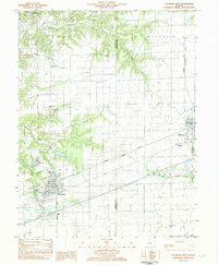 1982 Altamont West1982 Print · USGSFayette County at the start of the 1980s shows a landscape where industrial rail lines and rural tradition meet. Genealogists can locate several remote burial sites and schools, including Maplewood Cem, Rhodes Cem, and the Bethlehem Sch.
 - 1983 Map of Beecher City
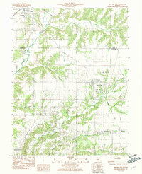 1983 Beecher City1983 Print · USGSBeecher City and the surrounding prairie were hubs of rail and resource extraction in the early 1980s. Genealogists can locate family burial sites like Tipsword Cem and Hubbard Cem, or trace the tracks of the Baltimore and Ohio through Moccasin.
 - 1985 Map of Latona
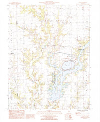 1985 Latona1985 Print · USGSJasper County in the 1980s shows a unique mix of heavy energy infrastructure and dedicated wildlife conservation. Researchers can trace the development of Newton Lake near the Power Plant and locate rural hubs like Latona and Winterrowd.
 - 1985 Map of Woodbury
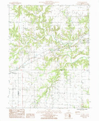 1985 Woodbury1985 Print · USGSCumberland County at the mid-eighties shows a landscape defined by the Illinois Central Gulf railroad and small rural hubs. Local researchers can trace the old town sites of Woodbury and Roslyn or locate secluded cemeteries near the Jasper County line.
 - 1985 Map of Hord
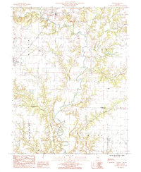 1985 Hord1985 Print · USGSEffingham and Clay counties in the mid-1980s reveal a landscape dominated by the winding Little Wabash River. Researchers can trace old family sites and rural settlements from Mason to Hord, or locate landmarks like Sublett Cem and Hill.
 - 1985 Map of Dieterich
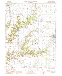 1985 Dieterich1985 Print · USGSThe village of Dieterich and its surrounding townships are shown in the mid-1980s as a landscape of rural crossroads and creek valleys. Genealogists and local historians can trace the foundations of Elliottstown, locate several cemeteries, and map the paths of Salt Creek and Brush Creek.
 - 1985 Map of Effingham North
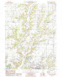 1985 Effingham North1985 Print · USGSEffingham was expanding northward into the rural Illinois prairie during the mid-1980s. Local researchers can trace the development of Lake Sara, locate an active Oil Field, and find landmarks like the Drive-In Theater near the river.
 - 1985 Map of Wheeler
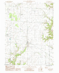 1985 Wheeler1985 Print · USGSSoutheastern Illinois farmland and the Jasper County countryside are documented in this mid-eighties survey. Researchers can locate the small settlements of Wheeler and Lis, along with rural landmarks like Island Grove and the winding Big Muddy Creek.
 - 1985 Map of Eberle
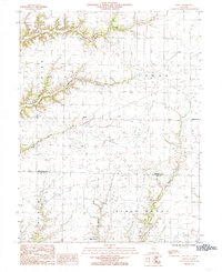 1985 Eberle1985 Print · USGSSouthern Effingham and northern Clay counties appear here in the mid-1980s as the local oil industry and small crossroads settlements remained central to the landscape. Researchers can trace rural cemeteries and energy infrastructure near Eberle, Bible Grove, and the southern Oil Field.
 - 1985 Map of Loogootee
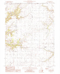 1985 Loogootee1985 Print · USGSLoogootee and St James are centered in this mid-1980s survey of the Fayette and Effingham county line during a period of steady agricultural and energy growth. Researchers can trace rural landmarks and watercourses like Little Hickory Creek, Dismal Creek, and a local Radio Tower.
 - 1985 Map of Shumway
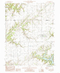 1985 Shumway1985 Print · USGSCentral Illinois farm country is captured here in the mid-1980s, centered on the village of Shumway. Researchers can trace old family Cem sites and township boundaries across Holland Prairie or locate landmarks like Lake Sara and the Public Boat Landing.
 - 1985 Map of Teutopolis
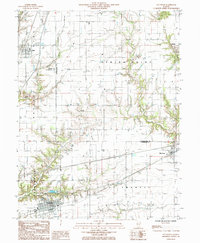 1985 Teutopolis1985 Print · USGSEffingham and Cumberland Counties in the mid-1980s show a transition from traditional rail-side villages to modern highway corridors. Trace the development of Teutopolis and Montrose or find smaller sites like St Michael Ch and the Conrail line.
Showing maps 1-25 of 114
Top cities of Effingham County
- Effingham historical maps
- Altamont historical maps
- Teutopolis historical maps
- Dieterich historical maps
- Watson historical maps
- Edgewood historical maps
See more
Frequently asked questions
- What are the different types of historical maps available for Effingham County?
- What is the oldest map of Effingham County?
- Where can I purchase historical maps of Effingham County for my home or office?
- Where can I download high-res historical maps of Effingham County?
- Are there historical topographic maps available for Effingham County?
- Is there historical aerial imagery available for Effingham County?
- Where are historical maps of Effingham County sourced from?