Old Maps of St. Elmo, Illinois for Academic Research
Study the evolution of St. Elmo with 12 high-resolution historic maps. Whether you're teaching, researching, or modeling changes in land use, these maps provide essential visual documentation of urban, environmental, and geographic change.
- Analyze long-term change: Track patterns in development, transportation, and natural features.
- Ideal for environmental or urban studies: Support academic projects with primary historical map data.
- Use in the classroom or lab: Educators and researchers rely on these maps to bring historical context to life.
These maps are a powerful tool for teaching, research, and visualizing how St. Elmo has changed over the decades.
St. Elmo, IL maps
(12)- 1941 Map of St. Elmo, 1958 Print
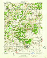 1941 St. Elmo1958 Print · USGSThe Illinois counties of Fayette, Shelby, and Effingham are mapped here in the early 1940s at the height of their rail-and-refinery era. Genealogists and historians can trace numerous country schools like Martin Box Sch and churches like Crums Chapel near the Carter Refinery.2 unique versions available
 - 1945 Map of St. Elmo
 1945 St. Elmo1945 Print · USGSFayette and Effingham counties are seen here in the 1940s at a peak of rail and river industry. Genealogists and historians can trace family locations near Saint Elmo, locate the Carter Refinery, or find rural landmarks like Crums Chapel and Meyers Cem.2 unique versions available
 - 1958 Map of Decatur, 1971 Print
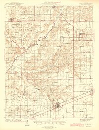
 1958 Decatur1971 Print · USGSCentral Illinois in the mid-twentieth century shows a landscape defined by industrial rail hubs and the creation of large reservoirs. Researchers can trace historic corridors like the Penn Central or locate landmarks such as Lincoln Log Cabin State Park and Lake Springfield.3 unique versions available
 - 1961 Map of Decatur
 1961 Decatur1961 Print · USGSCentral Illinois in the late fifties was a bustling corridor of rail lines and prairie commerce centered on the state capital. Genealogists and historians can trace the intricate connections between Springfield, Decatur, and dozens of smaller settlements like Nokomis and Arcola.2 unique versions available
 - 1982 Map of Altamont West
 1982 Altamont West1982 Print · USGSFayette County at the start of the 1980s shows a landscape where industrial rail lines and rural tradition meet. Genealogists can locate several remote burial sites and schools, including Maplewood Cem, Rhodes Cem, and the Bethlehem Sch.
 - 1986 Map of Effingham
 1986 Effingham1986 Print · USGSCentral Illinois during the mid-eighties was a hub of rail travel and water recreation centered on the new reservoirs. Genealogists and historians can trace the rural landscape between Mattoon and Effingham, locating landmarks like St Paul Ch and Eagle Creek State Park.2 unique versions available
 - 1998 Map of Altamont West, 2003 Print
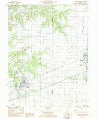
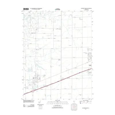
 1998 Altamont West2003 Print · USGSFayette County at the end of the millennium shows a landscape defined by the oil industry and deep-rooted rural communities. Researchers can trace family history at St Pauls Cem, locate St Bonaventure Ch, or study the extent of the Loudon Field.
 - 2012 Map of Altamont West, 2012 Print
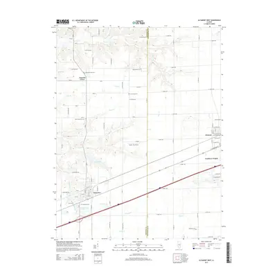
 2012 Altamont West2012 Print · USGSCovers St. Elmo, including Altamont, Saint Elmo, and other nearby areas
 - 2015 Map of Altamont West, 2015 Print
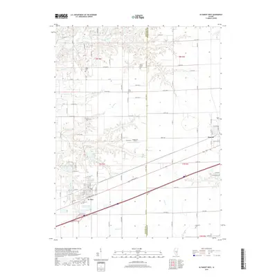
 2015 Altamont West2015 Print · USGSCovers St. Elmo, including Altamont, Saint Elmo, and other nearby areas
 - 2018 Map of Altamont West, 2018 Print
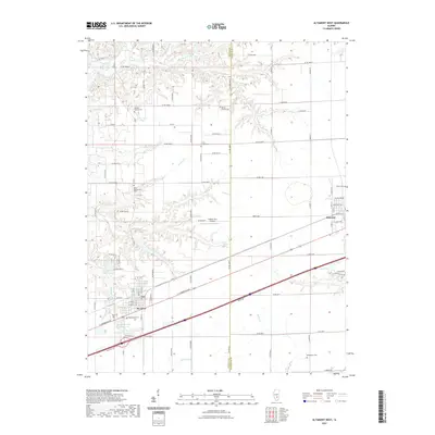
 2018 Altamont West2018 Print · USGSCovers St. Elmo, including Altamont, Saint Elmo, and other nearby areas
 - 2021 Map of Altamont West, 2021 Print
 2021 Altamont West2021 Print · USGSCovers St. Elmo, including Altamont, Saint Elmo, and other nearby areas
 - 2024 Map of Altamont West, 2024 Print
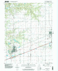
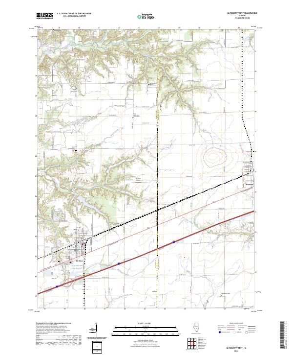 2024 Altamont West2024 Print · USGSThe borderlands of Fayette and Effingham counties are mapped here during the twenty-first century, centered on the growing community of St. Elmo. Researchers can locate several rural burial grounds like Mount Moriah Cem and Crums Chapel Cem near the banks of Watson Creek.
End of results
Showing maps 1-12 of 12
Top cities near St. Elmo
- Altamont historical maps
- Avena historical maps
- Saint Elmo historical maps
- La Clede historical maps
- Brownstown historical maps
- Sefton historical maps
See more
Top neighborhoods of St. Elmo
Frequently asked questions
- What are the different types of historical maps available for St. Elmo?
- What is the oldest map of St. Elmo?
- Where can I purchase historical maps of St. Elmo for my home or office?
- Where can I download high-res historical maps of St. Elmo?
- Are there historical topographic maps available for St. Elmo?
- Is there historical aerial imagery available for St. Elmo?
- Where are historical maps of St. Elmo sourced from?