Old Maps of Piper City, Illinois for Genealogy
Trace your family roots with 21 historic maps of Piper City. These high-res maps reveal old neighborhoods, homesites, landmarks, and streets — helping you uncover where your ancestors lived and how the area evolved over time.
- Explore historic neighborhoods: Identify where your relatives may have lived in the 1800s or 1900s.
- Compare maps over time: Trace the changes in streets, buildings, and landmarks for multi-generational research.
- Perfect for genealogy & ancestry research: Used by family historians and researchers to map out lineage and migration.
These maps are an incredible resource for exploring your personal connection to Piper City's past.
Piper City, IL maps
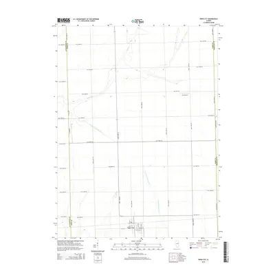
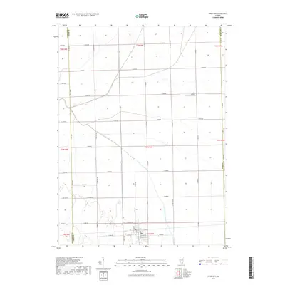
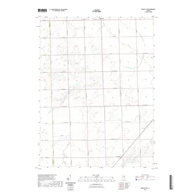
(21)- 1944 Map of Piper City
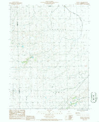
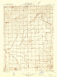 1944 Piper City1944 Print · USGSEast-central Illinois was a landscape of thriving rural school districts and critical rail junctions during the 1940s. Genealogists can locate dozens of family-named landmarks and schools such as Graham Sch and Taylor Sch alongside the Illinois Central tracks.2 unique versions available
 - 1947 Map of Piper City
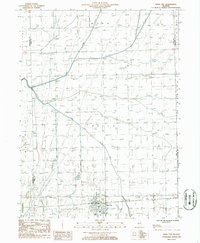
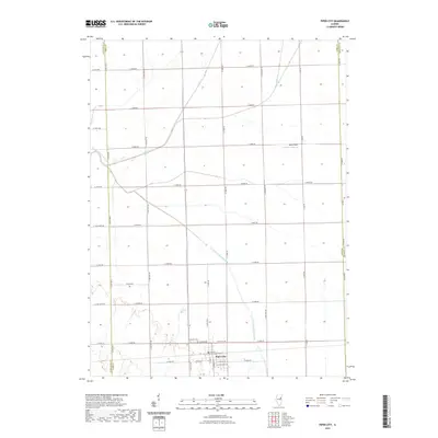
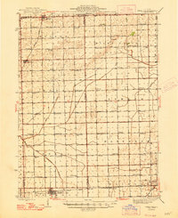 1947 Piper City1947 Print · USGSFord County and the surrounding prairie are captured here in the mid-1940s, showing a landscape defined by rail transport and township schools. Genealogists can locate family landmarks like Milks Grove Ch, the Town Hall, and dozens of named country schools.
 - 1948 Map of Buckley
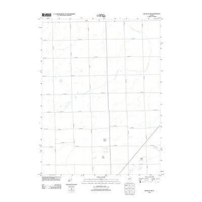
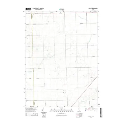
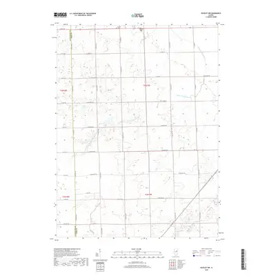
 1948 Buckley1948 Print · USGSThe Illinois prairie of the late 1940s reveals a rural landscape still revolving around the village schoolhouse and the Illinois Central rail line. Trace family roots and vanished landmarks across Piper City, Thawville, and dozens of rural schools like Shute Sch or Zahn Sch.
 - 1949 Map of Buckley
 1949 Buckley1949 Print · USGSEast-central Illinois farm country thrived alongside the Illinois Central railroad just after the war, when small towns and family farms defined the prairie. Researchers can locate dozens of country schoolhouses like Willow Grove Sch and Larkin Sch, or trace the path of the North Fork Vermilion River near Thawville.2 unique versions available
 - 1958 Map of Peoria, 1969 Print
 1958 Peoria1969 Print · USGSCentral Illinois thrived as a hub of education and transport during the late sixties, as the new interstate system began to reshape the prairie. Genealogists and historians can trace local landmarks like Springdale Cem, Bradley University, and the sprawling grounds of Chanute AFB.4 unique versions available
 - 1961 Map of Peoria
 1961 Peoria1961 Print · USGSCentral Illinois thrived at the intersection of river trade and rail power during the late fifties. Genealogists and local historians can trace the rail networks of the Illinois Central and Wabash, alongside landmarks like Chanute AFB and Weldon Springs State Park.
 - 1963 Map of Peoria
 1963 Peoria1963 Print · USGSCentral Illinois thrived as a rail and highway crossroads during the early sixties, centered on the bustling Illinois River valley. Genealogists and historians can trace the mid-century layout of Peoria, locate the grounds of Chanute Air Force Base, and follow historic lines like the Toledo Peoria and Western Railway.
 - 1985 Map of Fairbury
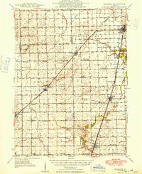
 1985 Fairbury1985 Print · USGSCentral Illinois in the mid-1980s reveals a landscape shaped by the Illinois Central Gulf rail network and the Vermilion River basin. Trace the roots of local communities from Fairbury to Pontiac, and locate landmarks like the State Correctional Center and High Chapel.2 unique versions available
 - 1986 Map of Buckley NW
 1986 Buckley NW1986 Print · USGSFord and Livingston Counties appear in the mid-1980s as a landscape of productive prairie and organized civil townships. Researchers can trace rural infrastructure from Garrells Landing Strip to the managed waters of Wall Town Ditch.
 - 1986 Map of Piper City
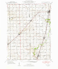
 1986 Piper City1986 Print · USGSThe Illinois prairie around Ford and Livingston counties is captured here in the mid-1980s. Genealogists can trace family roots through Piper City or locate the Cem and local aviation sites like the Bradbury Landing Strip.
 - 1990 Map of Peoria
 1990 Peoria1990 Print · USGSCentral Illinois at the start of the nineties reveals a landscape of industrial river towns and sprawling university campuses. Researchers can trace the legacy of major institutions like Chanute Air Force Base and the University of Illinois alongside regional landmarks such as Sand Ridge State Forest.
 - 2012 Map of Buckley NW, 2012 Print
 2012 Buckley NW2012 Print · USGSCovers Piper City, including Livingston County, Ford County, and other nearby areas
 - 2012 Map of Piper City, 2012 Print
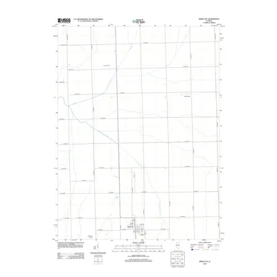 2012 Piper City2012 Print · USGSCovers Piper City, including Livingston County, Iroquois County, and other nearby areas
 - 2015 Map of Piper City, 2015 Print
 2015 Piper City2015 Print · USGSCovers Piper City, including Livingston County, Iroquois County, and other nearby areas
 - 2015 Map of Buckley NW, 2015 Print
 2015 Buckley NW2015 Print · USGSCovers Piper City, including Livingston County, Ford County, and other nearby areas
 - 2018 Map of Buckley NW, 2018 Print
 2018 Buckley NW2018 Print · USGSCovers Piper City, including Livingston County, Ford County, and other nearby areas
 - 2018 Map of Piper City, 2018 Print
 2018 Piper City2018 Print · USGSCovers Piper City, including Livingston County, Iroquois County, and other nearby areas
 - 2021 Map of Buckley NW, 2021 Print
 2021 Buckley NW2021 Print · USGSCovers Piper City, including Livingston County, Ford County, and other nearby areas
 - 2021 Map of Piper City, 2021 Print
 2021 Piper City2021 Print · USGSCovers Piper City, including Livingston County, Iroquois County, and other nearby areas
 - 2024 Map of Piper City, 2024 Print
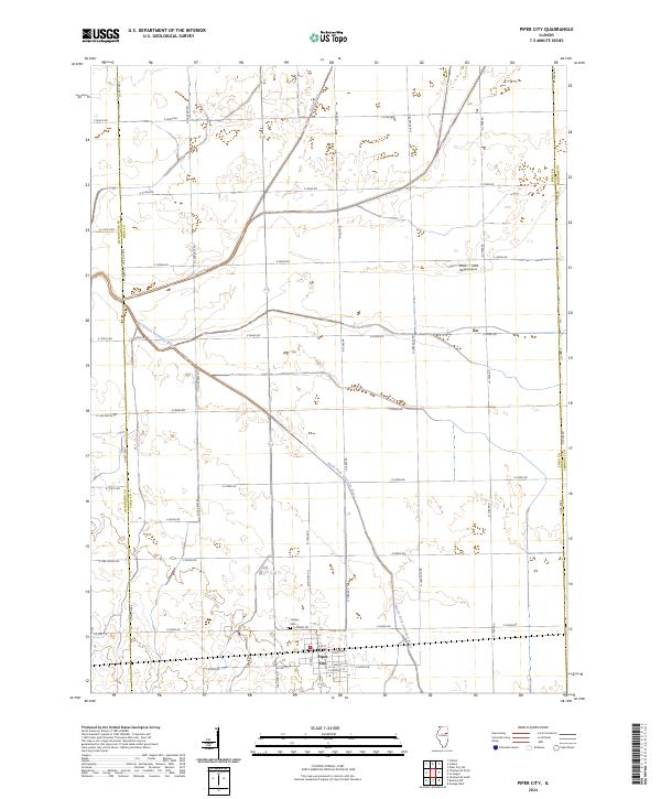 2024 Piper City2024 Print · USGSPiper City and the surrounding prairie are captured here in the twenty-first century, showcasing the intersection of traditional agriculture and modern infrastructure. Genealogists and researchers can locate Calvary Cem or trace family land near Kelly Creek and the North Fork Vermilion River.
 - 2024 Map of Buckley NW, 2024 Print
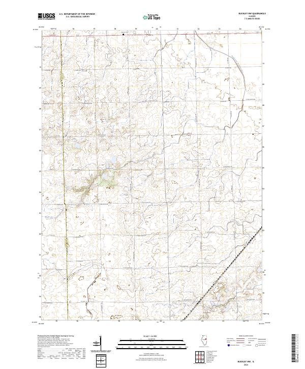 2024 Buckley NW2024 Print · USGSThe Illinois prairie at the Ford and Livingston county line is documented here in its modern agricultural form. Genealogists and local historians can locate Brenton Cem and trace the winding course of the North Fork Vermilion River.
End of results
Showing maps 1-21 of 21
Top cities near Piper City
- Gilman historical maps
- Onarga historical maps
- Chatsworth historical maps
- Forrest historical maps
- Ashkum historical maps
- Buckley historical maps
See more
Frequently asked questions
- What are the different types of historical maps available for Piper City?
- What is the oldest map of Piper City?
- Where can I purchase historical maps of Piper City for my home or office?
- Where can I download high-res historical maps of Piper City?
- Are there historical topographic maps available for Piper City?
- Is there historical aerial imagery available for Piper City?
- Where are historical maps of Piper City sourced from?