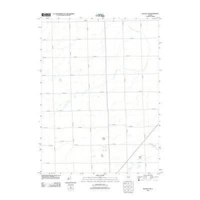
2012 Map of Buckley NW
USGS Topo · Published 2012About this map
The N Fork Vermilion River meanders across this rural Illinois landscape, defining the local drainage and topography in Ford County. The land is strictly organized by a dense grid of township roads such as E 2300N Rd and N 1400 E Rd, reflecting the enduring dominance of commercial agriculture in the region. Local heritage is rooted at the Brewton Cem in the northern reaches of the quadrangle. While the terrain remains largely agricultural, a unique concentration of small-scale aviation facilities emerges in the southern section, including the John H Garrelts Airport, Otto Junior Airport, and Roberts RLA Airport. These private and regional landing strips, alongside small water bodies like Laue Lake, illustrate how modern transit and recreation have integrated into the traditional midwestern farm grid.
Find a feature on this map
35 named features on this map. Tap any name to fly to it.
Don’t see what you’re looking for? This feature index may not catch every label — zoom into the map to look around manually.
Map Details
Editions of this 2012 Buckley NW Map
This is the sole edition of this map. No revisions or reprints were ever made.
Other maps of this area

1944 · Piper City
USGS Topo · 1:48,000

1947 · Piper City
USGS Topo · 1:62,500

1947 · Sibley
USGS Topo · 1:62,500

1947 · Cullom
USGS Topo · 1:62,500

1948 · Buckley
USGS Topo · 1:62,500

1949 · Buckley
USGS Topo · 1:62,500

1949 · Cullom
USGS Topo · 1:62,500

1949 · Sibley
USGS Topo · 1:62,500

1958 · Peoria
USGS Topo · 1:250,000

1961 · Peoria
USGS Topo · 1:250,000