Old Maps of West Frankfort, Illinois for Genealogy
Trace your family roots with 23 historic maps of West Frankfort. These high-res maps reveal old neighborhoods, homesites, landmarks, and streets — helping you uncover where your ancestors lived and how the area evolved over time.
- Explore historic neighborhoods: Identify where your relatives may have lived in the 1800s or 1900s.
- Compare maps over time: Trace the changes in streets, buildings, and landmarks for multi-generational research.
- Perfect for genealogy & ancestry research: Used by family historians and researchers to map out lineage and migration.
These maps are an incredible resource for exploring your personal connection to West Frankfort's past.
West Frankfort, IL maps
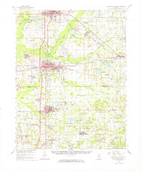
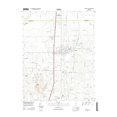
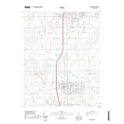
(23)- 1909 Map of West Frankfort
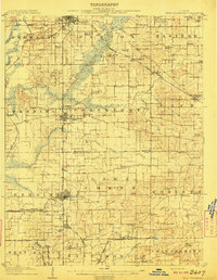 1909 West Frankfort1909 Print · USGSSouthern Illinois at the peak of the coal and rail boom is captured here across Franklin and Williamson counties. Genealogists can locate family landmarks like Coon Ridge School, Mormon Church, and small settlements such as Smothersville or Deering City.2 unique versions available
 - 1941 Map of West Frankfort, 1959 Print
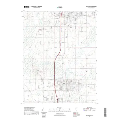
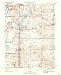 1941 West Frankfort1959 Print · USGSSouthern Illinois coal country is shown here just before the mid-century, where a dense rail network connects thriving mining towns. Genealogists can trace family roots through numerous country landmarks like Coon Ridge School, Williams Prairie Church, and Brush Prairie School.
 - 1949 Map of Paducah
 1949 Paducah1949 Print · USGSThe confluence of the Ohio, Mississippi, Tennessee, and Cumberland rivers at the close of the 1940s reveals a region bound by water and rail. Researchers can trace historic river landings, timberlands in the Shawnee National Forest, and the coal-mining infrastructure around West Frankfort and Herrin.2 unique versions available
 - 1950 Map of Paducah
 1950 Paducah1950 Print · USGSThe confluence of the great midwestern rivers defines this mid-century landscape at the intersection of Illinois, Kentucky, and Missouri. Genealogists and historians can trace the rail-and-river economy through the hubs of Paducah, Cairo, and Metropolis or locate family roots near the Wildcat Hills.
 - 1954 Map of Paducah
 1954 Paducah1954 Print · USGSSouthern Illinois and Western Kentucky intersect at the great river confluences during this mid-century era of rail and river industry. Genealogists and historians can trace family roots and commerce through river towns like Cairo, Metropolis, and Golconda, or along the tracks of the Illinois Central Railroad.2 unique versions available
 - 1961 Map of Paducah
 1961 Paducah1961 Print · USGSThe Lower Ohio Valley at mid-century is a landscape defined by its great rivers and newly formed reservoirs. Researchers can trace the riverfronts of Paducah and Metropolis, or locate smaller settlements like Old Shawneetown and Cave in Rock along the banks.2 unique versions available
 - 1963 Map of West Frankfort, 1964 Print
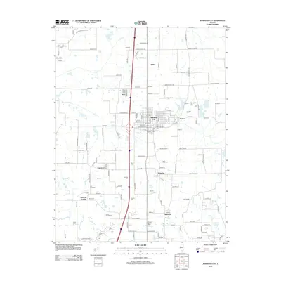
 1963 West Frankfort1964 Print · USGSThe Southern Illinois coal belt comes to life in the early sixties as industrial rail lines crisscross the Franklin County landscape. Trace local family history at St Joseph Cem or explore vanished coal-town patterns at Pershing and Deering City.2 unique versions available
 - 1963 Map of Johnston City, 1964 Print
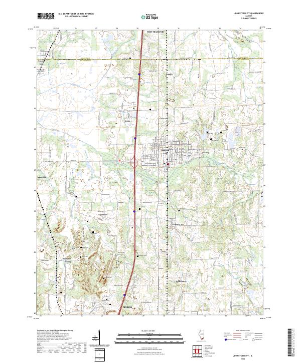
 1963 Johnston City1964 Print · USGSSouthern Illinois coal country is in full operation during the early 1960s, showing a landscape shaped by rail and extraction. Researchers can trace the heritage of Johnston City and smaller hamlets like Dog Walk or locate family plots at Moake Cem and Fergus Cem.2 unique versions available
 - 1963 Map of West Frankfort, 1966 Print
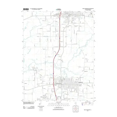
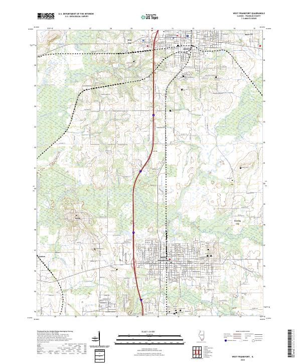
 1963 West Frankfort1966 Print · USGSSouthern Illinois coal country is caught at a mid-century peak in this survey of Franklin and Williamson counties. Researchers can trace vanished rail spurs, family-named plots like Rea Cem, and mining sites from the Orient No 5 Mine to White Ash.
 - 1964 Map of Paducah
 1964 Paducah1964 Print · USGSThe river-and-rail corridor of Southern Illinois and Western Kentucky is captured here during the height of the mid-century industrial era. Genealogists and researchers can trace local landmarks across several counties, from the rail yards of Paducah to the waters of Crab Orchard Lake and Kentucky Reservoir.2 unique versions available
 - 1984 Map of West Frankfort, 1985 Print
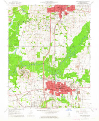
 1984 West Frankfort1985 Print · USGSSouthern Illinois at the peak of late-century coal and oil production reveals a complex landscape of industry and conservation. Genealogists and historians can trace rail-served mining hubs like Orient No. 3 Mine and the historic riverfront at Old Shawneetown.
 - 1987 Map of West Frankfort
 1987 West Frankfort1987 Print · USGSSouthern Illinois in the late eighties shows a landscape defined by the coal and river economies. Researchers can trace the extensive Strip Mine works and historic settlements like Shawneetown and Carriers Mills along the Illinois Central Railroad.
 - 1987 Map of Paducah, 1988 Print
 1987 Paducah1988 Print · USGSThe Lower Ohio Valley and the Illinois Ozarks come alive in this late twentieth-century regional survey. Genealogists and local historians can trace river-town roots and state park landmarks from Metropolis to Cape Girardeau and Trail of Tears State Park.
 - 2012 Map of Johnston City, 2012 Print
 2012 Johnston City2012 Print · USGSCovers West Frankfort, including Marion, Herrin, and other nearby areas
 - 2012 Map of West Frankfort, 2012 Print
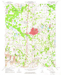
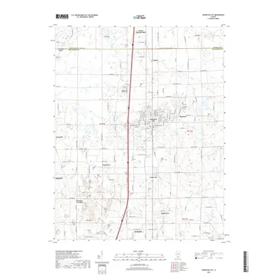
 2012 West Frankfort2012 Print · USGSCovers West Frankfort, including Benton, West City, and other nearby areas
 - 2015 Map of West Frankfort, 2015 Print
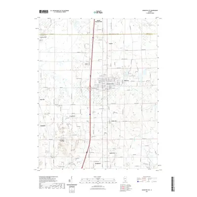
 2015 West Frankfort2015 Print · USGSCovers West Frankfort, including Benton, West City, and other nearby areas
 - 2015 Map of Johnston City, 2015 Print
 2015 Johnston City2015 Print · USGSCovers West Frankfort, including Marion, Herrin, and other nearby areas
 - 2018 Map of West Frankfort, 2018 Print
 2018 West Frankfort2018 Print · USGSCovers West Frankfort, including Benton, West City, and other nearby areas
 - 2018 Map of Johnston City, 2018 Print
 2018 Johnston City2018 Print · USGSCovers West Frankfort, including Marion, Herrin, and other nearby areas
 - 2021 Map of Johnston City, 2021 Print
 2021 Johnston City2021 Print · USGSCovers West Frankfort, including Marion, Herrin, and other nearby areas
 - 2021 Map of West Frankfort, 2021 Print
 2021 West Frankfort2021 Print · USGSCovers West Frankfort, including Benton, West City, and other nearby areas
 - 2024 Map of Johnston City, 2024 Print
 2024 Johnston City2024 Print · USGSSouthern Illinois coal-country settlements and family homesteads are documented here in recent detail. You can trace genealogical roots through dozens of named burial sites like Jacob Hunter Cem and Huck Cem or explore hamlets like Fergestown and White Ash.
 - 2024 Map of West Frankfort, 2024 Print
 2024 West Frankfort2024 Print · USGSFranklin County's urban centers and rural cemeteries are captured in this modern survey of the Big Muddy River valley. Genealogists can trace family names at the County Poor Farm Cem, Lithuanian Cem, or the Masonic and Oddfellows Cem near Benton.
End of results
Showing maps 1-23 of 23
Top cities near West Frankfort
- Carbondale historical maps
- Marion historical maps
- Herrin historical maps
- Benton historical maps
- Carterville historical maps
- Johnston City historical maps
See more
Top neighborhoods of West Frankfort
Frequently asked questions
- What are the different types of historical maps available for West Frankfort?
- What is the oldest map of West Frankfort?
- Where can I purchase historical maps of West Frankfort for my home or office?
- Where can I download high-res historical maps of West Frankfort?
- Are there historical topographic maps available for West Frankfort?
- Is there historical aerial imagery available for West Frankfort?
- Where are historical maps of West Frankfort sourced from?