Old Maps of New Haven, Illinois for Hiking & Exploration
Hike through history with 25 historic maps of New Haven. Explore old trails, ghost towns, and forgotten backroads — perfect for outdoor adventurers and local explorers.
- Rediscover forgotten places: Map out old mining camps, roads, and footpaths that no longer exist on modern maps.
- Layer with modern tools: Combine with LiDAR or satellite views to plan hikes through historical terrain.
- Made for exploration: Popular among hikers, overlanders, and local history lovers.
Use these maps to find adventure and explore the hidden past of New Haven.
New Haven, IL maps
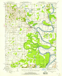
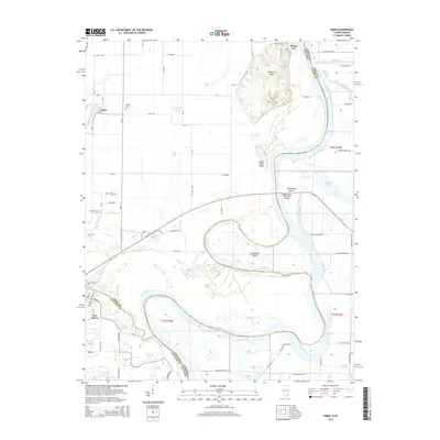
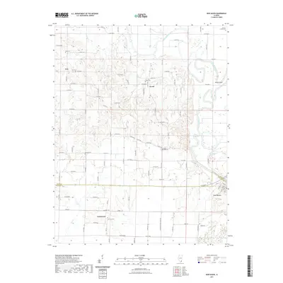
(25)- 1905 Map of New Haven, 1966 Print
 1905 New Haven1966 Print · USGSThe tri-state border region along the Wabash and Ohio Rivers is captured here during the early twentieth century. Genealogists can trace family footprints in New Haven, Ridgway, and Herald, or locate historic crossings like Mackeys Ferry and Dogtown Ferry.
 - 1906 Map of New Haven
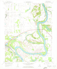
 1906 New Haven1906 Print · USGSThe Wabash River borderlands of Illinois and Indiana come to life in this early century survey of the river's winding oxbows and swampy bottoms. Genealogists can trace early homesteads near New Haven, Concord Emma P O, and the river landings at Dogtown Ferry.4 unique versions available
 - 1949 Map of Paducah
 1949 Paducah1949 Print · USGSThe confluence of the Ohio, Mississippi, Tennessee, and Cumberland rivers at the close of the 1940s reveals a region bound by water and rail. Researchers can trace historic river landings, timberlands in the Shawnee National Forest, and the coal-mining infrastructure around West Frankfort and Herrin.2 unique versions available
 - 1949 Map of New Haven, 1958 Print
 1949 New Haven1958 Print · USGSSouthern Illinois and the Indiana borderlands are captured here in the late 1940s, highlighting the intricate river-and-rail landscape at the confluence of the Wabash and Ohio. Genealogists and historians can trace old homesteads and post offices like Concord Emma PO, Ridgway, and New Haven.
 - 1950 Map of Paducah
 1950 Paducah1950 Print · USGSThe confluence of the great midwestern rivers defines this mid-century landscape at the intersection of Illinois, Kentucky, and Missouri. Genealogists and historians can trace the rail-and-river economy through the hubs of Paducah, Cairo, and Metropolis or locate family roots near the Wildcat Hills.
 - 1954 Map of Paducah
 1954 Paducah1954 Print · USGSSouthern Illinois and Western Kentucky intersect at the great river confluences during this mid-century era of rail and river industry. Genealogists and historians can trace family roots and commerce through river towns like Cairo, Metropolis, and Golconda, or along the tracks of the Illinois Central Railroad.2 unique versions available
 - 1958 Map of Emma, 1959 Print
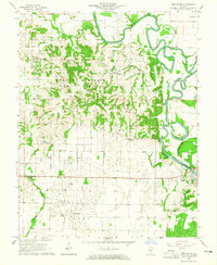
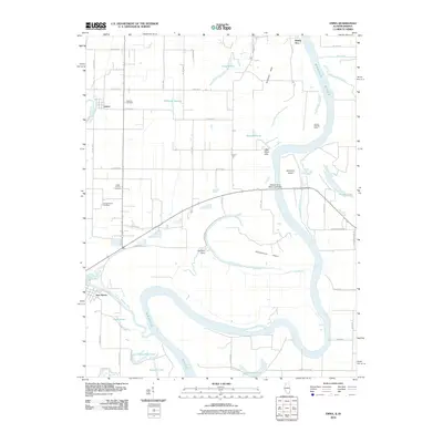
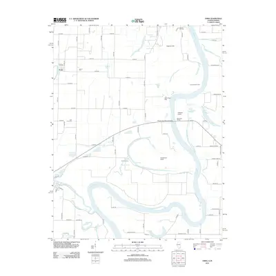
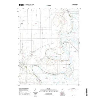
 1958 Emma1959 Print · USGSThe river border between Illinois and Indiana is captured here in the late fifties, showcasing a landscape of oxbow lakes and winding channels. Genealogists can trace family roots through sites like Emma Concord Ch, Abshire Cem, and the riverfront at Rising Sun.
 - 1961 Map of Paducah
 1961 Paducah1961 Print · USGSThe Lower Ohio Valley at mid-century is a landscape defined by its great rivers and newly formed reservoirs. Researchers can trace the riverfronts of Paducah and Metropolis, or locate smaller settlements like Old Shawneetown and Cave in Rock along the banks.2 unique versions available
 - 1964 Map of Paducah
 1964 Paducah1964 Print · USGSThe river-and-rail corridor of Southern Illinois and Western Kentucky is captured here during the height of the mid-century industrial era. Genealogists and researchers can trace local landmarks across several counties, from the rail yards of Paducah to the waters of Crab Orchard Lake and Kentucky Reservoir.2 unique versions available
 - 1964 Map of New Haven, 1965 Print
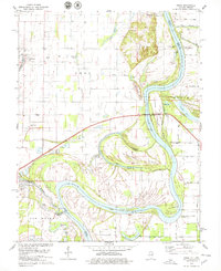
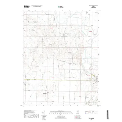
 1964 New Haven1965 Print · USGSSouthern Illinois at the height of the 1960s oil boom reveals a landscape shaped by the Little Wabash River and deep-rooted farm life. Genealogists can trace family heritage through numerous rural landmarks like Union Ridge Ch Cem, Herald, and Plainview Ch.2 unique versions available
 - 1978 Map of Emma, 1979 Print
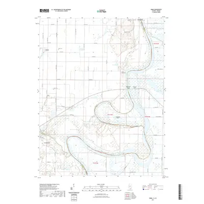
 1978 Emma1979 Print · USGSThe river bottomlands of White County and the Illinois-Indiana border are captured here in the late seventies. Researchers can trace local genealogy and river history through landmarks like Emma Concord Ch, Marshall Ferry, and the Dogtown Hills.2 unique versions available
 - 1984 Map of West Frankfort, 1985 Print
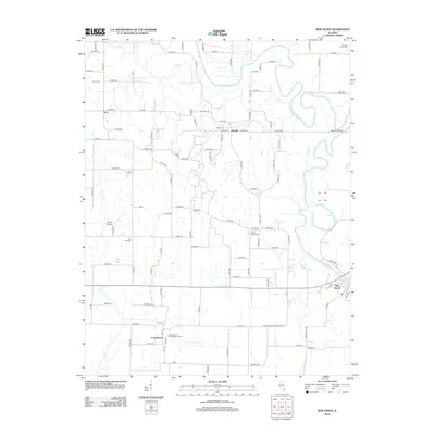
 1984 West Frankfort1985 Print · USGSSouthern Illinois at the peak of late-century coal and oil production reveals a complex landscape of industry and conservation. Genealogists and historians can trace rail-served mining hubs like Orient No. 3 Mine and the historic riverfront at Old Shawneetown.
 - 1987 Map of West Frankfort
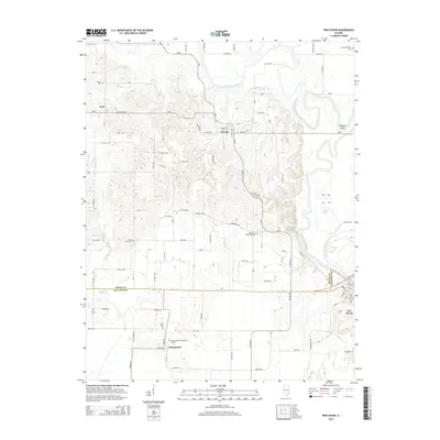
 1987 West Frankfort1987 Print · USGSSouthern Illinois in the late eighties shows a landscape defined by the coal and river economies. Researchers can trace the extensive Strip Mine works and historic settlements like Shawneetown and Carriers Mills along the Illinois Central Railroad.
 - 1987 Map of Paducah, 1988 Print
 1987 Paducah1988 Print · USGSThe Lower Ohio Valley and the Illinois Ozarks come alive in this late twentieth-century regional survey. Genealogists and local historians can trace river-town roots and state park landmarks from Metropolis to Cape Girardeau and Trail of Tears State Park.
 - 2010 Map of Emma, 2010 Print
 2010 Emma2010 Print · USGSCovers New Haven, including Emma, Posey County, and other nearby areas
 - 2012 Map of New Haven, 2012 Print
 2012 New Haven2012 Print · USGSCovers New Haven, including Iron, Herald, and other nearby areas
 - 2012 Map of Emma, 2012 Print
 2012 Emma2012 Print · USGSCovers New Haven, including Emma, Posey County, and other nearby areas
 - 2015 Map of New Haven, 2015 Print
 2015 New Haven2015 Print · USGSCovers New Haven, including Iron, Herald, and other nearby areas
 - 2015 Map of Emma, 2015 Print
 2015 Emma2015 Print · USGSCovers New Haven, including Emma, Posey County, and other nearby areas
 - 2018 Map of New Haven, 2018 Print
 2018 New Haven2018 Print · USGSCovers New Haven, including Iron, Herald, and other nearby areas
 - 2018 Map of Emma, 2018 Print
 2018 Emma2018 Print · USGSCovers New Haven, including Emma, Posey County, and other nearby areas
 - 2021 Map of Emma, 2021 Print
 2021 Emma2021 Print · USGSCovers New Haven, including Emma, Posey County, and other nearby areas
 - 2021 Map of New Haven, 2021 Print
 2021 New Haven2021 Print · USGSCovers New Haven, including Iron, Herald, and other nearby areas
 - 2024 Map of New Haven, 2024 Print
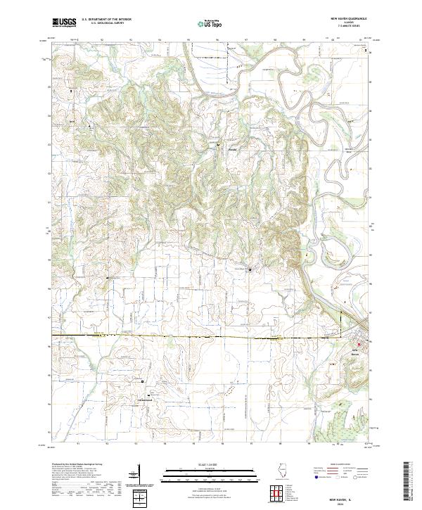 2024 New Haven2024 Print · USGSGallatin and White counties are mapped in the modern era, showing the enduring rural layout of the Little Wabash River valley. Genealogists can locate several family burial sites, such as the Garrison Family Cemetery and Swan Cemetery, alongside the old community of Herald.
 - 2024 Map of Emma, 2024 Print
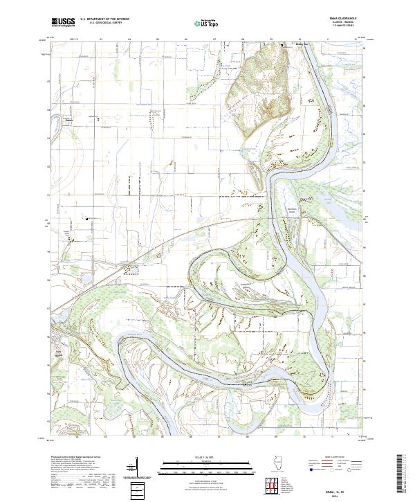 2024 Emma2024 Print · USGSThe confluence and meanders of the Wabash River and Little Wabash River define this river-border region during the early twenty-first century. Researchers can trace historic family burial sites at Abshire Cem or Orange Grove Cem and explore the shifting riverbanks near Hermann Island and New Haven.
End of results
Showing maps 1-25 of 25
Top cities near New Haven
- Mount Vernon historical maps
- Carmi historical maps
- Morganfield historical maps
- Shawneetown historical maps
- Uniontown historical maps
- Norris City historical maps
See more
Frequently asked questions
- What are the different types of historical maps available for New Haven?
- What is the oldest map of New Haven?
- Where can I purchase historical maps of New Haven for my home or office?
- Where can I download high-res historical maps of New Haven?
- Are there historical topographic maps available for New Haven?
- Is there historical aerial imagery available for New Haven?
- Where are historical maps of New Haven sourced from?