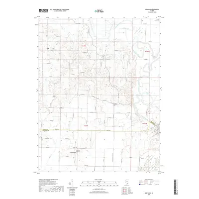
2018 Map of New Haven
USGS Topo · Published 2018About this map
The Little Wabash River winds through the borderlands of White and Gallatin Counties, defining a landscape of low-lying wetlands and agricultural upland. This 2018 survey documents the enduring rural character of settlements like New Haven, Herald, and Iron, where local history is anchored by numerous small burial grounds including Garrison Family Cem, Green Cem, and Moore Cem. The southern reach of the map is dominated by the community of Cottonwood, home to the Cottonwood Presbyterian Church. The eastern edge reveals the river’s complex hydrology, featuring the horseshoe turn at Winners Bend and the broad, marshy expanses of Goose Pond Swamp and Cattail Slough. Small-scale aviation is represented by Sutton Airport, while the grid of county roads, such as Co RD 200 N, provides the primary framework for this Southern Illinois river valley.
Find a feature on this map
95 named features on this map. Tap any name to fly to it.
Don’t see what you’re looking for? This feature index may not catch every label — zoom into the map to look around manually.
Map Details
Editions of this 2018 New Haven Map
This is the sole edition of this map. No revisions or reprints were ever made.
Other maps of this area

1905 · Eldorado
USGS Topo · 1:62,500

1905 · New Haven
USGS Topo · 1:62,500

1906 · New Haven
USGS Topo · 1:62,500

1906 · Eldorado
USGS Topo · 1:62,500

1940 · Carmi
USGS Topo · 1:62,500

1941 · Enfield
USGS Topo · 1:62,500

1943 · Carmi
USGS Topo · 1:62,500

1944 · Enfield
USGS Topo · 1:62,500

1949 · Paducah
USGS Topo · 1:250,000

1949 · New Haven
USGS Topo · 1:62,500