Old Maps of Lovilla, Illinois for Academic Research
Study the evolution of Lovilla with 11 high-resolution historic maps. Whether you're teaching, researching, or modeling changes in land use, these maps provide essential visual documentation of urban, environmental, and geographic change.
- Analyze long-term change: Track patterns in development, transportation, and natural features.
- Ideal for environmental or urban studies: Support academic projects with primary historical map data.
- Use in the classroom or lab: Educators and researchers rely on these maps to bring historical context to life.
These maps are a powerful tool for teaching, research, and visualizing how Lovilla has changed over the decades.
Lovilla, IL maps
(11)- 1942 Map of McLeansboro, 1961 Print
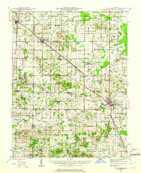 1942 McLeansboro1961 Print · USGSHamilton County in the early 1940s was a landscape of tightly-knit farming communities and small rail stops. Genealogists can trace family roots through a remarkable number of local landmarks like Piopolis, Seminary Sch, and Union Hill Cem.2 unique versions available
 - 1945 Map of McLeansboro
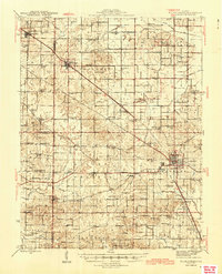 1945 McLeansboro1945 Print · USGSIn the mid-1940s, this portion of Southern Illinois was a landscape of steam-era rail junctions and tight-knit rural school districts. Genealogists can trace family roots through scores of rural landmarks, from Knight Prairie and Piopolis to the Sulphur Springs Sch.2 unique versions available
 - 1958 Map of Belleville, 1973 Print
 1958 Belleville1973 Print · USGSSouthern Illinois during the mid-twentieth century reveals a landscape of industrial growth and massive new reservoirs. Genealogists and historians can trace the paths of the Illinois Central RR through towns like Centralia or locate landmarks such as Emerald Mound and the Looking Glass Prairie.3 unique versions available
 - 1962 Map of Belleville
 1962 Belleville1962 Print · USGSSouthern Illinois in the late fifties reveals a landscape of industrial growth and ancient landmarks before the full expansion of the interstate system. Genealogists can trace family names and rural post offices near Centralia, Salem, and the historic Monks Mound.
 - 1974 Map of Dahlgren, 1977 Print
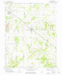 1974 Dahlgren1977 Print · USGSSouthern Illinois prairie life in the mid-1970s is centered on the rail junctions of Dahlgren and Belle Rive. Genealogists can trace family names through dozens of rural sites, including St Johns Cem, Sugar Camp Ch, and Little Egypt Youth Camp.
 - 1982 Map of Mount Vernon
 1982 Mount Vernon1982 Print · USGSSouthern Illinois and Southwestern Indiana meet here during a period of significant regional water management and transit growth. Researchers can trace the development of Rend Lake and locate vanished rail stops along the Southern RR near Bluford and Golden Gate.
 - 2012 Map of Dahlgren, 2012 Print
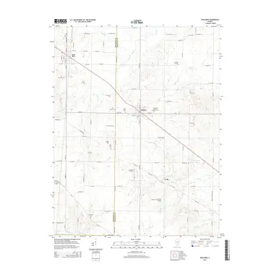
 2012 Dahlgren2012 Print · USGSCovers Lovilla, including Dahlgren, Belle Rive, and other nearby areas
 - 2015 Map of Dahlgren, 2015 Print
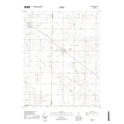
 2015 Dahlgren2015 Print · USGSCovers Lovilla, including Dahlgren, Belle Rive, and other nearby areas
 - 2018 Map of Dahlgren, 2018 Print
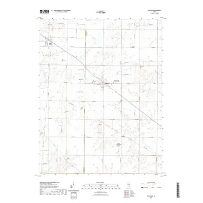
 2018 Dahlgren2018 Print · USGSCovers Lovilla, including Dahlgren, Belle Rive, and other nearby areas
 - 2021 Map of Dahlgren, 2021 Print
 2021 Dahlgren2021 Print · USGSCovers Lovilla, including Dahlgren, Belle Rive, and other nearby areas
 - 2024 Map of Dahlgren, 2024 Print
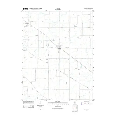
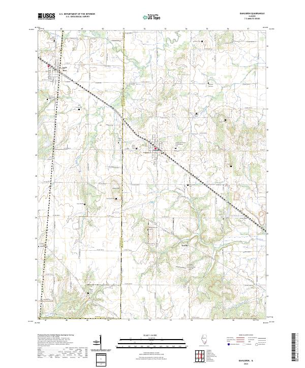 2024 Dahlgren2024 Print · USGSDahlgren and Belle Rive sit at the intersection of Jefferson and Hamilton counties in this recent survey of southern Illinois. Genealogists can trace family landmarks and burial sites across the landscape, from Wall Family Cem to the Lowry Hill Cem and Sugar Camp Cem.
End of results
Showing maps 1-11 of 11
Top cities near Lovilla
- Mount Vernon historical maps
- Benton historical maps
- Spring Garden historical maps
- McLeansboro historical maps
- Ina historical maps
- Wayne City historical maps
See more
Frequently asked questions
- What are the different types of historical maps available for Lovilla?
- What is the oldest map of Lovilla?
- Where can I purchase historical maps of Lovilla for my home or office?
- Where can I download high-res historical maps of Lovilla?
- Are there historical topographic maps available for Lovilla?
- Is there historical aerial imagery available for Lovilla?
- Where are historical maps of Lovilla sourced from?