1900s (20th Century) Maps of Grand Tower, Illinois
Explore 26 historic maps of Grand Tower from the 1900s (20th Century). These maps offer a rare glimpse into what life looked like during the 1900s — showing old roads, neighborhoods, homes, and landmarks that have changed or disappeared over time.
Whether you're researching your family's past, planning a metal detecting trip, or studying how Grand Tower's landscape evolved across the 1900s, these high-resolution maps are a powerful tool for exploring the history of this region.
- Focus on a specific era: All maps on this page are from the 1900s, giving you a focused view of this time period.
- See what’s changed: Compare century-old streets, trails, and buildings to today's modern landscape using overlays and satellite layers.
- Research with precision: Use these maps for genealogy, historical research, land use analysis, or educational projects.
- View, download, or print: Maps are fully viewable online in high resolution, and can be downloaded or printed for your own records.
Start exploring Grand Tower's history through authentic maps from the 1900s. This is your window into the past.
Grand Tower, IL maps
(26)- 1918 Map of Altenburg
 1918 Altenburg1918 Print · USGSThe riverfronts of Perry and Jackson counties were still shaped by steam and rail when this survey was completed during the First World War. Local historians can trace family ties to small communities like Neunert and Jacob or locate old schoolhouse sites such as Hanlein School.
 - 1924 Map of Alto Pass
 1924 Alto Pass1924 Print · USGSSouthern Illinois at the peak of the rail era shows a landscape of river ferries and ridge-top settlements. Genealogists can trace family footprints across dozens of local landmarks like Rattlesnake Ferry, Goodbread Church, and Worthen School.2 unique versions available
 - 1925 Map of Altenburg
 1925 Altenburg1925 Print · USGSEastern Perry County and the Mississippi riverfront are documented here during the mid-twenties, showcasing a landscape of Saxon Lutheran heritage and river commerce. Genealogists can locate family landmarks like New Bethel Church, Hager School, and the vanished river site of Wittenberg.3 unique versions available
 - 1947 Map of Alto Pass, 1954 Print
 1947 Alto Pass1954 Print · USGSSouthern Illinois in the late 1940s is defined by the high ridges of the Shawnee Hills and the sweeping Mississippi floodplains. Researchers can trace rural life through sites like Dutch Ridge Church, the Macedonia School, and the river crossing at Rattlesnake Ferry.2 unique versions available
 - 1947 Map of Gorham, 1966 Print
 1947 Gorham1966 Print · USGSJackson County during the late 1940s is defined here by the winding Big Muddy River and the busy rail junction at Gorham. Researchers can trace the river's many curves like Mill Bend or locate rural landmarks including Fairview Ch and the Rattlesnake Ferry.4 unique versions available
 - 1947 Map of Wolf Lake, 1966 Print
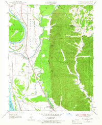 1947 Wolf Lake1966 Print · USGSThe Mississippi River bottoms and Shawnee National Forest hills meet in the late 1940s, showing a landscape shaped by rail and river. Genealogists can trace local landmarks like Galilee Ch and rural schoolhouses such as Cauble Sch and McCann Sch.3 unique versions available
 - 1947 Map of Altenburg, 1976 Print
 1947 Altenburg1976 Print · USGSSoutheastern Missouri's river bluffs and Lutheran heritage are documented here in the mid-forties, showing the close-knit network of river landings and small-town commerce. Genealogists can trace family footprints across Altenburg, Frohna, and dozens of rural schools like Fiehler Sch or Buckeye Sch.
 - 1947 Map of Altenburg, 1976 Print
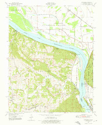 1947 Altenburg1976 Print · USGSThe Mississippi River valley at mid-century is captured here, showing the river-and-rail hub of the Missouri and Illinois border. Genealogists can trace the rural communities of Altenburg, Frohna, and Seventysix alongside landmarks like Union Sch and Tower Rock.4 unique versions available
 - 1948 Map of Wolf Lake
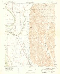 1948 Wolf Lake1948 Print · USGSThe Illinois-Missouri borderlands at the end of the 1940s reveal a landscape of river-driven commerce and scattered rural schoolhouses. Genealogists can trace family footprints at Galilee Ch, Bennett Landing, and the many namesake schools like McCann Sch and McGuire Sch.2 unique versions available
 - 1948 Map of Neelys Landing
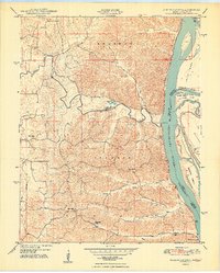 1948 Neelys Landing1948 Print · USGSThe Missouri-Illinois river border is captured here in the late 1940s, showing a landscape of small river landings and ridge-top farms. Genealogists can trace family footprints at New Wells, the New Bethel Ch, and several rural schoolhouses like Oak Hill Sch.5 unique versions available
 - 1948 Map of Gorham
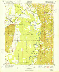 1948 Gorham1948 Print · USGSThe Illinois riverfront and the Big Muddy River bottomlands are captured here in the late 1940s. Genealogists can locate family landmarks such as Goodbread Cem, old school sites like Shoal Creek School, and the historic Rattlesnake Ferry crossing.2 unique versions available
 - 1948 Map of Altenburg
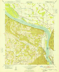 1948 Altenburg1948 Print · USGSThe Missouri-Illinois borderlands come alive in the late 1940s, showcasing the riverfront culture and inland farming life of Perry and Jackson Counties. Researchers can trace ancestral footprints through historic landings like Star Landing or locate rural schools such as Solomon Sch and Union Sch.2 unique versions available
 - 1949 Map of Alto Pass
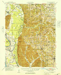 1949 Alto Pass1949 Print · USGSSouthern Illinois river life and hill country are captured here shortly after the war, showing the Mississippi corridor in detail. You can trace old river crossings like Rattlesnake Ferry and locate rural landmarks such as Bald Knob, Lyerle Chapel, and the Hickory Ridge School.
 - 1949 Map of Paducah
 1949 Paducah1949 Print · USGSThe confluence of the Ohio, Mississippi, Tennessee, and Cumberland rivers at the close of the 1940s reveals a region bound by water and rail. Researchers can trace historic river landings, timberlands in the Shawnee National Forest, and the coal-mining infrastructure around West Frankfort and Herrin.2 unique versions available
 - 1949 Map of Altenburg
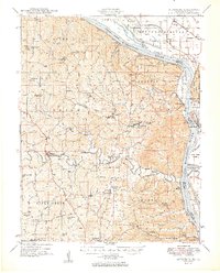 1949 Altenburg1949 Print · USGSMid-century Perry and Cape Girardeau counties show a landscape of tight-knit rural communities along the Mississippi River just after the war. Family historians can trace ancestral roots through numerous local landmarks like Uniontown Sch, New Wells School, and the river landings at Wittenberg and Hines Landing.3 unique versions available
 - 1950 Map of Paducah
 1950 Paducah1950 Print · USGSThe confluence of the great midwestern rivers defines this mid-century landscape at the intersection of Illinois, Kentucky, and Missouri. Genealogists and historians can trace the rail-and-river economy through the hubs of Paducah, Cairo, and Metropolis or locate family roots near the Wildcat Hills.
 - 1954 Map of Paducah
 1954 Paducah1954 Print · USGSSouthern Illinois and Western Kentucky intersect at the great river confluences during this mid-century era of rail and river industry. Genealogists and historians can trace family roots and commerce through river towns like Cairo, Metropolis, and Golconda, or along the tracks of the Illinois Central Railroad.2 unique versions available
 - 1961 Map of Paducah
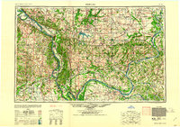 1961 Paducah1961 Print · USGSThe Lower Ohio Valley at mid-century is a landscape defined by its great rivers and newly formed reservoirs. Researchers can trace the riverfronts of Paducah and Metropolis, or locate smaller settlements like Old Shawneetown and Cave in Rock along the banks.2 unique versions available
 - 1964 Map of Paducah
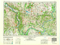 1964 Paducah1964 Print · USGSThe river-and-rail corridor of Southern Illinois and Western Kentucky is captured here during the height of the mid-century industrial era. Genealogists and researchers can trace local landmarks across several counties, from the rail yards of Paducah to the waters of Crab Orchard Lake and Kentucky Reservoir.2 unique versions available
 - 1984 Map of Carbondale, 1985 Print
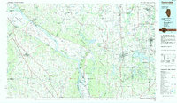 1984 Carbondale1985 Print · USGSSouthern Illinois in the mid-1980s was a crossroads of major rail lines and vast conservation lands centered on Carbondale. Local researchers can trace the development of Southern Illinois University, the Menard Correctional Center, and the many shorelines of Crab Orchard Lake.
 - 1986 Map of Carbondale
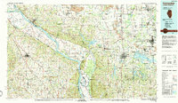 1986 Carbondale1986 Print · USGSSouthern Illinois and the Mississippi River valley are captured in the mid-eighties as a landscape of diverse water systems and conservation lands. Researchers can trace the development of Southern Illinois University or locate landmarks like Fort Gage and St Marys Seminary.
 - 1987 Map of Paducah, 1988 Print
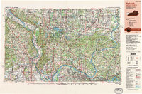 1987 Paducah1988 Print · USGSThe Lower Ohio Valley and the Illinois Ozarks come alive in this late twentieth-century regional survey. Genealogists and local historians can trace river-town roots and state park landmarks from Metropolis to Cape Girardeau and Trail of Tears State Park.
 - 1993 Map of Neelys Landing, 1996 Print
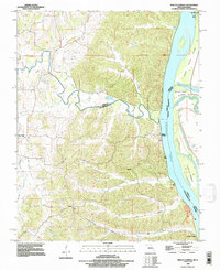 1993 Neelys Landing1996 Print · USGSThe riverfront bluffs and bottomlands of Cape Girardeau County are captured here in the early nineties as the landscape remained largely rural. Genealogists and historians can trace old river connections at Neelys Landing and Hines Landing or locate family sites near New Wells.
 - 1994 Map of Altenburg, 1996 Print
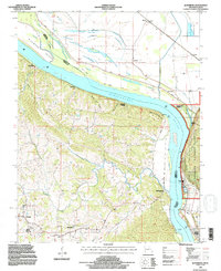 1994 Altenburg1996 Print · USGSPerry County and the Mississippi River bottoms are shown in high detail during the 1990s, capturing a landscape defined by historic river landings and blufftop towns. Genealogists and historians can trace family roots through Altenburg, Frohna, and the Neunert Cem, or locate old river points like Seventysix.2 unique versions available
 - 1994 Map of Wolf Lake, 1996 Print
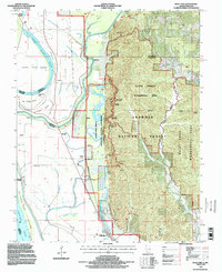 1994 Wolf Lake1996 Print · USGSIn the mid-1990s, the Mississippi bottomlands south of Grand Tower reveal a landscape shaped by drainage projects and river navigation. Genealogists and local historians can trace legacy sites like Aldridge, Kings Ferry, and the landing near Wolf Lake.
Showing maps 1-25 of 26
Top cities near Grand Tower
- Carbondale historical maps
- Jackson historical maps
- Murphysboro historical maps
- Jonesboro historical maps
- Pomona historical maps
- Sand Ridge historical maps
See more
Frequently asked questions
- What are the different types of historical maps available for Grand Tower?
- What is the oldest map of Grand Tower?
- Where can I purchase historical maps of Grand Tower for my home or office?
- Where can I download high-res historical maps of Grand Tower?
- Are there historical topographic maps available for Grand Tower?
- Is there historical aerial imagery available for Grand Tower?
- Where are historical maps of Grand Tower sourced from?