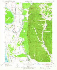
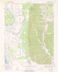
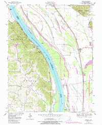
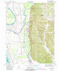
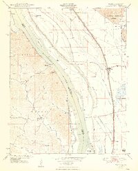
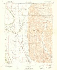
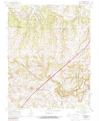
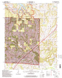
1947 Map of Wolf Lake
USGS Topo · Published 1966This historical map portrays the area of Wolf Lake in 1947, primarily covering Union County as well as portions of Missouri. Featuring a scale of 1:24000, this map provides a highly detailed snapshot of the terrain, roads, buildings, counties, and historical landmarks in the Wolf Lake region at the time. Published in 1966, it is one of 3 known editions of this map due to revisions or reprints.
Find a feature on this map
36 named features on this map. Tap any name to fly to it.
Don’t see what you’re looking for? This feature index may not catch every label — zoom into the map to look around manually.
Map Details
Editions of this 1947 Wolf Lake Map
3 editions found
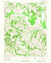
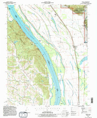
Historical Maps of Grand Tower Through Time
11 maps found
1947 Ware
Union County, IL
1947 Wolf Lake
Union County, IL
1948 Ware
Union County, IL
1948 Wolf Lake
Union County, IL
1953 Wabash Island
Union County, IL
1958 Wabash Island
Union County, IL
1966 Lick Creek
Union County, IL
1966 Mt Pleasant
Union County, IL
1993 Ware
Union County, IL
1994 Wolf Lake
Union County, IL
1996 Lick Creek
Union County, IL