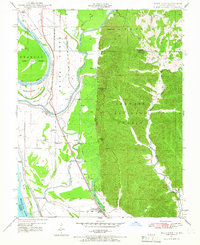
1947 Map of Wolf Lake
USGS Topo · Published 1966About this map
Mississippi River floodplains and the steep ridges of the Shawnee National Forest define this 1947 landscape at the intersection of Union and Jackson counties. The terrain is divided between the productive bottomlands of Grand Tower Island and the high elevations of Grassy Knob and McGee Hill. Transport and commerce follow the river’s edge, with the Illinois Central Railroad and Missouri Pacific Railroad threading through riverfront settlements like Aldridge and La Rue. Numerous rural schools, including Macedonia Sch and Beech Grove School, are scattered across the quadrangle, serving small farming communities. The presence of Otter Pond, Running Lake, and Wolf Lake illustrates the complex hydrology of the area where the Big Muddy River and Ditch systems manage drainage beneath the bluff line.
Find a feature on this map
36 named features on this map. Tap any name to fly to it.
Don’t see what you’re looking for? This feature index may not catch every label — zoom into the map to look around manually.
Map Details
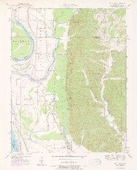
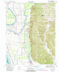
Editions of this 1947 Wolf Lake Map
3 editions found
Other maps of this area

1918 · Altenburg
USGS Topo · 1:62,500

1920 · Jonesboro
USGS Topo · 1:62,500

1922 · Cape Girardeau
USGS Topo · 1:62,500

1923 · Jonesboro
USGS Topo · 1:62,500

1924 · Cape Girardeau
USGS Topo · 1:62,500

1924 · Alto Pass
USGS Topo · 1:62,500

1925 · Altenburg
USGS Topo · 1:62,500

1947 · Jonesboro
USGS Topo · 1:62,500

1947 · Alto Pass
USGS Topo · 1:62,500

1947 · Gorham
USGS Topo · 1:24,000