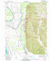
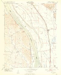
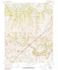
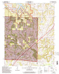
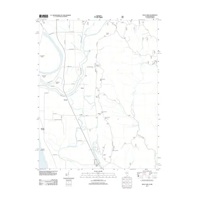
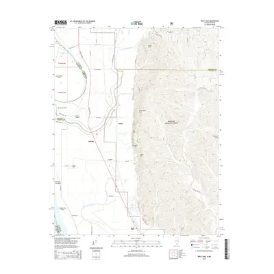
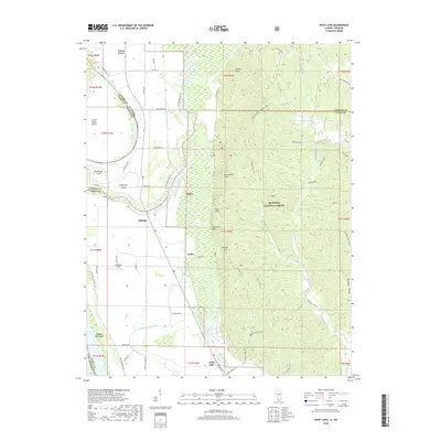
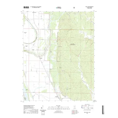
1947 Map of Wolf Lake
USGS Topo · Published 1990About this map
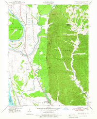
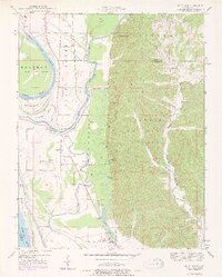
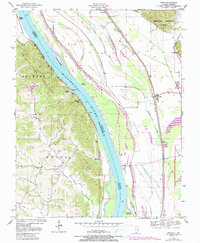
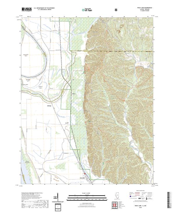
The Mississippi River floodplain dominates this 1940s landscape, where complex water systems like Tower Island Chute and Running Lake define the western border. Small settlements such as Aldridge, La Rue, and Wolf Lake are situated along the valley floor, connected by a network of levees and local roads that navigate the marshes and sloughs. To the east, the dramatic rise of the Pine Hills provides a sharp geological contrast, much of which is managed as part of the Shawnee National Forest. This intersection of river bottomlands and high bluffs created a unique environment for mid-century residents, evidenced by landmarks like Galilee Ch and the Pine Hills Campground. Researchers can observe how the drainage patterns of the Grand Tower Big Muddy River and Big Bayou influenced the placement of farms and small hamlets near Halsey and Kings Ferry.
Find a feature on this map
38 named features on this map. Tap any name to fly to it.
Don’t see what you’re looking for? This feature index may not catch every label — zoom into the map to look around manually.
Map Details
Editions of this 1947 Wolf Lake Map
3 editions found
Historical Maps of Grand Tower Through Time
31 maps found
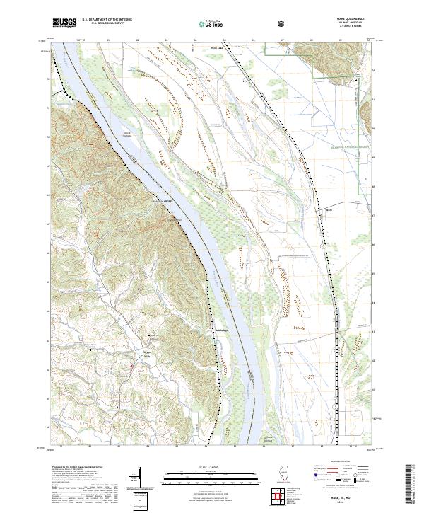
1947 Ware
Union County, IL
1947 Wolf Lake
Union County, IL
1948 Ware
Union County, IL
1948 Wolf Lake
Union County, IL
1953 Wabash Island
Union County, IL
1958 Wabash Island
Union County, IL
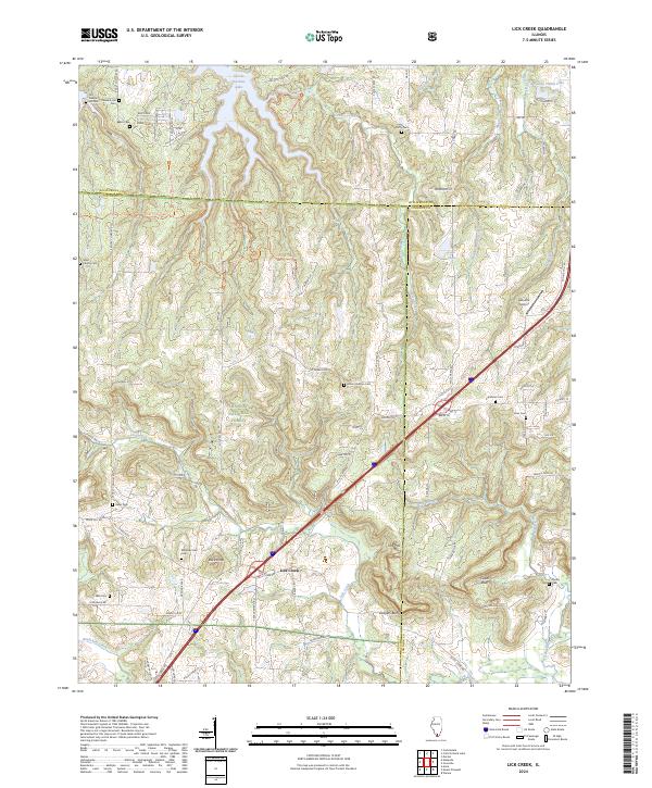
1966 Lick Creek
Union County, IL
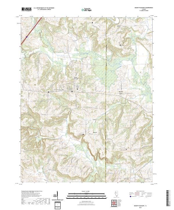
1966 Mt Pleasant
Union County, IL
1993 Ware
Union County, IL
1994 Wolf Lake
Union County, IL
1996 Lick Creek
Union County, IL
2012 Lick Creek
Union County, IL
2012 Mount Pleasant
Union County, IL
2012 Ware
Union County, IL
2012 Wolf Lake
Union County, IL
2015 Lick Creek
Union County, IL
2015 Mount Pleasant
Union County, IL
2015 Ware
Union County, IL
2015 Wolf Lake
Union County, IL
2018 Lick Creek
Union County, IL
2018 Mount Pleasant
Union County, IL
2018 Ware
Union County, IL
2018 Wolf Lake
Union County, IL
2021 Lick Creek
Union County, IL
2021 Mount Pleasant
Union County, IL
2021 Ware
Union County, IL
2021 Wolf Lake
Union County, IL
2024 Lick Creek
Union County, IL
2024 Mount Pleasant
Union County, IL
2024 Ware
Union County, IL
2024 Wolf Lake
Union County, IL