Old Maps of Latona, Illinois for Hiking & Exploration
Hike through history with 10 historic maps of Latona. Explore old trails, ghost towns, and forgotten backroads — perfect for outdoor adventurers and local explorers.
- Rediscover forgotten places: Map out old mining camps, roads, and footpaths that no longer exist on modern maps.
- Layer with modern tools: Combine with LiDAR or satellite views to plan hikes through historical terrain.
- Made for exploration: Popular among hikers, overlanders, and local history lovers.
Use these maps to find adventure and explore the hidden past of Latona.
Latona, IL maps
(10)- 1953 Map of Sailor Springs, 1955 Print
 1953 Sailor Springs1955 Print · USGSSoutheast Illinois farmland at the start of the fifties reveals a landscape of tight-knit rural precincts and family homesteads. Genealogists can trace family names through dozens of landmarks like Shouse Chapel, Bethsaida Cem, and the Little Grove Sch.2 unique versions available
 - 1958 Map of Belleville, 1973 Print
 1958 Belleville1973 Print · USGSSouthern Illinois during the mid-twentieth century reveals a landscape of industrial growth and massive new reservoirs. Genealogists and historians can trace the paths of the Illinois Central RR through towns like Centralia or locate landmarks such as Emerald Mound and the Looking Glass Prairie.3 unique versions available
 - 1962 Map of Belleville
 1962 Belleville1962 Print · USGSSouthern Illinois in the late fifties reveals a landscape of industrial growth and ancient landmarks before the full expansion of the interstate system. Genealogists can trace family names and rural post offices near Centralia, Salem, and the historic Monks Mound.
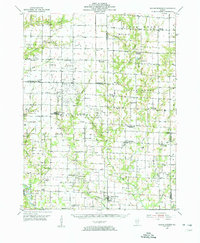
 - 1985 Map of Latona
 1985 Latona1985 Print · USGSJasper County in the 1980s shows a unique mix of heavy energy infrastructure and dedicated wildlife conservation. Researchers can trace the development of Newton Lake near the Power Plant and locate rural hubs like Latona and Winterrowd.
 - 1986 Map of Olney
 1986 Olney1986 Print · USGSSouth-central Illinois in the mid-eighties shows a landscape of small agricultural towns linked by historic rail lines and prairie preserves. Trace family roots and vanished rail stops near Kinmundy, the Prairie Chicken Sanctuary, and Salem.2 unique versions available
 - 2012 Map of Latona, 2012 Print
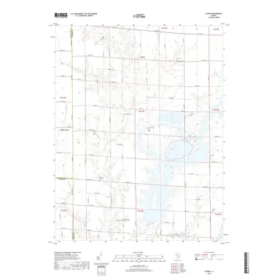
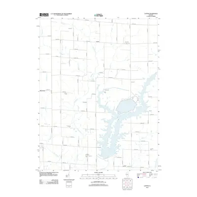 2012 Latona2012 Print · USGSCovers Latona, including Effingham County, Jasper County, and other nearby areas
 - 2015 Map of Latona, 2015 Print
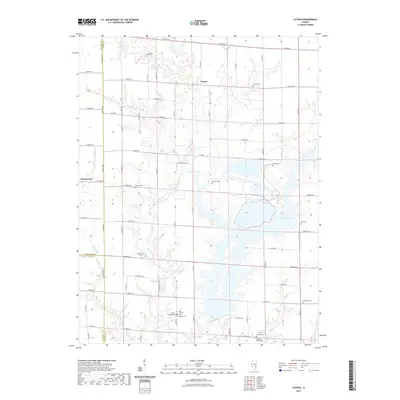
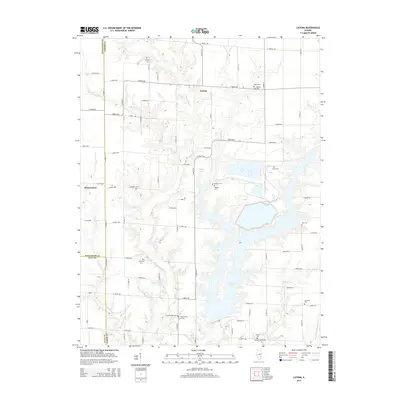 2015 Latona2015 Print · USGSCovers Latona, including Effingham County, Jasper County, and other nearby areas
 - 2018 Map of Latona, 2018 Print
 2018 Latona2018 Print · USGSCovers Latona, including Effingham County, Jasper County, and other nearby areas
 - 2021 Map of Latona, 2021 Print
 2021 Latona2021 Print · USGSCovers Latona, including Effingham County, Jasper County, and other nearby areas
 - 2024 Map of Latona, 2024 Print
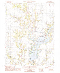
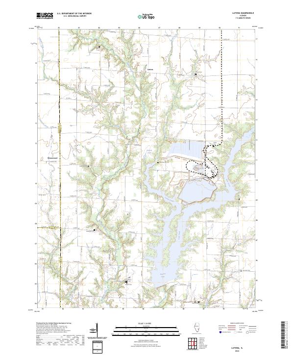 2024 Latona2024 Print · USGSJasper County's rural landscape is captured here in the early twenty-first century, centered on the sprawling waters of Newton Lake. Genealogists will find a wealth of burial sites to explore, from Headyville Cem and Abbott Cem to the namesake settlement of Latona.
End of results
Showing maps 1-10 of 10
Top cities near Latona
- Effingham historical maps
- Olney historical maps
- Newton historical maps
- Teutopolis historical maps
- Louisville historical maps
- Dieterich historical maps
See more
Frequently asked questions
- What are the different types of historical maps available for Latona?
- What is the oldest map of Latona?
- Where can I purchase historical maps of Latona for my home or office?
- Where can I download high-res historical maps of Latona?
- Are there historical topographic maps available for Latona?
- Is there historical aerial imagery available for Latona?
- Where are historical maps of Latona sourced from?