Old Maps of Mount Vernon, Illinois for Academic Research
Study the evolution of Mount Vernon with 17 high-resolution historic maps. Whether you're teaching, researching, or modeling changes in land use, these maps provide essential visual documentation of urban, environmental, and geographic change.
- Analyze long-term change: Track patterns in development, transportation, and natural features.
- Ideal for environmental or urban studies: Support academic projects with primary historical map data.
- Use in the classroom or lab: Educators and researchers rely on these maps to bring historical context to life.
These maps are a powerful tool for teaching, research, and visualizing how Mount Vernon has changed over the decades.
Mount Vernon, IL maps
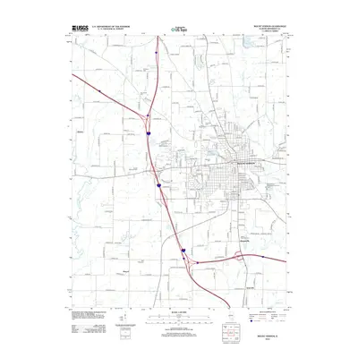
(17)- 1933 Map of Mount Vernon
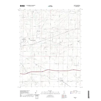
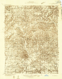 1933 Mount Vernon1933 Print · USGSMount Vernon and the surrounding Jefferson County countryside are captured here in the early 1930s as a vital crossroads of rail and road. Genealogists can trace family roots through dozens of rural landmarks like Old Shiloh Ch, George College Sch, and Atkinson Cem.3 unique versions available
 - 1940 Map of Mount Vernon
 1940 Mount Vernon1940 Print · USGSMount Vernon and the surrounding Jefferson County countryside are captured here during the late Depression years. Researchers can trace rural family life through dozens of named country schools and churches like George College Sch, Old Shiloh Ch, and Atkinson Cem.2 unique versions available
 - 1958 Map of Belleville, 1973 Print
 1958 Belleville1973 Print · USGSSouthern Illinois during the mid-twentieth century reveals a landscape of industrial growth and massive new reservoirs. Genealogists and historians can trace the paths of the Illinois Central RR through towns like Centralia or locate landmarks such as Emerald Mound and the Looking Glass Prairie.3 unique versions available
 - 1962 Map of Belleville
 1962 Belleville1962 Print · USGSSouthern Illinois in the late fifties reveals a landscape of industrial growth and ancient landmarks before the full expansion of the interstate system. Genealogists can trace family names and rural post offices near Centralia, Salem, and the historic Monks Mound.
 - 1964 Map of Opdyke, 1966 Print
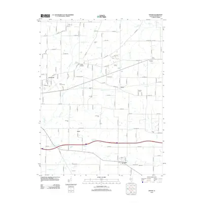
 1964 Opdyke1966 Print · USGSJefferson County in the mid-sixties shows a landscape shaped by the Southern and Louisville and Nashville railroads. Genealogists can locate family-named landmarks like Arnold Cem, Old Orchard Cem, and the rural Lebanon Ch.2 unique versions available
 - 1965 Map of Mount Vernon, 1966 Print
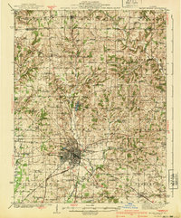
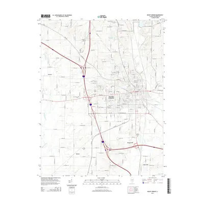
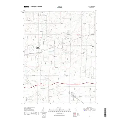
 1965 Mount Vernon1966 Print · USGSMid-century Mount Vernon is shown here as a bustling hub of rail transport and civic institutions. Genealogists and historians can trace family roots through numerous country landmarks like Old Shiloh Cem, Wolf Prairie Cem, and the McClellan Sch.2 unique versions available
 - 1982 Map of Mount Vernon
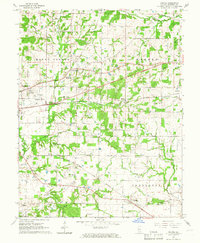
 1982 Mount Vernon1982 Print · USGSSouthern Illinois and Southwestern Indiana meet here during a period of significant regional water management and transit growth. Researchers can trace the development of Rend Lake and locate vanished rail stops along the Southern RR near Bluford and Golden Gate.
 - 2012 Map of Mount Vernon, 2012 Print
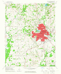
 2012 Mount Vernon2012 Print · USGSCovers Mount Vernon, including Drivers, Webster Hill Estates, and other nearby areas
 - 2012 Map of Opdyke, 2012 Print
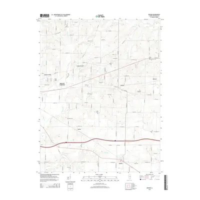
 2012 Opdyke2012 Print · USGSCovers Mount Vernon, including Bluford, Summersville, and other nearby areas
 - 2015 Map of Opdyke, 2015 Print
 2015 Opdyke2015 Print · USGSCovers Mount Vernon, including Bluford, Summersville, and other nearby areas
 - 2015 Map of Mount Vernon, 2015 Print
 2015 Mount Vernon2015 Print · USGSCovers Mount Vernon, including Drivers, Webster Hill Estates, and other nearby areas
 - 2018 Map of Opdyke, 2018 Print
 2018 Opdyke2018 Print · USGSCovers Mount Vernon, including Bluford, Summersville, and other nearby areas
 - 2018 Map of Mount Vernon, 2018 Print
 2018 Mount Vernon2018 Print · USGSCovers Mount Vernon, including Drivers, Webster Hill Estates, and other nearby areas
 - 2021 Map of Opdyke, 2021 Print
 2021 Opdyke2021 Print · USGSCovers Mount Vernon, including Bluford, Summersville, and other nearby areas
 - 2021 Map of Mount Vernon, 2021 Print
 2021 Mount Vernon2021 Print · USGSCovers Mount Vernon, including Drivers, Webster Hill Estates, and other nearby areas
 - 2024 Map of Mount Vernon, 2024 Print
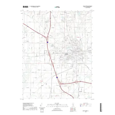
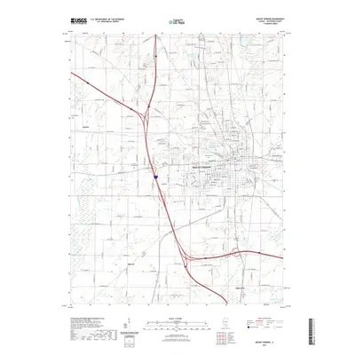
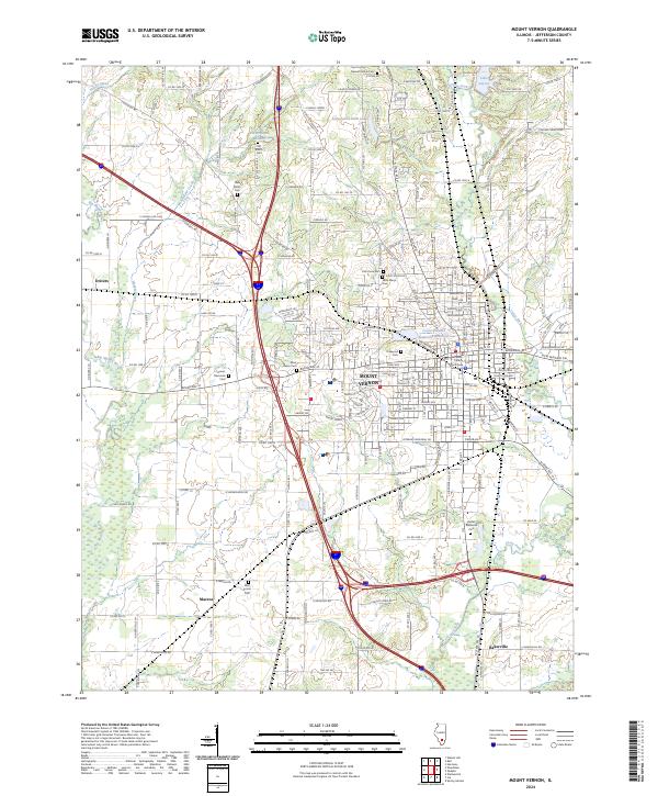 2024 Mount Vernon2024 Print · USGSMount Vernon and its southern rural reaches are captured here in the twenty-first century, showing a mix of urban development and agricultural tradition. Genealogists can trace family names at Old Shiloh Cem, Oakwood Cem, and the Bethel Memorial Cem.
 - 2024 Map of Opdyke, 2024 Print
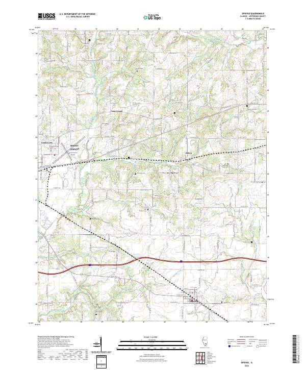 2024 Opdyke2024 Print · USGSSouthern Jefferson County is captured here in the 2020s, showing the rural landscape surrounding Opdyke and Marlow. Researchers can locate numerous family burial grounds like Black Oak Ridge Cem and follow the paths of Dodds Creek and Sevenmile Creek.
End of results
Showing maps 1-17 of 17
Top cities near Mount Vernon
- Centralia historical maps
- Spring Garden historical maps
- Ina historical maps
- Sesser historical maps
- Bluford historical maps
- Woodlawn historical maps
See more
Top neighborhoods of Mount Vernon
Frequently asked questions
- What are the different types of historical maps available for Mount Vernon?
- What is the oldest map of Mount Vernon?
- Where can I purchase historical maps of Mount Vernon for my home or office?
- Where can I download high-res historical maps of Mount Vernon?
- Are there historical topographic maps available for Mount Vernon?
- Is there historical aerial imagery available for Mount Vernon?
- Where are historical maps of Mount Vernon sourced from?