
1958 Map of Belleville
USGS Topo · Published 1973About this map
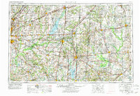
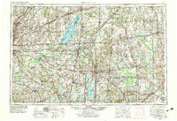
Belleville and the expanding industrial corridor of Southern Illinois anchor this 1950s-era landscape, revised to show the emergence of major water projects and regional infrastructure. The massive Carlyle Reservoir and Rend Lake stand out as dominant features, altering the hydrology once defined solely by the Kaskaskia River and Little Wabash River. These man-made lakes sit amidst a legacy of diverse terrain, including the historic Looking Glass Prairie and Grande Cote Prairie, alongside natural landmarks like Emerald Mound.
Find a feature on this map
115 named features on this map. Tap any name to fly to it.
Don’t see what you’re looking for? This feature index may not catch every label — zoom into the map to look around manually.
Map Details
Editions of this 1958 Belleville Map
3 editions found
Other maps of this area

1888 · St. Louis
USGS Topo · 1:62,500

1903 · New Harmony
USGS Topo · 1:62,500

1903 · Patoka
USGS Topo · 1:125,000

1904 · Mount Carmel
USGS Topo · 1:62,500

1905 · Eldorado
USGS Topo · 1:62,500

1905 · New Haven
USGS Topo · 1:62,500

1906 · New Haven
USGS Topo · 1:62,500

1906 · Eldorado
USGS Topo · 1:62,500

1906 · Breese
USGS Topo · 1:62,500

1907 · Breese
USGS Topo · 1:62,500