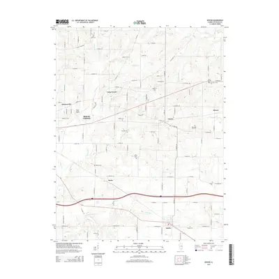
2015 Map of Opdyke
USGS Topo · Published 2015About this map
Mount Vernon and the eastern Jefferson County landscape are defined by a dense network of creek drainages and small rural settlements in this 2015 update. The terrain is partitioned by waterways such as Sevenmile Cr and Casey Fork, which have historically influenced the layout of local roads and farmsteads. Smaller communities like Opdyke, Bluford, and Shirley anchor the surrounding agricultural lands, while the Mount Vernon Airport serves as a modern transportation landmark on the western edge.
Find a feature on this map
100 named features on this map. Tap any name to fly to it.
Don’t see what you’re looking for? This feature index may not catch every label — zoom into the map to look around manually.
Map Details
Editions of this 2015 Opdyke Map
This is the sole edition of this map. No revisions or reprints were ever made.
Other maps of this area

1933 · Mount Vernon
USGS Topo · 1:48,000

1939 · Ina
USGS Topo · 1:62,500

1940 · Mount Vernon
USGS Topo · 1:62,500

1942 · McLeansboro
USGS Topo · 1:62,500

1943 · Ina
USGS Topo · 1:62,500

1945 · McLeansboro
USGS Topo · 1:62,500

1947 · Wayne City
USGS Topo · 1:62,500

1958 · Belleville
USGS Topo · 1:250,000

1962 · Belleville
USGS Topo · 1:250,000

1964 · Opdyke
USGS Topo · 1:24,000