Old Maps of Fieldon, Illinois for Academic Research
Study the evolution of Fieldon with 20 high-resolution historic maps. Whether you're teaching, researching, or modeling changes in land use, these maps provide essential visual documentation of urban, environmental, and geographic change.
- Analyze long-term change: Track patterns in development, transportation, and natural features.
- Ideal for environmental or urban studies: Support academic projects with primary historical map data.
- Use in the classroom or lab: Educators and researchers rely on these maps to bring historical context to life.
These maps are a powerful tool for teaching, research, and visualizing how Fieldon has changed over the decades.
Fieldon, IL maps
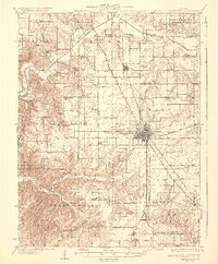
(20)- 1930 Map of Hardin
 1930 Hardin1930 Print · USGSCalhoun County's narrow peninsula is captured here between the two great rivers during the late Prohibition era. Genealogists and local researchers can locate numerous rural landmarks like Indian Creek Ch, Oases Ch, and a high concentration of schoolhouses including South Lincoln Sch.2 unique versions available
 - 1930 Map of Jerseyville, 1965 Print
 1930 Jerseyville1965 Print · USGSJersey and Greene Counties are captured here between the world wars, showing a landscape defined by steam rail and one-room schoolhouses. Genealogists can trace the exact locations of Old Kane, the County Farm, and numerous local landmarks like St Marys Sch.2 unique versions available
 - 1933 Map of Jerseyville
 1933 Jerseyville1933 Print · USGSJersey County is captured in the early thirties as a hub of rail activity and rural education. Genealogists can trace family roots through numerous local landmarks like Bethany Ch, Otterville, and the remote Shakerag Sch.2 unique versions available
 - 1934 Map of Hardin, 1956 Print
 1934 Hardin1956 Print · USGSThe river bluffs of Calhoun and Greene counties come alive in this mid-1930s survey of the Mississippi River and Illinois River valleys. Genealogists can trace family roots through numerous rural landmarks like Indian Creek Ch, St Andrew Ch, and the Pecan Grove Sch.2 unique versions available
 - 1938 Map of Hardin
 1938 Hardin1938 Print · USGSThe river-bound peninsula of Calhoun County is shown here in the 1930s, caught between the shifting chutes of the Mississippi and the Illinois rivers. Genealogists can trace family roots through numerous rural landmarks like Gilead Cemetery, the Poor Farm, and small communities such as Batchtown and Hamburg.2 unique versions available
 - 1948 Map of Quincy
 1948 Quincy1948 Print · USGSThe Mississippi and Illinois River valleys are captured at a post-war crossroads as rail and river travel met the expanding highway system. Genealogists can trace family settlements from Quincy to Hannibal and smaller towns like Vandalia and Jerseyville.2 unique versions available
 - 1956 Map of Quincy, 1967 Print
 1956 Quincy1967 Print · USGSThe river and rail corridors of the Illinois-Missouri border are documented here during the mid-1950s. Researchers can trace historic river landings and regional transit hubs from Quincy and Hannibal to smaller settlements like Meredosia and Roodhouse.3 unique versions available
 - 1975 Map of Nutwood, 1978 Print
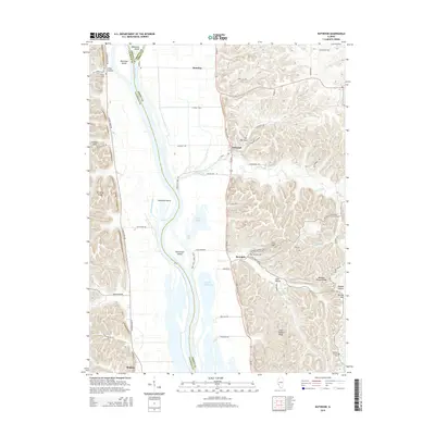
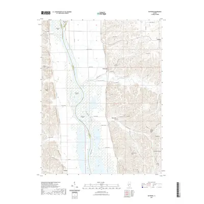
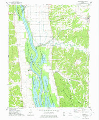 1975 Nutwood1978 Print · USGSAlong the Illinois River in the mid-seventies, this survey reveals the dense backwaters and bluff-side communities of Jersey and Calhoun counties. Researchers can trace family sites near Nutwood and Rosedale, or locate recreational camps like Camp Piasa and Camp Potawatomi.
 - 1983 Map of Otterville, 1984 Print
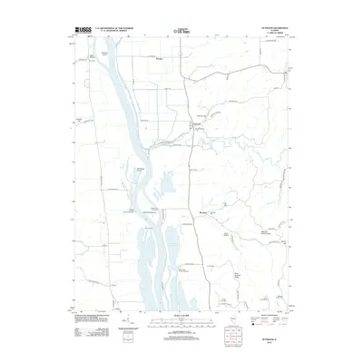
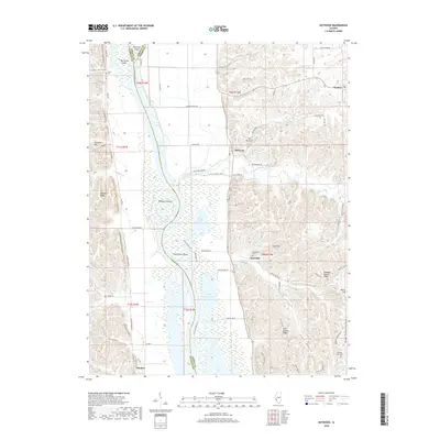
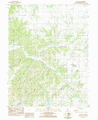 1983 Otterville1984 Print · USGSOtterville and Fieldon sit among a dense network of ridges and hollows in rural Jersey County during the early eighties. Researchers can trace dozens of family burial sites such as Hamilton Cem, Reddish Cem, and Dabbs Cem alongside landmarks like Union Forest Ch.
 - 1985 Map of Jerseyville
 1985 Jerseyville1985 Print · USGSThe confluence of the Illinois and Mississippi rivers defines this 1980s landscape of fertile bottomlands and rail-hub towns. Genealogists and historians can trace the foundations of communities like Jerseyville and White Hall alongside the Oak Grove Cem and St Mary Church.2 unique versions available
 - 2012 Map of Otterville, 2012 Print
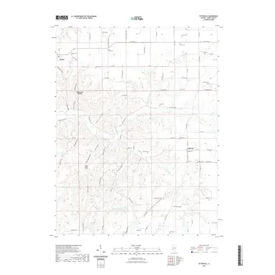
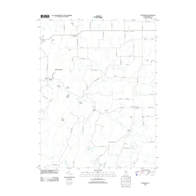 2012 Otterville2012 Print · USGSCovers Fieldon, including Otterville, Democrat Spring, and other nearby areas
 - 2012 Map of Nutwood, 2012 Print
 2012 Nutwood2012 Print · USGSCovers Fieldon, including Rosedale, Reardon, and other nearby areas
 - 2015 Map of Nutwood, 2015 Print
 2015 Nutwood2015 Print · USGSCovers Fieldon, including Rosedale, Reardon, and other nearby areas
 - 2015 Map of Otterville, 2015 Print
 2015 Otterville2015 Print · USGSCovers Fieldon, including Otterville, Democrat Spring, and other nearby areas
 - 2018 Map of Otterville, 2018 Print
 2018 Otterville2018 Print · USGSCovers Fieldon, including Otterville, Democrat Spring, and other nearby areas
 - 2018 Map of Nutwood, 2018 Print
 2018 Nutwood2018 Print · USGSCovers Fieldon, including Rosedale, Reardon, and other nearby areas
 - 2021 Map of Nutwood, 2021 Print
 2021 Nutwood2021 Print · USGSCovers Fieldon, including Rosedale, Reardon, and other nearby areas
 - 2021 Map of Otterville, 2021 Print
 2021 Otterville2021 Print · USGSCovers Fieldon, including Otterville, Democrat Spring, and other nearby areas
 - 2024 Map of Nutwood, 2024 Print
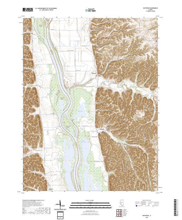 2024 Nutwood2024 Print · USGSNear the confluence of Jersey and Calhoun counties in the 2020s, the river landscape remains dominated by expansive wetlands and high ridges. Genealogists and hikers can locate Smith Cem, the village of Nutwood, and the many backwaters of the Two Rivers National Wildlife Refuge.
 - 2024 Map of Otterville, 2024 Print
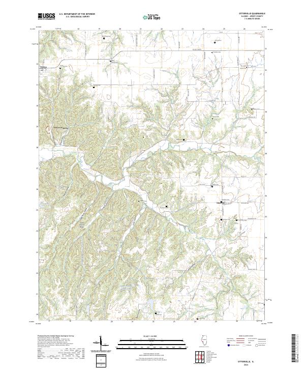 2024 Otterville2024 Print · USGSJersey County's rural landscape is captured here in the contemporary era, showing a region defined by complex ridges and numerous family burial grounds. Researchers can trace local heritage through Saint Marys Cem, Hamilton Cem, and distinctive landmarks like Democrat Spring.
End of results
Showing maps 1-20 of 20
Top cities near Fieldon
- Godfrey historical maps
- Jerseyville historical maps
- Carrollton historical maps
- Saint Paul historical maps
- Hardin historical maps
- West Alton historical maps
See more
Frequently asked questions
- What are the different types of historical maps available for Fieldon?
- What is the oldest map of Fieldon?
- Where can I purchase historical maps of Fieldon for my home or office?
- Where can I download high-res historical maps of Fieldon?
- Are there historical topographic maps available for Fieldon?
- Is there historical aerial imagery available for Fieldon?
- Where are historical maps of Fieldon sourced from?