2020s Maps of Jo Daviess County, Illinois
Explore 38 historic maps of Jo Daviess County from the 2020s. These maps offer a rare glimpse into what life looked like during the 2020s — showing old roads, neighborhoods, homes, and landmarks that have changed or disappeared over time.
Whether you're researching your family's past, planning a metal detecting trip, or studying how Jo Daviess County's landscape evolved across the 2020s, these high-resolution maps are a powerful tool for exploring the history of this region.
- Focus on a specific era: All maps on this page are from the 2020s, giving you a focused view of this time period.
- See what’s changed: Compare century-old streets, trails, and buildings to today's modern landscape using overlays and satellite layers.
- Research with precision: Use these maps for genealogy, historical research, land use analysis, or educational projects.
- View, download, or print: Maps are fully viewable online in high resolution, and can be downloaded or printed for your own records.
Start exploring Jo Daviess County's history through authentic maps from the 2020s. This is your window into the past.
Jo Daviess County, IL maps
(38)- 2021 Map of Blackhawk, 2021 Print
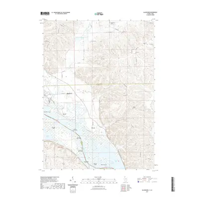 2021 Blackhawk2021 Print · USGSCovers Jo Daviess County, including Derinda Township, Hanover Township, and other nearby areas
 - 2021 Map of Pleasant Valley, 2021 Print
 2021 Pleasant Valley2021 Print · USGSCovers Jo Daviess County, including Pleasant Valley, Derinda Township, and other nearby areas
 - 2021 Map of Elizabeth NE, 2021 Print
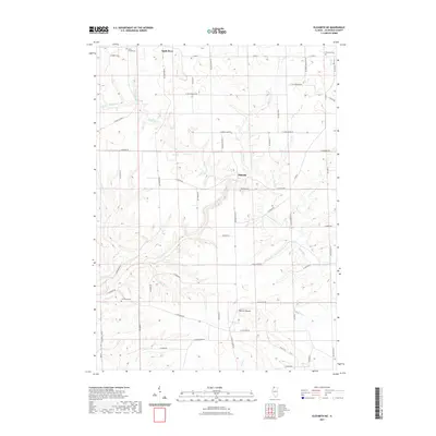 2021 Elizabeth NE2021 Print · USGSCovers Jo Daviess County, including Warren, Apple River, and other nearby areas
 - 2021 Map of Hanover, 2021 Print
 2021 Hanover2021 Print · USGSCovers Jo Daviess County, including Hanover, Rice Township, and other nearby areas
 - 2021 Map of Scales Mound East, 2021 Print
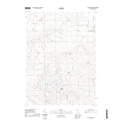
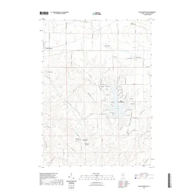 2021 Scales Mound East2021 Print · USGSCovers Jo Daviess County, including Scales Mound, Scales Mound Township, and other nearby areas
 - 2021 Map of Menominee, 2021 Print
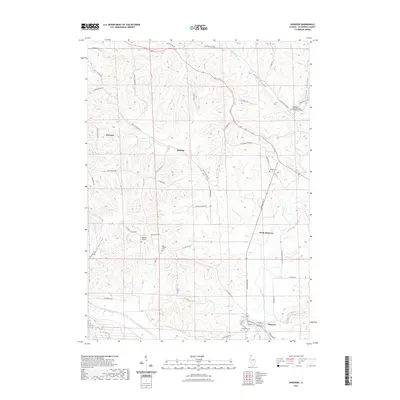
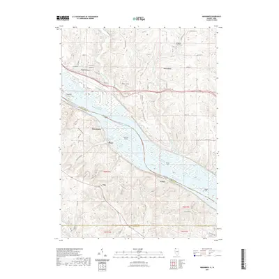 2021 Menominee2021 Print · USGSCovers Jo Daviess County, including East Dubuque, Menominee, and other nearby areas
 - 2021 Map of Elizabeth, 2021 Print
 2021 Elizabeth2021 Print · USGSCovers Jo Daviess County, including Hanover, Elizabeth, and other nearby areas
 - 2021 Map of Galena, 2021 Print
 2021 Galena2021 Print · USGSCovers Jo Daviess County, including Galena, Bremen, and other nearby areas
 - 2021 Map of Scales Mound West, 2021 Print
 2021 Scales Mound West2021 Print · USGSCovers Jo Daviess County, including Guilford, Scales Mound, and other nearby areas
 - 2021 Map of Kent, 2021 Print
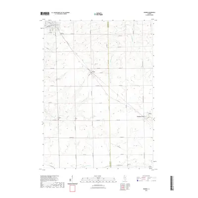
 2021 Kent2021 Print · USGSCovers Jo Daviess County, including Stockton, Kent, and other nearby areas
 - 2021 Map of Stockton, 2021 Print
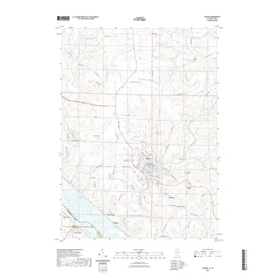
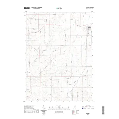 2021 Stockton2021 Print · USGSCovers Jo Daviess County, including Stockton, Stockton Township, and other nearby areas
 - 2021 Map of Warren, 2021 Print
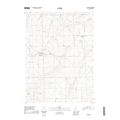
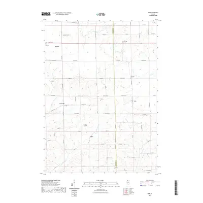
 2021 Warren2021 Print · USGSCovers Jo Daviess County, including Warren, Nora, and other nearby areas
 - 2021 Map of Apple River, 2021 Print
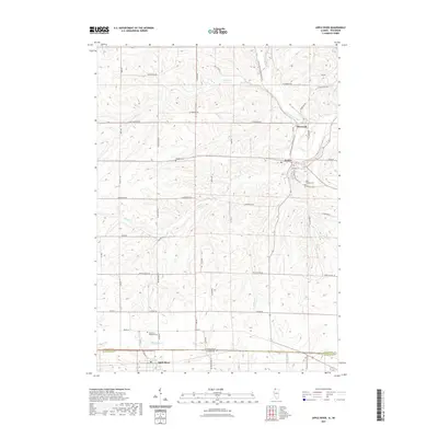 2021 Apple River2021 Print · USGSCovers Jo Daviess County, including Warren, Wiota, and other nearby areas
 - 2021 Map of Loran, 2021 Print
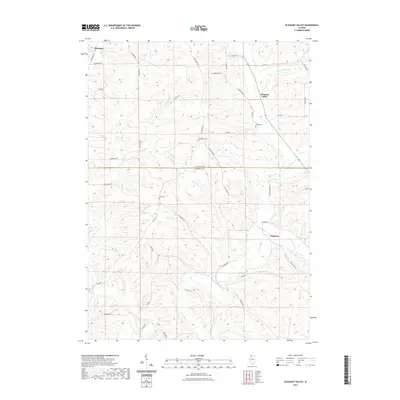
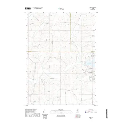 2021 Loran2021 Print · USGSCovers Jo Daviess County, including Loran, Pleasant Valley Township, and other nearby areas
 - 2022 Map of South Wayne, 2022 Print
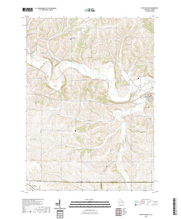 2022 South Wayne2022 Print · USGSThe Wisconsin and Illinois borderlands appear here as a patchwork of river valleys and rural homesteads. Trace family history at the West Wiota Lutheran Cem or follow the Cheese Country Recreation Trl through South Wayne.
 - 2022 Map of New Diggings, 2022 Print
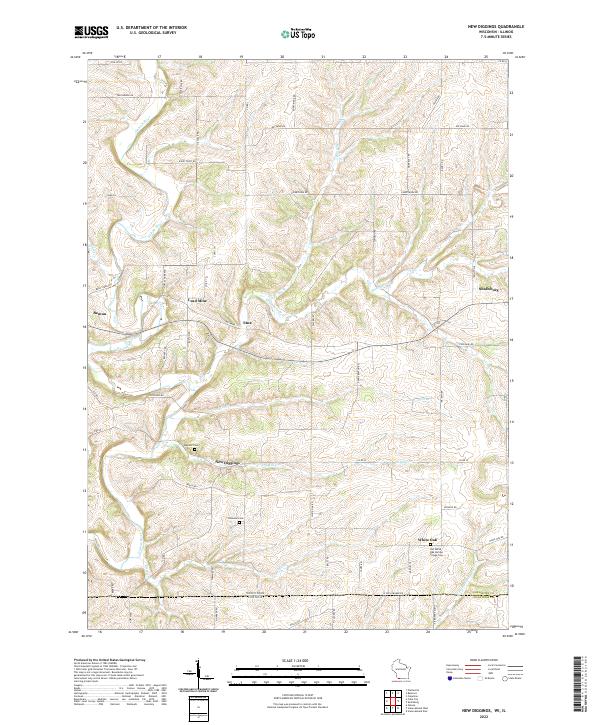 2022 New Diggings2022 Print · USGSThe driftless hills of Lafayette County appear in this survey of a historic lead-mining district. Genealogists can trace family roots at Old White Oak Springs Village Cem and explore old settlements like New Diggings and Lead Mine.
 - 2022 Map of Shullsburg, 2022 Print
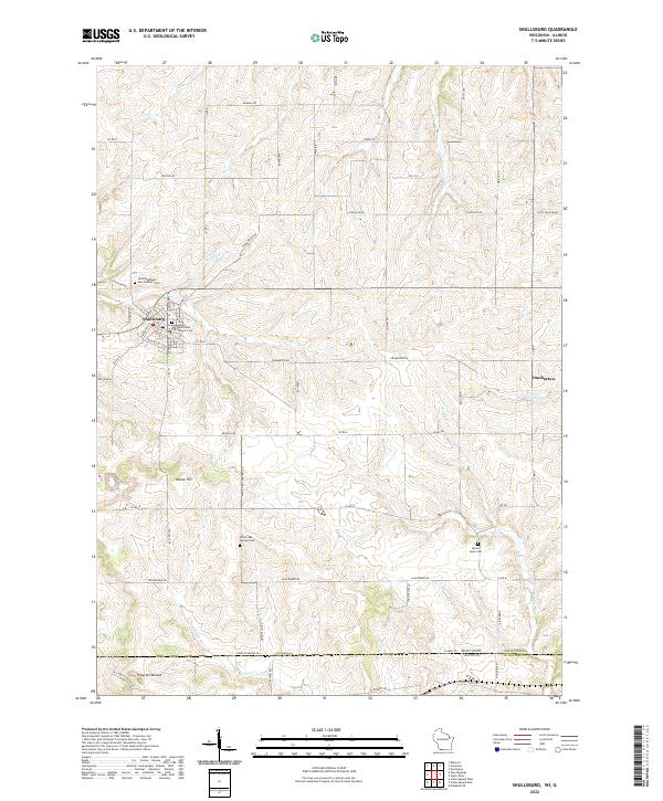 2022 Shullsburg2022 Print · USGSSouthwestern Wisconsin’s lead-mining heritage country is captured here in the contemporary era. Researchers can trace family history through sites like Saint Matthews Old Catholic Cem or explore the rural landscape around Dunbarton and Charles Mound.
 - 2022 Map of Kieler, 2022 Print
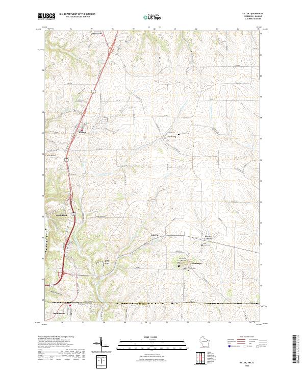 2022 Kieler2022 Print · USGSSouthwestern Wisconsin and the Illinois borderlands appear in this modern survey of the driftless hills. Genealogists can trace family landmarks like Sinsinawa Mound, Jamestown Cem, and the rural settlements of Kieler and Fair Play.
 - 2022 Map of Cuba City, 2022 Print
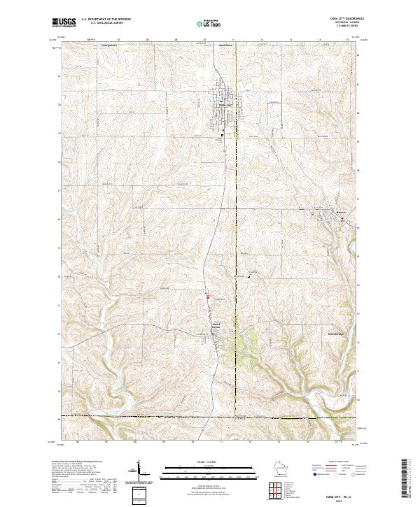 2022 Cuba City2022 Print · USGSIn the driftless borderlands of Wisconsin and Illinois, this modern survey captures the enduring settlement patterns of a historic mining region. Genealogists and researchers can trace family landmarks like Mount Pleasant Cem and old crossroads hamlets like Strawbridge and Saint Rose.
 - 2022 Map of Dubuque South, 2022 Print
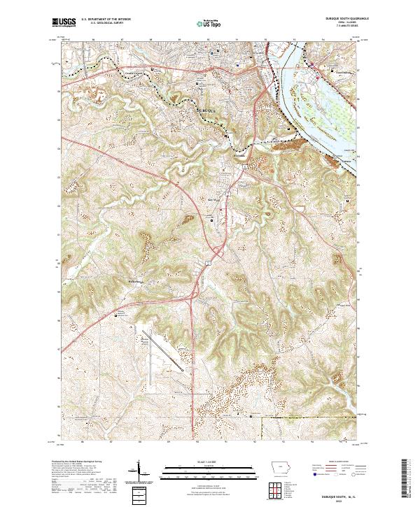 2022 Dubuque South2022 Print · USGSThe bluffs and riverfront of Dubuque come into focus during this modern era, tracing the city's expansion south toward the Jackson County line. Genealogists and local researchers can locate numerous burial sites like Mount Olivet Cem and landmarks such as the University of Dubuque.
 - 2022 Map of Springbrook, 2022 Print
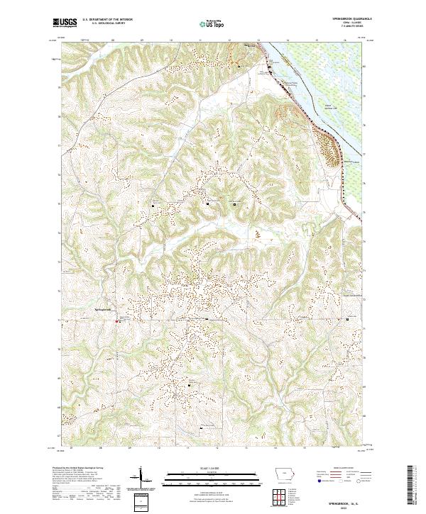 2022 Springbrook2022 Print · USGSJackson County, Iowa, and the Mississippi River are shown here in modern detail as the river winds past the bluffs. Genealogists can trace numerous family burial sites like Old Springbrook Cem and Dyas Cem alongside the historic Bellevue town site.
 - 2022 Map of Green Island, 2022 Print
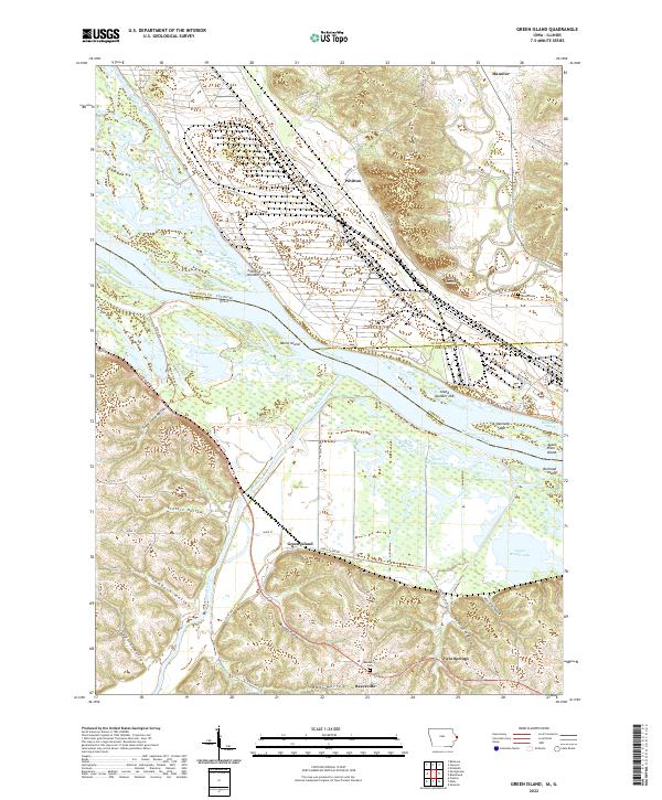 2022 Green Island2022 Print · USGSThe confluence of the Maquoketa and Mississippi Rivers comes into focus in this modern survey of the Iowa-Illinois borderlands. Researchers can locate small communities like Green Island and Whitton alongside local landmarks such as Reeceville Cem and Lost Mound.
 - 2022 Map of Bellevue, 2022 Print
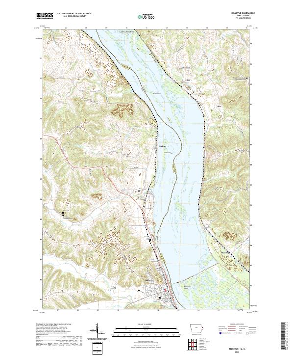 2022 Bellevue2022 Print · USGSThe Mississippi River divides Iowa and Illinois in this contemporary survey of the river bluffs and bottomlands. Genealogists can trace family locations through numerous rural burial sites like Saint Josephs Cem, Potter Cem, and the North Spruce Creek Church Cem.
 - 2022 Map of Dubuque North, 2022 Print
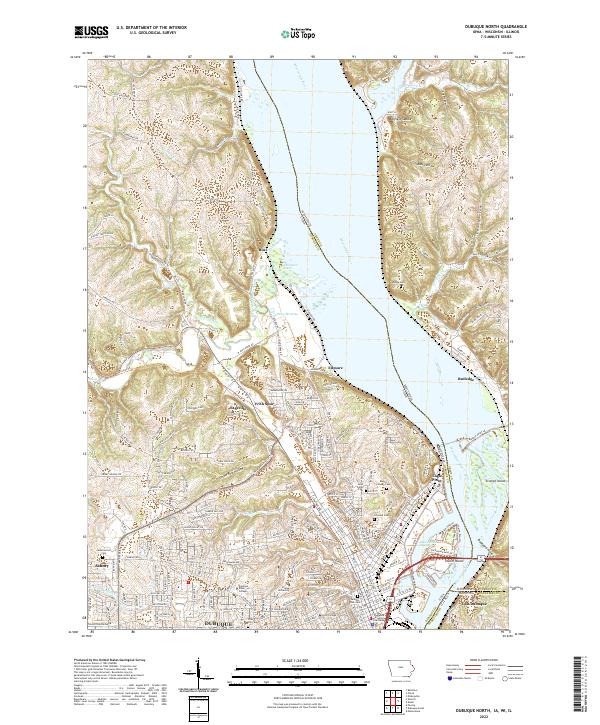 2022 Dubuque North2022 Print · USGSThe tri-state border region of Iowa, Wisconsin, and Illinois comes into sharp focus during the early 2020s. Researchers can trace the civic and educational heart of Dubuque at the Dubuque County Courthouse or explore the rugged topography of Bobs Hollow and Peru Bottoms.
 - 2024 Map of Elizabeth, 2024 Print
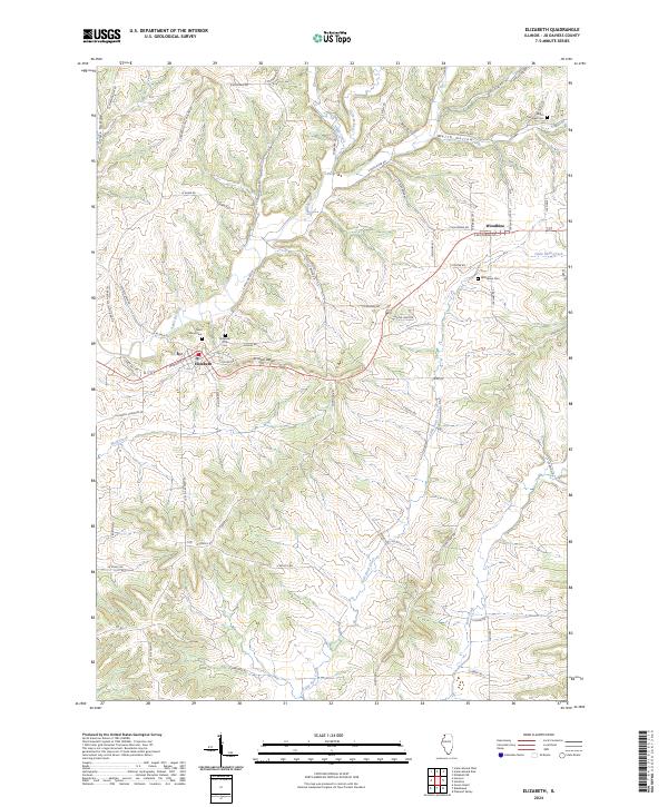 2024 Elizabeth2024 Print · USGSThe village of Elizabeth and the rural community of Woodbine are captured here in the heart of Jo Daviess County. Researchers can locate family sites at Saint Marys Cem or Woodbine Cem and trace the winding course of the Apple River.
Showing maps 1-25 of 38
Top cities of Jo Daviess County
Frequently asked questions
- What are the different types of historical maps available for Jo Daviess County?
- What is the oldest map of Jo Daviess County?
- Where can I purchase historical maps of Jo Daviess County for my home or office?
- Where can I download high-res historical maps of Jo Daviess County?
- Are there historical topographic maps available for Jo Daviess County?
- Is there historical aerial imagery available for Jo Daviess County?
- Where are historical maps of Jo Daviess County sourced from?