Old Maps of Frielings, Illinois for Academic Research
Study the evolution of Frielings with 12 high-resolution historic maps. Whether you're teaching, researching, or modeling changes in land use, these maps provide essential visual documentation of urban, environmental, and geographic change.
- Analyze long-term change: Track patterns in development, transportation, and natural features.
- Ideal for environmental or urban studies: Support academic projects with primary historical map data.
- Use in the classroom or lab: Educators and researchers rely on these maps to bring historical context to life.
These maps are a powerful tool for teaching, research, and visualizing how Frielings has changed over the decades.
Frielings, IL maps
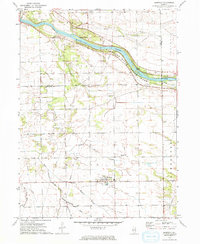
(12)- 1923 Map of Herscher, 1959 Print
 1923 Herscher1959 Print · USGSKankakee and Will Counties in the early twenties show a landscape defined by busy rail junctions and a dense network of rural school districts. Genealogists and researchers can locate family-named landmarks and infrastructure like the Lehigh Stone Co Quarry, Appel Siding, and Essex Center School.2 unique versions available
 - 1925 Map of Herscher
 1925 Herscher1925 Print · USGSKankakee and Grundy counties appear here during the 1920s as a thriving corridor of railroads and rural schools. Genealogists can trace family names through landmarks like Yates School, Clarke City, and the Lehigh Stone Co Quarry.2 unique versions available
 - 1958 Map of Aurora, 1969 Print
 1958 Aurora1969 Print · USGSNorthern Illinois in the late fifties shows a landscape of powerful river industry and expanding transport corridors. Genealogists and historians can trace the development of Aurora and Joliet or locate sites like the Elwood Ordnance Plant and Starved Rock.3 unique versions available
 - 1961 Map of Aurora
 1961 Aurora1961 Print · USGSNorthern Illinois at the height of the post-war era reveals a landscape of massive industrial works and thriving river towns. Genealogists and historians can trace the paths of the Lincoln Highway or locate long-standing landmarks like the Green River Ordnance Plant and Starved Rock State Park.
 - 1973 Map of Bonfield, 1975 Print
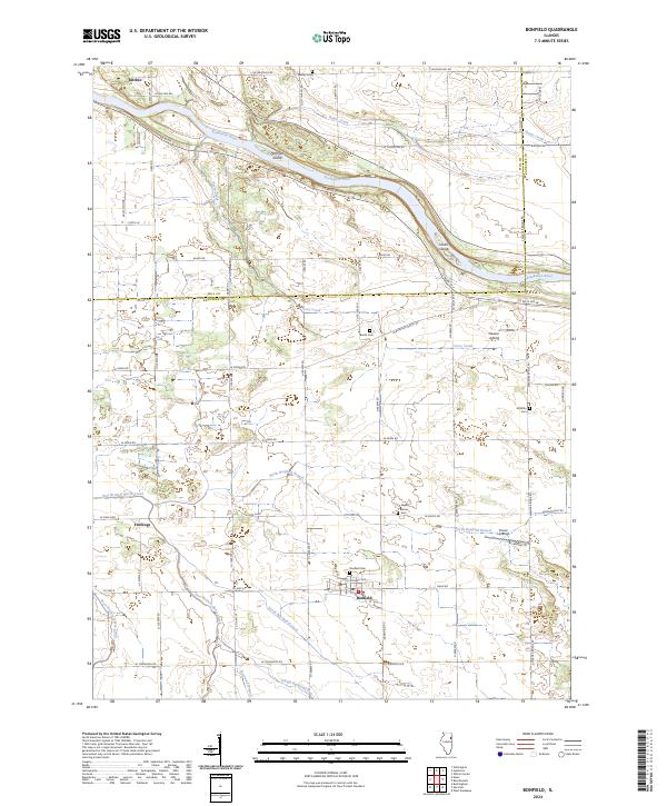
 1973 Bonfield1975 Print · USGSKankakee County agriculture and river life are captured here in the early 1970s. Genealogists can locate family sites at Wesley Cem and Shreffler Cem or trace the early footprint of Bonfield and Frielings.
 - 1985 Map of Ottawa
 1985 Ottawa1985 Print · USGSThe Illinois River valley in the mid-1980s shows a landscape balancing river commerce with sprawling energy and mining operations. Researchers can trace the layout of mining towns like Coal City or find family landmarks such as Oakwood Memorial Cem and Smiths Mound.
 - 1991 Map of Ottawa
 1991 Ottawa1991 Print · USGSNorth-central Illinois in the early nineties remains a vital corridor of river commerce and heavy rail. Genealogists and historians can trace the legacy of industrial mining near Morris or explore the river-bluff geography of Starved Rock State Park and Buffalo Rock.
 - 2012 Map of Bonfield, 2012 Print
 2012 Bonfield2012 Print · USGSCovers Frielings, including Bonfield, Kankakee County, and other nearby areas
 - 2015 Map of Bonfield, 2015 Print
 2015 Bonfield2015 Print · USGSCovers Frielings, including Bonfield, Kankakee County, and other nearby areas
 - 2018 Map of Bonfield, 2018 Print
 2018 Bonfield2018 Print · USGSCovers Frielings, including Bonfield, Kankakee County, and other nearby areas
 - 2021 Map of Bonfield, 2021 Print
 2021 Bonfield2021 Print · USGSCovers Frielings, including Bonfield, Kankakee County, and other nearby areas
 - 2024 Map of Bonfield, 2024 Print
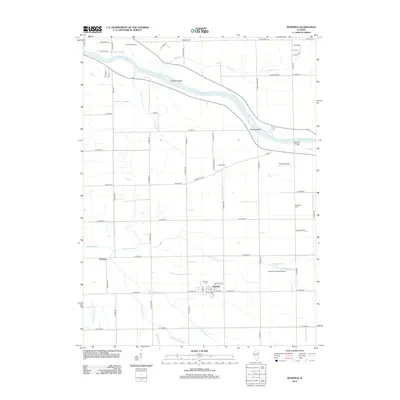
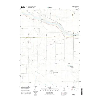
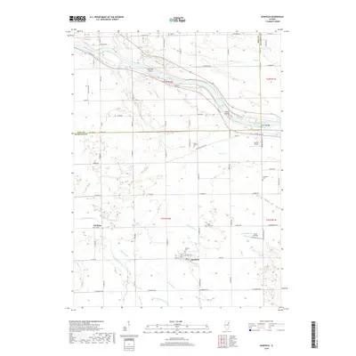
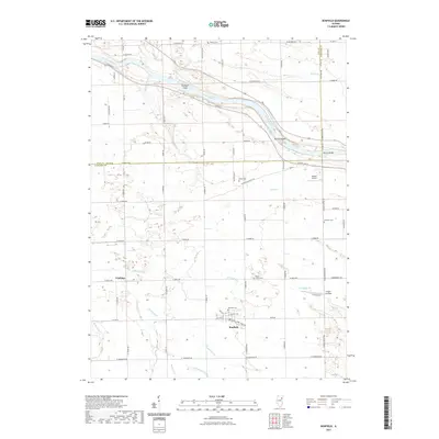
 2024 Bonfield2024 Print · USGSThe rural prairie landscape of Kankakee and Will counties is shown here in the 2020s, dominated by the winding Kankakee River. Researchers can trace local lineage through several sites like Bonfield Cem and Shreffler Cem or locate the small settlement of Frielings.
End of results
Showing maps 1-12 of 12
Top cities near Frielings
- Kankakee historical maps
- Bourbonnais historical maps
- Channahon historical maps
- Braidwood historical maps
- Wilmington historical maps
- Elwood historical maps
See more
Frequently asked questions
- What are the different types of historical maps available for Frielings?
- What is the oldest map of Frielings?
- Where can I purchase historical maps of Frielings for my home or office?
- Where can I download high-res historical maps of Frielings?
- Are there historical topographic maps available for Frielings?
- Is there historical aerial imagery available for Frielings?
- Where are historical maps of Frielings sourced from?