Old Maps of Eugene, Illinois for Metal Detecting
Plan your next treasure hunt with 14 historic maps of Eugene. Find old homesites, ghost towns, trails, and gathering spots that may be lost to time — perfect for identifying promising metal detecting locations.
- Locate forgotten sites: Uncover places like long-lost settlements, abandoned rail lines, or gathering spots.
- Plan better hunts: Use map overlays combined with LiDAR or satellite views to narrow in on historically rich areas.
- Made for detectorists: Thousands of hobbyists use these maps to discover relics, coins, and hidden history.
Use these historic maps to boost your research and find new opportunities beneath the surface of Eugene.
Eugene, IL maps
(14)- 1941 Map of Maquon, 1961 Print
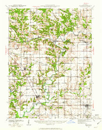 1941 Maquon1961 Print · USGSKnox County's river valleys and rail corridors are captured here in the early 1940s as the local coal and agricultural economies thrived. Researchers can locate dozens of country schools and family landmarks, from Van Gilder Cem to the Knoxville Mine and Union Grove Ch.2 unique versions available
 - 1943 Map of Maquon
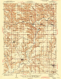 1943 Maquon1943 Print · USGSKnox County's river valleys and coal-rich hills are captured in the early 1940s, showing a landscape defined by the Spoon River. Genealogists and historians can trace numerous rural cemeteries and country schools, from Van Gilder Cem to Center Prairie Sch.2 unique versions available
 - 1958 Map of Burlington, 1968 Print
 1958 Burlington1968 Print · USGSThe tri-state river country of Iowa, Illinois, and Missouri is captured here in the mid-fifties, dominated by the Mississippi River and major rail lines. Genealogists and historians can trace the development of river towns like Keokuk or locate the sprawling Iowa Army Ammunition Plant.4 unique versions available
 - 1961 Map of Burlington
 1961 Burlington1961 Print · USGSThe tri-state borderlands along the Mississippi River are captured here during the late fifties and early sixties, showing the vital river-and-rail economy of Iowa, Illinois, and Missouri. Genealogists and historians can trace the development of major hubs like Galesburg and Macomb alongside landmark sites such as the Iowa Ordnance Plant and the historic river town of Nauvoo.
 - 1963 Map of Burlington
 1963 Burlington1963 Print · USGSThe tri-state river country of the Mississippi and Illinois valleys comes alive in this mid-century survey. Genealogists and historians can trace the industrial and academic growth of the region, from the Iowa Ordnance Plant to campuses like Knox College and Western Illinois University.
 - 1982 Map of Williamsfield, 1983 Print
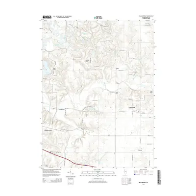
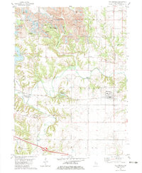 1982 Williamsfield1983 Print · USGSIn the early 1980s, the Knox County landscape near Williamsfield showed the heavy footprint of industrial Strip Mines alongside traditional river life. Trace the Atchison Topeka and Santa Fe line as it passes Dahinda or locate family plots at Trenton Cem and Parker Cem.
 - 1985 Map of Galesburg, 1986 Print
 1985 Galesburg1986 Print · USGSWestern Illinois in the mid-eighties was a landscape of riverfront forests and industrial rail hubs. Genealogists and historians can trace the growth of Galesburg and Monmouth alongside rural landmarks like Stronghurst and the coal operations of the Strip Mine near Canton.2 unique versions available
 - 1989 Map of Galesburg
 1989 Galesburg1989 Print · USGSWestern Illinois in the late eighties reveals a landscape of industrial rail hubs and riverfront timberland. Genealogists and historians can trace the routes of the Atchison Topeka and Santa Fe RR through small towns like Stronghurst, London Mills, and Middle Grove (Middlepoint).
 - 1990 Map of Burlington
 1990 Burlington1990 Print · USGSThe tri-state confluence of Iowa, Illinois, and Missouri is mapped here at the end of the twentieth century. Genealogists and historians can trace the riverfront heritage of Burlington, Keokuk, and Fort Madison, or locate sites like the Battle of Athens State Historic Site.2 unique versions available
 - 2012 Map of Williamsfield, 2012 Print
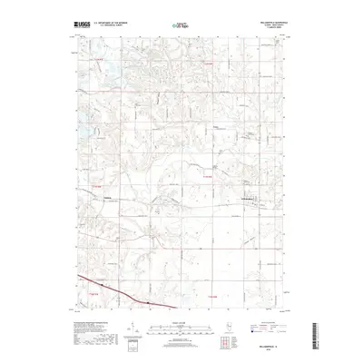
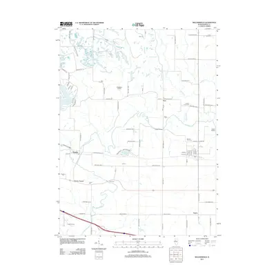 2012 Williamsfield2012 Print · USGSCovers Eugene, including Williamsfield, Dahinda, and other nearby areas
 - 2015 Map of Williamsfield, 2015 Print
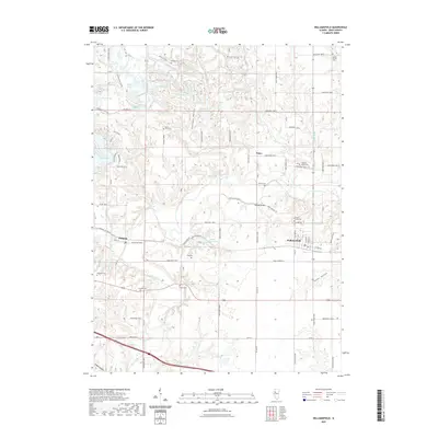
 2015 Williamsfield2015 Print · USGSCovers Eugene, including Williamsfield, Dahinda, and other nearby areas
 - 2018 Map of Williamsfield, 2018 Print
 2018 Williamsfield2018 Print · USGSCovers Eugene, including Williamsfield, Dahinda, and other nearby areas
 - 2021 Map of Williamsfield, 2021 Print
 2021 Williamsfield2021 Print · USGSCovers Eugene, including Williamsfield, Dahinda, and other nearby areas
 - 2024 Map of Williamsfield, 2024 Print
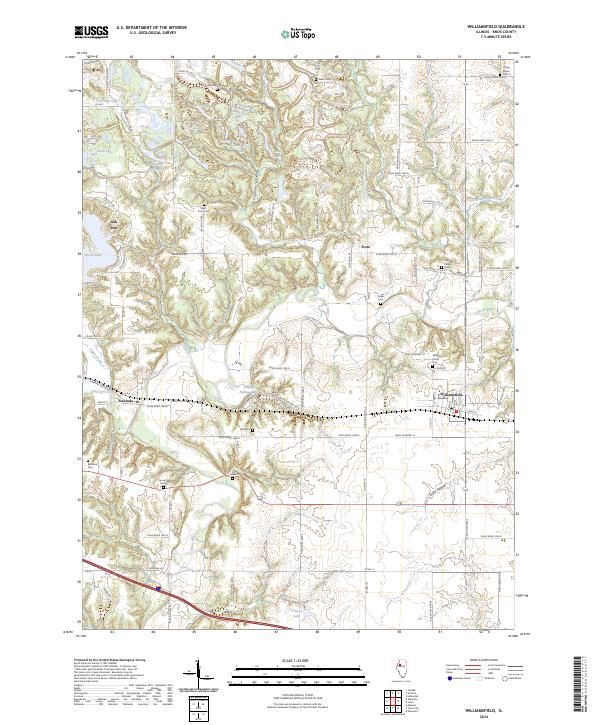 2024 Williamsfield2024 Print · USGSKnox County settlement and the Spoon River valley are captured in this recent survey. Genealogists can locate family landmarks like the Williams Family Cem and Parker Cem, while following the BNSF Railway corridor.
End of results
Showing maps 1-14 of 14
Top cities near Eugene
- Farmington historical maps
- Elmwood historical maps
- Toulon historical maps
- Trivoli historical maps
- Hanna City historical maps
- Brimfield historical maps
See more
Frequently asked questions
- What are the different types of historical maps available for Eugene?
- What is the oldest map of Eugene?
- Where can I purchase historical maps of Eugene for my home or office?
- Where can I download high-res historical maps of Eugene?
- Are there historical topographic maps available for Eugene?
- Is there historical aerial imagery available for Eugene?
- Where are historical maps of Eugene sourced from?