Old Maps of Earl Township, Illinois for Metal Detecting
Plan your next treasure hunt with 28 historic maps of Earl Township. Find old homesites, ghost towns, trails, and gathering spots that may be lost to time — perfect for identifying promising metal detecting locations.
- Locate forgotten sites: Uncover places like long-lost settlements, abandoned rail lines, or gathering spots.
- Plan better hunts: Use map overlays combined with LiDAR or satellite views to narrow in on historically rich areas.
- Made for detectorists: Thousands of hobbyists use these maps to discover relics, coins, and hidden history.
Use these historic maps to boost your research and find new opportunities beneath the surface of Earl Township.
Earl Township, IL maps
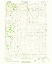
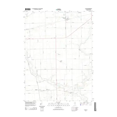
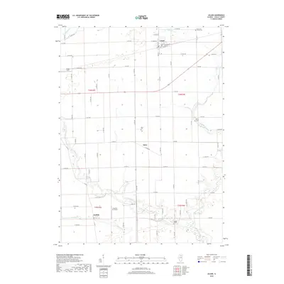
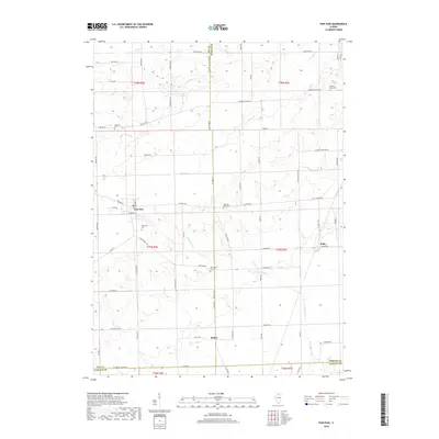
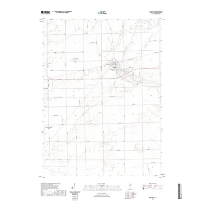
(28)- 1951 Map of Earlville, 1952 Print
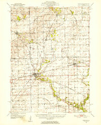 1951 Earlville1952 Print · USGSThe rural crossroads of north-central Illinois come to life in this early fifties survey of the area surrounding Earlville and Leland. Genealogists can trace family ties at the Baker Cem or St Clara Cem and locate vanished schoolhouses like Austin Sch.2 unique versions available
 - 1958 Map of Aurora, 1969 Print
 1958 Aurora1969 Print · USGSNorthern Illinois in the late fifties shows a landscape of powerful river industry and expanding transport corridors. Genealogists and historians can trace the development of Aurora and Joliet or locate sites like the Elwood Ordnance Plant and Starved Rock.3 unique versions available
 - 1961 Map of Aurora
 1961 Aurora1961 Print · USGSNorthern Illinois at the height of the post-war era reveals a landscape of massive industrial works and thriving river towns. Genealogists and historians can trace the paths of the Lincoln Highway or locate long-standing landmarks like the Green River Ordnance Plant and Starved Rock State Park.
 - 1971 Map of Leland, 1972 Print
 1971 Leland1972 Print · USGSLaSalle County, Illinois, is captured in the early seventies as a thriving agricultural landscape defined by its rail links and pioneer roots. Researchers can trace the Old Indian Treaty Boundary and locate local landmarks like St Petrie Ch and Pleasant Hill Cem.2 unique versions available
 - 1971 Map of Paw Paw, 1973 Print
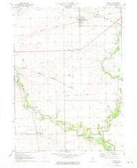
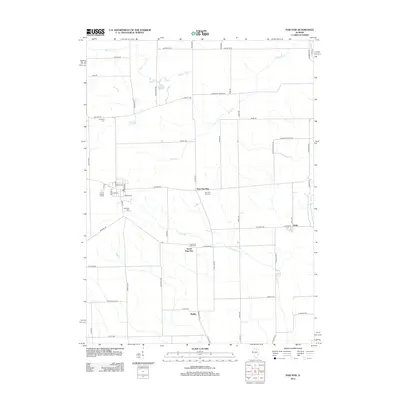
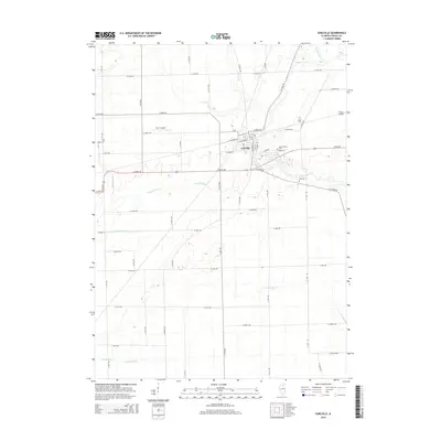
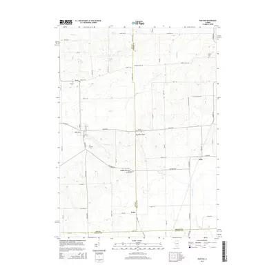
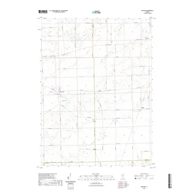
 1971 Paw Paw1973 Print · USGSNorthern Illinois farm country near the intersection of Lee, DeKalb, and La Salle Counties is shown here in the early 1970s. Trace family history at the Wyoming Cemetery, locate the Rogers Brothers Landing Strip, and follow the Chicago Burlington and Northern Railroad through Rollo and Radley.
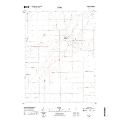
 - 1971 Map of Earlville, 1973 Print
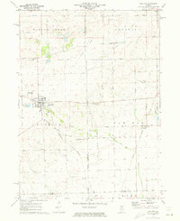
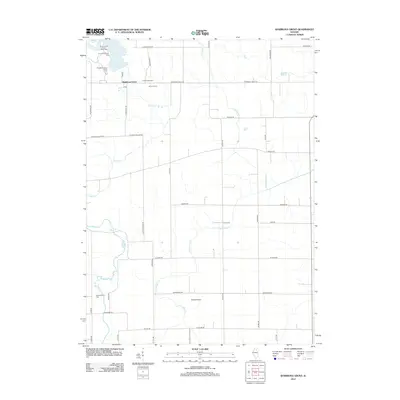
 1971 Earlville1973 Print · USGSIn the early 1970s, the Illinois prairie around Earlville remained a landscape of rail junctions and rural townships. Researchers can trace family history at Tripp Cem or Carter Cem and follow the path of the Old Indian Treaty Boundary.
 - 1971 Map of Shabbona Grove, 1973 Print
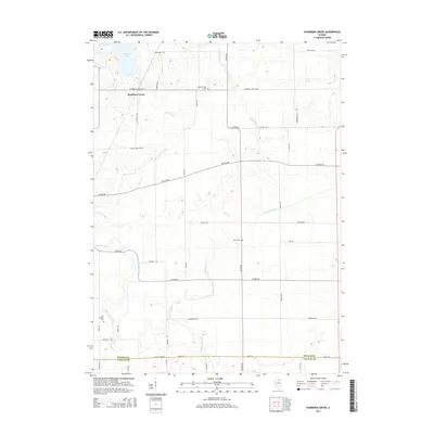
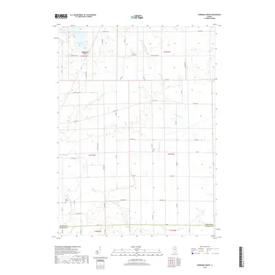
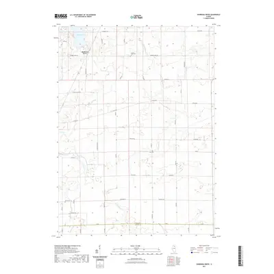
 1971 Shabbona Grove1973 Print · USGSThe borderlands of DeKalb and La Salle counties are captured in the early 1970s as a landscape of productive fields and historic rural outposts. Genealogists can trace the Shabbona Grove area and identify isolated burying grounds like Johnson Grove Cem and Victor Cem.2 unique versions available
 - 1985 Map of Aurora, 1989 Print
 1985 Aurora1989 Print · USGSNortheastern Illinois is captured in the mid-1980s as suburban growth began to bridge the gap between the Fox River cities and the outer prairies. Researchers can trace the development of Naperville and Aurora or locate rural landmarks like Fairview Cem and the Illinois and Michigan Canal.
 - 2012 Map of Leland, 2012 Print
 2012 Leland2012 Print · USGSCovers Earl Township, including Leland, Adams Township, and other nearby areas
 - 2012 Map of Earlville, 2012 Print
 2012 Earlville2012 Print · USGSCovers Earl Township, including Earlville, Meriden Township, and other nearby areas
 - 2012 Map of Paw Paw, 2012 Print
 2012 Paw Paw2012 Print · USGSCovers Earl Township, including Paw Paw, Paw Paw Township, and other nearby areas
 - 2012 Map of Shabbona Grove, 2012 Print
 2012 Shabbona Grove2012 Print · USGSCovers Earl Township, including Paw Paw Township, Shabbona Township, and other nearby areas
 - 2015 Map of Earlville, 2015 Print
 2015 Earlville2015 Print · USGSCovers Earl Township, including Earlville, Meriden Township, and other nearby areas
 - 2015 Map of Shabbona Grove, 2015 Print
 2015 Shabbona Grove2015 Print · USGSCovers Earl Township, including Paw Paw Township, Shabbona Township, and other nearby areas
 - 2015 Map of Paw Paw, 2015 Print
 2015 Paw Paw2015 Print · USGSCovers Earl Township, including Paw Paw, Paw Paw Township, and other nearby areas
 - 2015 Map of Leland, 2015 Print
 2015 Leland2015 Print · USGSCovers Earl Township, including Leland, Adams Township, and other nearby areas
 - 2018 Map of Leland, 2018 Print
 2018 Leland2018 Print · USGSCovers Earl Township, including Leland, Adams Township, and other nearby areas
 - 2018 Map of Earlville, 2018 Print
 2018 Earlville2018 Print · USGSCovers Earl Township, including Earlville, Meriden Township, and other nearby areas
 - 2018 Map of Shabbona Grove, 2018 Print
 2018 Shabbona Grove2018 Print · USGSCovers Earl Township, including Paw Paw Township, Shabbona Township, and other nearby areas
 - 2018 Map of Paw Paw, 2018 Print
 2018 Paw Paw2018 Print · USGSCovers Earl Township, including Paw Paw, Paw Paw Township, and other nearby areas
 - 2021 Map of Leland, 2021 Print
 2021 Leland2021 Print · USGSCovers Earl Township, including Leland, Adams Township, and other nearby areas
 - 2021 Map of Paw Paw, 2021 Print
 2021 Paw Paw2021 Print · USGSCovers Earl Township, including Paw Paw, Paw Paw Township, and other nearby areas
 - 2021 Map of Shabbona Grove, 2021 Print
 2021 Shabbona Grove2021 Print · USGSCovers Earl Township, including Paw Paw Township, Shabbona Township, and other nearby areas
 - 2021 Map of Earlville, 2021 Print
 2021 Earlville2021 Print · USGSCovers Earl Township, including Earlville, Meriden Township, and other nearby areas
 - 2024 Map of Leland, 2024 Print
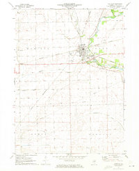
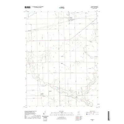
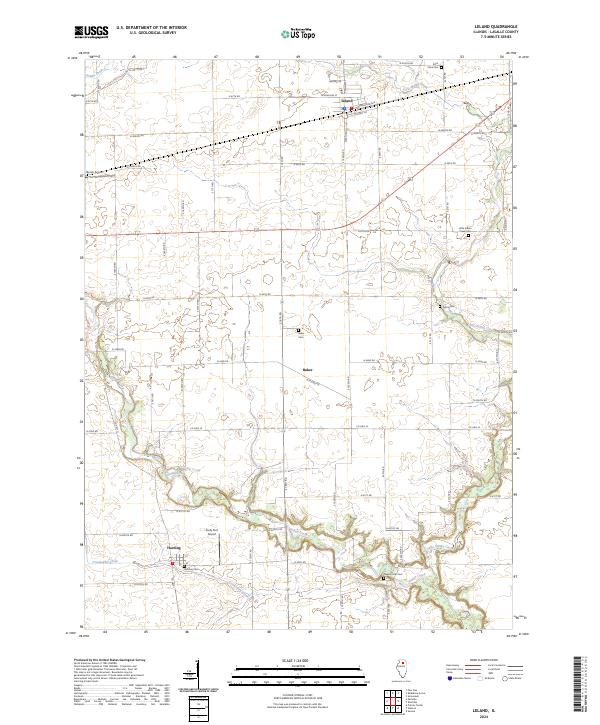 2024 Leland2024 Print · USGSLaSalle County's agricultural heartland is documented here in the early twenty-first century, showing the enduring structure of its prairie settlements. Genealogists and historians can locate numerous family burial sites such as Baker Cem and Pleasant Hill Cem near the banks of Indian Creek.
Showing maps 1-25 of 28
Top cities near Earl Township
- LaSalle historical maps
- Northville historical maps
- Sandwich historical maps
- Mendota historical maps
- Marseilles historical maps
- Sheridan historical maps
See more
Top neighborhoods of Earl Township
Frequently asked questions
- What are the different types of historical maps available for Earl Township?
- What is the oldest map of Earl Township?
- Where can I purchase historical maps of Earl Township for my home or office?
- Where can I download high-res historical maps of Earl Township?
- Are there historical topographic maps available for Earl Township?
- Is there historical aerial imagery available for Earl Township?
- Where are historical maps of Earl Township sourced from?