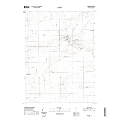
2021 Map of Earlville
USGS Topo · Published 2021About this map
Earlville serves as the central hub of this LaSalle County landscape, where the local street grid converges near Railroad St. The surrounding terrain is defined by a dense network of rural roads, including N 4450th Rd and Co Hwy 12, which partition the agricultural landscape. Waterways like Indian Creek, Sutphens Run, and Crookedleg Cr wind through the township, providing natural drainage for the fertile plains. Several small airfields, such as the B & C Airport and Younglove/Otterbach Airport, suggest a localized aviation history unique to this region of Illinois. Genealogists will find significant value in the distribution of several rural burial grounds, including Saint Theresa Cem and the Precinct Cem, which are tucked away at various intersections outside the main town center.
Find a feature on this map
54 named features on this map. Tap any name to fly to it.
Don’t see what you’re looking for? This feature index may not catch every label — zoom into the map to look around manually.
Map Details
Editions of this 2021 Earlville Map
This is the sole edition of this map. No revisions or reprints were ever made.
Other maps of this area

1892 · Ottawa
USGS Topo · 1:62,500

1893 · Lasalle
USGS Topo · 1:62,500

1911 · La Salle
USGS Topo · 1:62,500

1913 · La Salle
USGS Topo · 1:62,500

1915 · Ottawa
USGS Topo · 1:62,500

1946 · Ottawa
USGS Topo · 1:62,500

1947 · La Salle
USGS Topo · 1:62,500

1951 · Earlville
USGS Topo · 1:62,500

1952 · Mendota
USGS Topo · 1:62,500

1958 · Aurora
USGS Topo · 1:250,000