Old Maps of Lostant, Illinois for Academic Research
Study the evolution of Lostant with 20 high-resolution historic maps. Whether you're teaching, researching, or modeling changes in land use, these maps provide essential visual documentation of urban, environmental, and geographic change.
- Analyze long-term change: Track patterns in development, transportation, and natural features.
- Ideal for environmental or urban studies: Support academic projects with primary historical map data.
- Use in the classroom or lab: Educators and researchers rely on these maps to bring historical context to life.
These maps are a powerful tool for teaching, research, and visualizing how Lostant has changed over the decades.
Lostant, IL maps
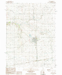
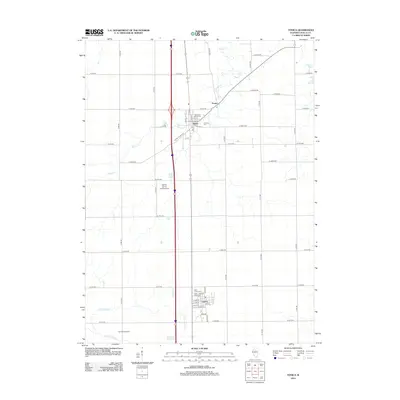
(20)- 1934 Map of Wenona
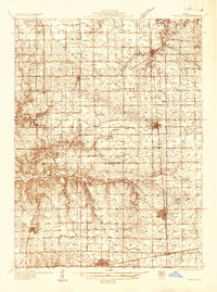 1934 Wenona1934 Print · USGSThe crossroads of Marshall, Putnam, and La Salle counties are captured here in the mid-1930s, revealing a landscape defined by railroad junctions and rural school districts. Genealogists can locate family-named landmarks like Hullinger Sch and Beckwith Sch, or trace the tracks of the Illinois Central through Wenona.2 unique versions available
 - 1939 Map of Wenona
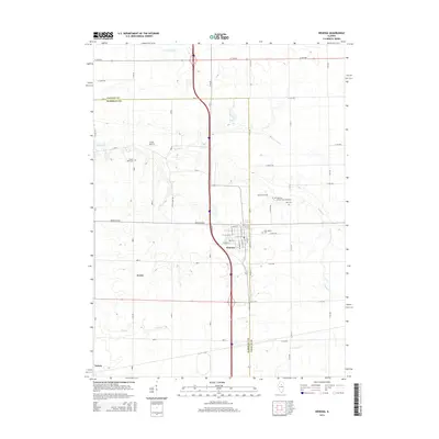
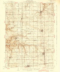 1939 Wenona1939 Print · USGSNorth-central Illinois agricultural and rail hubs are captured here in the late 1930s as steam-era infrastructure reached its peak. Researchers can locate dozens of country schools and trace the tracks of the Illinois Central through Wenona and Tonica.2 unique versions available
 - 1958 Map of Aurora, 1969 Print
 1958 Aurora1969 Print · USGSNorthern Illinois in the late fifties shows a landscape of powerful river industry and expanding transport corridors. Genealogists and historians can trace the development of Aurora and Joliet or locate sites like the Elwood Ordnance Plant and Starved Rock.3 unique versions available
 - 1961 Map of Aurora
 1961 Aurora1961 Print · USGSNorthern Illinois at the height of the post-war era reveals a landscape of massive industrial works and thriving river towns. Genealogists and historians can trace the paths of the Lincoln Highway or locate long-standing landmarks like the Green River Ordnance Plant and Starved Rock State Park.
 - 1982 Map of Wenona, 1983 Print
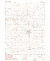 1982 Wenona1983 Print · USGSWenona and the surrounding Marshall County prairies are shown here in the early eighties as a network of rail lines and rural townships. Genealogists can locate family sites like Cherry Point Cem, St Marys Cem, and the industrial Mine Dump.
 - 1983 Map of Tonica, 1984 Print
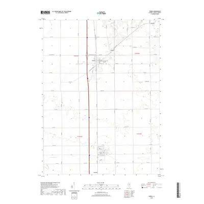
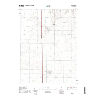
 1983 Tonica1984 Print · USGSLaSalle County agriculture and rail transit are documented here in the early 1980s. Genealogists and local historians can trace the positions of several rural burial grounds like Old Cem and Fairview Cem alongside the Illinois Central Gulf railroad.
 - 1984 Map of Wenona, 1985 Print
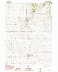
 1984 Wenona1985 Print · USGSWenona served as a busy rail crossroads in the mid-1980s, where two major lines intersected amidst the fields of Marshall and La Salle counties. Genealogists can locate several family landmarks including Cherry Point Cem, Riely Cem, and the notable Mine Dump near the town center.
 - 1985 Map of Kewanee
 1985 Kewanee1985 Print · USGSNorth-central Illinois in the mid-eighties shows a landscape of river-valley industry and prairie transit. Researchers can trace family roots through Evergreen Memory Garden or follow the historic Hennepin Canal past Tiskilwa and Wyanet.2 unique versions available
 - 1996 Map of Wenona, 1997 Print
 1996 Wenona1997 Print · USGSWenona and its surrounding prairie townships are captured here in the mid-nineties as the region balanced its agricultural roots with modern transit. Genealogists can locate several local burial sites including Wenona Cem, Cherry Point Cem, and Bethany Cem alongside landmarks like the Entwistle Landing Strip.
 - 1998 Map of Tonica, 2000 Print
 1998 Tonica2000 Print · USGSLaSalle County farm country is captured here during the late twentieth century as modern interstate travel transformed traditional prairie towns. Genealogists and local historians can trace family plots at St John Cem and Hope Cem or locate rural landmarks like the Janusick Landing Strip.
 - 2012 Map of Wenona, 2012 Print
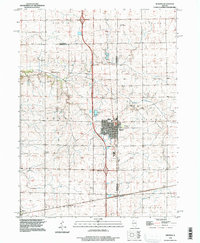
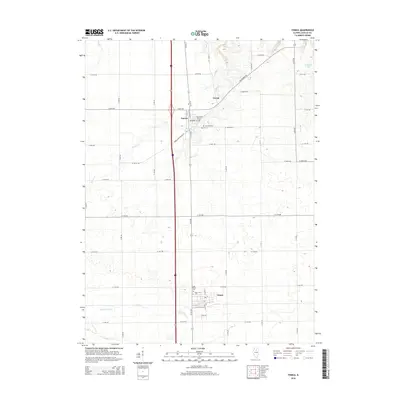
 2012 Wenona2012 Print · USGSCovers Lostant, including Evans, Toluca, and other nearby areas
 - 2012 Map of Tonica, 2012 Print
 2012 Tonica2012 Print · USGSCovers Lostant, including Tonica, Ticona, and other nearby areas
 - 2015 Map of Wenona, 2015 Print
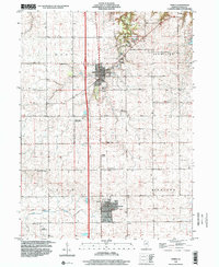
 2015 Wenona2015 Print · USGSCovers Lostant, including Evans, Toluca, and other nearby areas
 - 2015 Map of Tonica, 2015 Print
 2015 Tonica2015 Print · USGSCovers Lostant, including Tonica, Ticona, and other nearby areas
 - 2018 Map of Wenona, 2018 Print
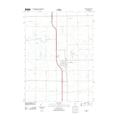
 2018 Wenona2018 Print · USGSCovers Lostant, including Evans, Toluca, and other nearby areas
 - 2018 Map of Tonica, 2018 Print
 2018 Tonica2018 Print · USGSCovers Lostant, including Tonica, Ticona, and other nearby areas
 - 2021 Map of Wenona, 2021 Print
 2021 Wenona2021 Print · USGSCovers Lostant, including Evans, Toluca, and other nearby areas
 - 2021 Map of Tonica, 2021 Print
 2021 Tonica2021 Print · USGSCovers Lostant, including Tonica, Ticona, and other nearby areas
 - 2024 Map of Tonica, 2024 Print
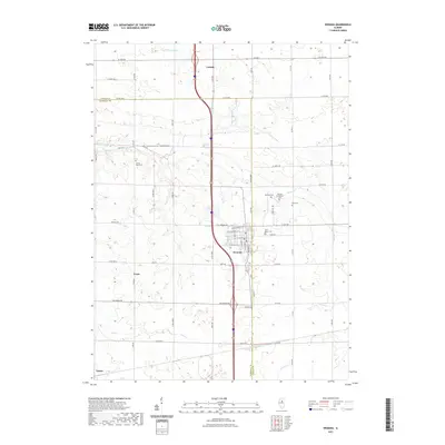
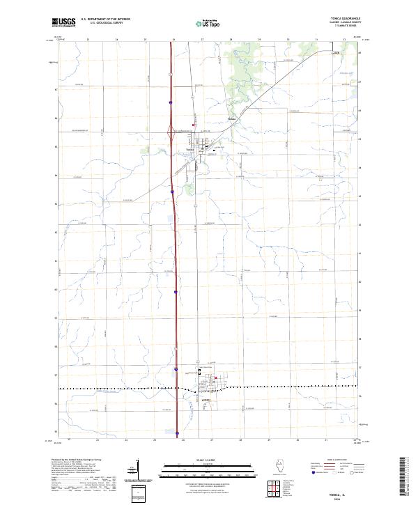 2024 Tonica2024 Print · USGSLaSalle County is captured here in the contemporary era, showing the enduring agricultural layout and quiet rural communities. Genealogists can locate family sites at Old Tonica Cem, Hope Town Cem, and the small settlement of Ticona.
 - 2024 Map of Wenona, 2024 Print
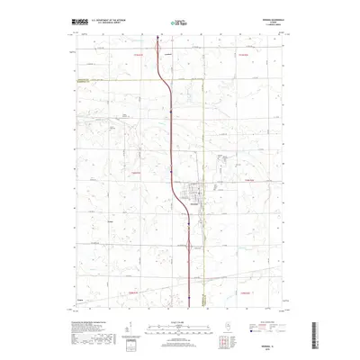
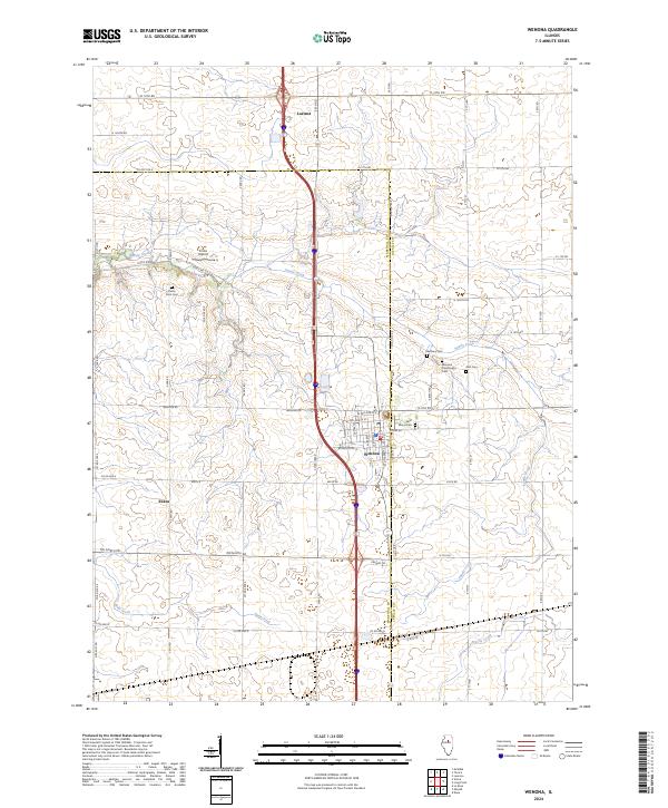 2024 Wenona2024 Print · USGSWenona and Lostant anchor this Illinois prairie landscape during the twenty-first century, where the county line divides the farmland. Genealogists can trace local legacies through Wenona Community Cem, Saint Marys Cem, and Bethany Cem.
End of results
Showing maps 1-20 of 20
Top cities near Lostant
- Streator historical maps
- Peru historical maps
- La Salle historical maps
- LaSalle historical maps
- Spring Valley historical maps
- Oglesby historical maps
See more
Frequently asked questions
- What are the different types of historical maps available for Lostant?
- What is the oldest map of Lostant?
- Where can I purchase historical maps of Lostant for my home or office?
- Where can I download high-res historical maps of Lostant?
- Are there historical topographic maps available for Lostant?
- Is there historical aerial imagery available for Lostant?
- Where are historical maps of Lostant sourced from?