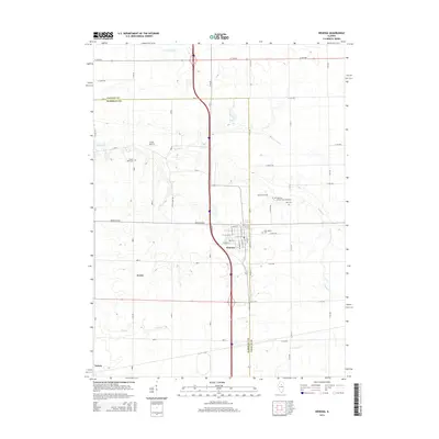
2015 Map of Wenona
USGS Topo · Published 2015About this map
The town of Wenona serves as a central hub where Marshall and LaSalle counties meet, revealing a landscape defined by organized grid roads and agricultural heritage. The community is notably dense with local history sites, including the Wenona Community Cemetery, Saint Mary's Cem, Bethany Cem, and Zion Cem all situated near the eastern edge of the settlement. These landmarks, along with Cherry Point Cem to the northwest, offer significant points of interest for genealogical research in this Illinois prairie region.
Find a feature on this map
39 named features on this map. Tap any name to fly to it.
Don’t see what you’re looking for? This feature index may not catch every label — zoom into the map to look around manually.
Map Details
Editions of this 2015 Wenona Map
This is the sole edition of this map. No revisions or reprints were ever made.
Other maps of this area

1925 · Streator
USGS Topo · 1:62,500

1927 · Streator
USGS Topo · 1:62,500

1934 · Wenona
USGS Topo · 1:48,000

1939 · Wenona
USGS Topo · 1:62,500

1955 · Minonk
USGS Topo · 1:62,500

1958 · Flanagan
USGS Topo · 1:62,500

1958 · Aurora
USGS Topo · 1:250,000

1958 · Peoria
USGS Topo · 1:250,000

1961 · Aurora
USGS Topo · 1:250,000

1961 · Peoria
USGS Topo · 1:250,000