2000s (21st Century) Maps of Bridgeport, Illinois
Explore 10 historic maps of Bridgeport from the 2000s (21st Century). These maps offer a rare glimpse into what life looked like during the 2000s — showing old roads, neighborhoods, homes, and landmarks that have changed or disappeared over time.
Whether you're researching your family's past, planning a metal detecting trip, or studying how Bridgeport's landscape evolved across the 2000s, these high-resolution maps are a powerful tool for exploring the history of this region.
- Focus on a specific era: All maps on this page are from the 2000s, giving you a focused view of this time period.
- See what’s changed: Compare century-old streets, trails, and buildings to today's modern landscape using overlays and satellite layers.
- Research with precision: Use these maps for genealogy, historical research, land use analysis, or educational projects.
- View, download, or print: Maps are fully viewable online in high resolution, and can be downloaded or printed for your own records.
Start exploring Bridgeport's history through authentic maps from the 2000s. This is your window into the past.
Bridgeport, IL maps
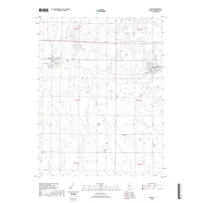
(10)- 2012 Map of Sumner, 2012 Print
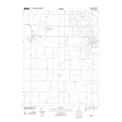 2012 Sumner2012 Print · USGSCovers Bridgeport, including Sumner, Lawrence County, and other nearby areas
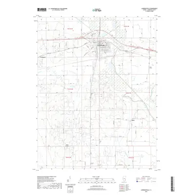
 - 2012 Map of Lawrenceville, 2012 Print
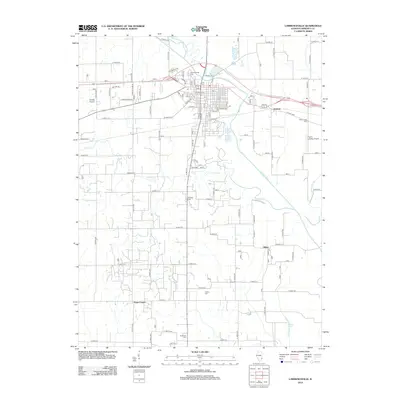 2012 Lawrenceville2012 Print · USGSCovers Bridgeport, including Lawrenceville, Billett, and other nearby areas
 - 2015 Map of Lawrenceville, 2015 Print
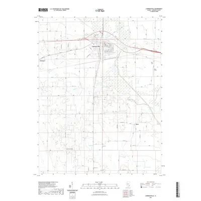
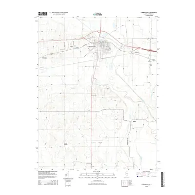 2015 Lawrenceville2015 Print · USGSCovers Bridgeport, including Lawrenceville, Billett, and other nearby areas
 - 2015 Map of Sumner, 2015 Print
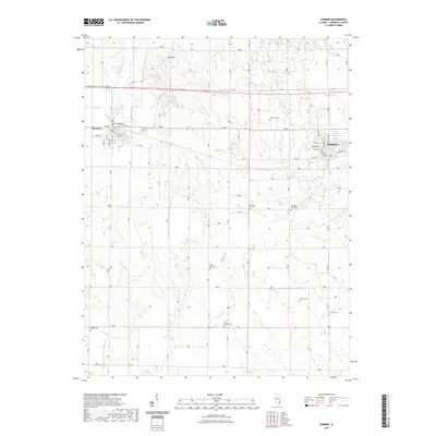
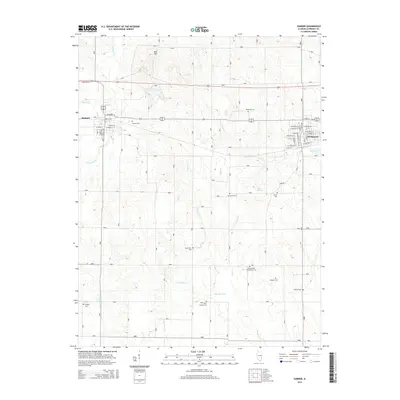 2015 Sumner2015 Print · USGSCovers Bridgeport, including Sumner, Lawrence County, and other nearby areas
 - 2018 Map of Sumner, 2018 Print
 2018 Sumner2018 Print · USGSCovers Bridgeport, including Sumner, Lawrence County, and other nearby areas
 - 2018 Map of Lawrenceville, 2018 Print
 2018 Lawrenceville2018 Print · USGSCovers Bridgeport, including Lawrenceville, Billett, and other nearby areas
 - 2021 Map of Sumner, 2021 Print
 2021 Sumner2021 Print · USGSCovers Bridgeport, including Sumner, Lawrence County, and other nearby areas
 - 2021 Map of Lawrenceville, 2021 Print
 2021 Lawrenceville2021 Print · USGSCovers Bridgeport, including Lawrenceville, Billett, and other nearby areas
 - 2024 Map of Sumner, 2024 Print
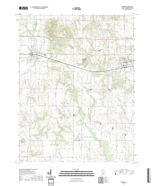 2024 Sumner2024 Print · USGSEastern Lawrence County appears in the early twenty-first century as a land of established small towns and numerous country cemeteries. Researchers can trace local lineage at Bridgeport City Cem, Mount Zion Cem, and Ridgley Cem along the banks of Muddy Creek.
 - 2024 Map of Lawrenceville, 2024 Print
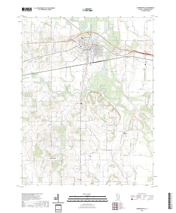 2024 Lawrenceville2024 Print · USGSLawrenceville and the surrounding Illinois farmland are shown here in the 2020s, dominated by the winding course of the Embarras River. Local historians can trace family roots at numerous burial sites like Lawrenceville Cem and Collins Cem, or locate landmarks like Grays Corner.
End of results
Showing maps 1-10 of 10
Top cities near Bridgeport
- Vincennes historical maps
- Lawrenceville historical maps
- Sumner historical maps
- Allendale historical maps
- Flat Rock historical maps
- Hazleton historical maps
See more
Frequently asked questions
- What are the different types of historical maps available for Bridgeport?
- What is the oldest map of Bridgeport?
- Where can I purchase historical maps of Bridgeport for my home or office?
- Where can I download high-res historical maps of Bridgeport?
- Are there historical topographic maps available for Bridgeport?
- Is there historical aerial imagery available for Bridgeport?
- Where are historical maps of Bridgeport sourced from?