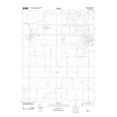
2012 Map of Sumner
USGS Topo · Published 2012About this map
The Lawrence Oil and Gas Field dominates the northern landscape of this Lawrence County area, where extraction infrastructure meets the drainage basins of Muddy Cr and Indian Cr. The land is defined by a dense network of rural roads and a high concentration of burial sites, including the centrally located Sumner Cem and several outlying locations like Hopewell Cem and Shiloh Cem. This distribution suggests a long-settled agricultural community with family and parish ties stretching across the countryside.
Find a feature on this map
90 named features on this map. Tap any name to fly to it.
Don’t see what you’re looking for? This feature index may not catch every label — zoom into the map to look around manually.
Map Details
Editions of this 2012 Sumner Map
This is the sole edition of this map. No revisions or reprints were ever made.
Other maps of this area

1910 · Hardinville
USGS Topo · 1:62,500

1911 · Sumner
USGS Topo · 1:62,500

1913 · Sumner
USGS Topo · 1:62,500

1915 · Vincennes
USGS Topo · 1:62,500

1917 · Birds
USGS Topo · 1:62,500

1942 · Birds
USGS Topo · 1:62,500

1944 · Vincennes
USGS Topo · 1:62,500

1956 · Vincennes
USGS Topo · 1:250,000

1957 · Vincennes
USGS Topo · 1:250,000

1958 · Vincennes
USGS Topo · 1:250,000