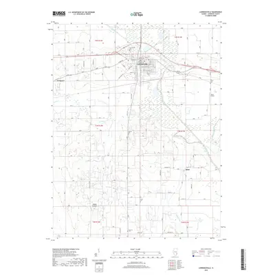
2018 Map of Lawrenceville
USGS Topo · Published 2018About this map
Lawrenceville serves as the focal point of this Lawrence County landscape, situated along the meandering course of the Embarras River. The town's grid is well-defined by streets such as Washington Ave and Jefferson ST, while the surrounding countryside is dotted with small outlying settlements like Billett, Grays Corner, and the riverside location at Piper's Landing. The terrain is shaped by an extensive network of drainage features, including Indian Cr, Big Slough, and Beaver Pond Ditch, reflecting the area's agricultural character and hydrological management.
Find a feature on this map
45 named features on this map. Tap any name to fly to it.
Don’t see what you’re looking for? This feature index may not catch every label — zoom into the map to look around manually.
Map Details
Editions of this 2018 Lawrenceville Map
This is the sole edition of this map. No revisions or reprints were ever made.
Other maps of this area

1910 · Hardinville
USGS Topo · 1:62,500

1911 · Sumner
USGS Topo · 1:62,500

1913 · Sumner
USGS Topo · 1:62,500

1915 · Vincennes
USGS Topo · 1:62,500

1917 · Birds
USGS Topo · 1:62,500

1942 · Birds
USGS Topo · 1:62,500

1944 · Vincennes
USGS Topo · 1:62,500

1956 · Vincennes
USGS Topo · 1:250,000

1957 · Vincennes
USGS Topo · 1:250,000

1958 · Vincennes
USGS Topo · 1:250,000