Old Maps of Lawrence County, Illinois for Hiking & Exploration
Hike through history with 103 historic maps of Lawrence County. Explore old trails, ghost towns, and forgotten backroads — perfect for outdoor adventurers and local explorers.
- Rediscover forgotten places: Map out old mining camps, roads, and footpaths that no longer exist on modern maps.
- Layer with modern tools: Combine with LiDAR or satellite views to plan hikes through historical terrain.
- Made for exploration: Popular among hikers, overlanders, and local history lovers.
Use these maps to find adventure and explore the hidden past of Lawrence County.
Lawrence County, IL maps
(103)- 1910 Map of Hardinville
 1910 Hardinville1910 Print · USGSSoutheastern Illinois at the start of the century reveals a landscape defined by the Embarrass River and early oil exploration. Genealogists can trace family roots through numerous local landmarks like Oil Center, Lucky Ford Ferry, and the Mann School.2 unique versions available
 - 1911 Map of Sumner, 1954 Print
 1911 Sumner1954 Print · USGSSoutheast Illinois at the dawn of the twentieth century was a landscape of bustling rail towns and ubiquitous country schools. Genealogists can locate family-named landmarks and long-lost rural centers like Berryville, the Oil Tanks of Bridgeport, and Frogeye School.
 - 1913 Map of Sumner
 1913 Sumner1913 Print · USGSThe rural landscape of Lawrence and Richland counties is captured here just before the First World War, centered on the BALTIMORE AND OHIO SOUTHWESTERN rail line. Genealogists can locate numerous rural schools like Frogeye School and Buckhorn School or trace the early Oil Tanks near Bridgeport.2 unique versions available
 - 1915 Map of Vincennes
 1915 Vincennes1915 Print · USGSThe Wabash River valley comes to life in this early twentieth-century survey of the Illinois-Indiana border. Genealogists can trace family roots through numerous rural landmarks like St Francisville, the Sand Barrens School, and Adams Corners.5 unique versions available
 - 1917 Map of Birds
 1917 Birds1917 Print · USGSCrawford and Lawrence counties thrive along the Wabash River at the height of the rail era. Genealogists can trace family roots through dozens of local schools like Hazel Dell School and river landings such as Shaws Landing.2 unique versions available
 - 1942 Map of Fritchton
 1942 Fritchton1942 Print · USGSKnox County farmland and the eastern edge of Vincennes are captured in the early 1940s as a hub of rail transit and community institutions. Researchers can locate historic local landmarks like the St Vincent Orphanage, Fritchton Cem, and the Julian Mine.2 unique versions available
 - 1942 Map of Birds, 1958 Print
 1942 Birds1958 Print · USGSThe Wabash River valley comes to life in this mid-century survey of the Illinois-Indiana borderlands. Genealogists can locate family lands near Oil Grove or trace ancestors through rural landmarks like Buncombe School and Brightlight Ferry.
 - 1943 Map of Oaktown
 1943 Oaktown1943 Print · USGSKnox County and the Illinois borderlands come alive in the early 1940s as steam-era railroads connect the farming communities of Oaktown and Bruceville. Local historians can trace family roots through numerous sites like Ocheltree Cem, Price Cem, and the Maria Creek Ch.2 unique versions available
 - 1944 Map of Fritchton
 1944 Fritchton1944 Print · USGSKnox County during the mid-1940s is captured here as a crossroads of major railroads and farming townships just east of the Wabash. Local historians can trace the foundations of the community at the St Vincent Orphanage or follow the legacy of the Julian Mine and Royal Oak Ch.2 unique versions available
 - 1944 Map of Vincennes, 1958 Print
 1944 Vincennes1958 Print · USGSThe Wabash River valley during the mid-1940s reveals a landscape of river-town commerce and rural school districts. Genealogists can trace family roots through numerous sites like St Thomas church, the Bunker Hill School, and the small settlement at Billett.
 - 1956 Map of Vincennes, 1967 Print
 1956 Vincennes1967 Print · USGSSouthern Indiana and the Illinois borderlands are captured here in the mid-fifties, showing the region's dense network of river towns and rail lines. Researchers can trace historic river crossings along the Wabash River or locate landmarks like Wyandotte Cave and Lincoln State Park.4 unique versions available
 - 1957 Map of Vincennes
 1957 Vincennes1957 Print · USGSSouthwest Indiana and the Illinois borderlands come alive in the late 1950s, a period of heavy rail traffic and expanding state forests. Genealogists and historians can trace the riverfronts and rail lines of Vincennes, New Harmony, and the vast Crane Naval Ammunition Depot.
 - 1958 Map of Vincennes
 1958 Vincennes1958 Print · USGSSouthern Indiana and the Illinois borderlands are captured during a mid-century period of heavy rail traffic and military activity. Researchers can trace the sprawling bounds of the Crane Naval Ammunition Depot or locate historic settlements like New Harmony and French Lick.2 unique versions available
 - 1958 Map of Oaktown, 1959 Print
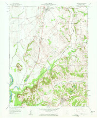 1958 Oaktown1959 Print · USGSKnox County, Indiana, at the end of the fifties reveals a landscape of established rail towns and rural cemeteries. Genealogists and local historians can locate Oaktown and Bruceville, while tracing family sites like Ocheltree Cem and the Maria Creek Ch.2 unique versions available
 - 1958 Map of Fritchton, 1960 Print
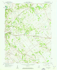 1958 Fritchton1960 Print · USGSKnox County during the late fifties reveals a landscape defined by radiating rail lines and established rural institutions. Researchers can locate family landmarks such as St Vincents Orphanage, the County Farm, and Royal Oak Ch.2 unique versions available
 - 1961 Map of Decker, 1963 Print
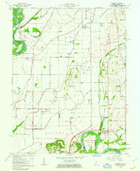 1961 Decker1963 Print · USGSKnox County, Indiana, sits at the confluence of the White and Wabash Rivers during the early sixties. Genealogists can trace family footprints at Chimney Pier Hills Cem and Warth Cem, while local historians can locate small rail stops like Vollmer and Purcell.3 unique versions available
 - 1964 Map of Birds, 1965 Print
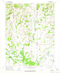 1964 Birds1965 Print · USGSThe rural landscape of Lawrence County in the mid-1960s reveals a network of railroad-aligned settlements and prairie farmsteads. Genealogists can trace family names through landmarks like Morris Cem, Riddleville, and the Brookside Sch along the New York Central line.
 - 1964 Map of Russellville, 1965 Print
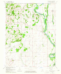 1964 Russellville1965 Print · USGSThe Wabash River valley at the border of Illinois and Indiana shows a landscape of aviation and river-bottom agriculture in the mid-1960s. Researchers can locate the Lawrenceville Vincennes Municipal Airport and rural landmarks like Rising Sun Ch and the Niblack Cem.2 unique versions available
 - 1964 Map of St. Francisville, 1966 Print
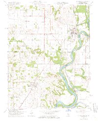 1964 St. Francisville1966 Print · USGSThe Wabash River valley in the mid-sixties reveals a landscape shaped by river bends and rail lines. Genealogists can trace rural roots through numerous sites like Jordan Cem, New Bethel Ch, and the streets of St Francisville.3 unique versions available
 - 1965 Map of Vincennes, 1966 Print
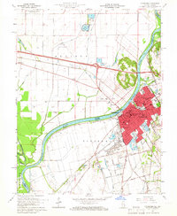 1965 Vincennes1966 Print · USGSThe Indiana-Illinois border comes alive in the mid-1960s as the Wabash River carves through a landscape of rail yards and historic academies. Researchers can trace the grounds of Vincennes University or locate family plots in Mt Calvary Cemetery and B'nai-Israel Cem.4 unique versions available
 - 1965 Map of Lawrenceville, 1966 Print
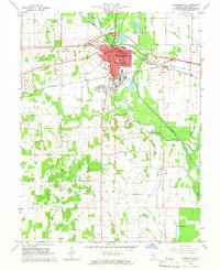 1965 Lawrenceville1966 Print · USGSLawrence County in the mid-1960s reveals a hardworking landscape of rail junctions, industrial refineries, and quiet country churches. Researchers can locate family roots at Hollister Cem, trace the New York Central line, or find vanished schoolhouses like Band Ridge Sch.2 unique versions available
 - 1968 Map of Berryville, 1969 Print
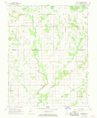 1968 Berryville1969 Print · USGSSoutheast Illinois at the end of the sixties reveals a rural landscape where county lines meet along the Old Indian Treaty Boundary. Genealogists can locate several family landmarks and burial sites like Welser Cem, Pinhook Cem, and Pleasant Grove Ch.
 - 1968 Map of Sumner, 1970 Print
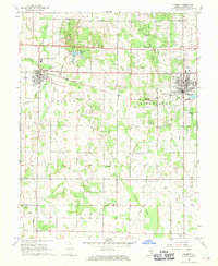 1968 Sumner1970 Print · USGSLawrence County saw a landscape of steady production and rural community in the late sixties, anchored by the industrial corridor between Sumner and Bridgeport. Researchers can locate numerous family landmarks, from Washington Sch to local cemeteries like Mt Zion Cem and Spring Hill Cem.
 - 1968 Map of Chauncey, 1970 Print
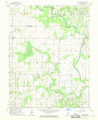 1968 Chauncey1970 Print · USGSSoutheastern Illinois in the late sixties reveals a landscape where old treaty lines and the oil industry overlap. Genealogists and local historians can locate several rural churches and schools, such as Bethany Ch, Island Ch, and the Petty Sch near Applegate.
 - 1968 Map of Landes, 1970 Print
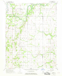 1968 Landes1970 Print · USGSRichland and Jasper counties in the late sixties remain a patchwork of small townships and rural parishes. Family historians can trace local roots through numerous country landmarks like South Bend Cem, St Joseph Sch, and the Amity settlement.
Showing maps 1-25 of 103
Top cities of Lawrence County
- Lawrenceville historical maps
- Bridgeport historical maps
- Sumner historical maps
- Russellville historical maps
- Birds historical maps
Frequently asked questions
- What are the different types of historical maps available for Lawrence County?
- What is the oldest map of Lawrence County?
- Where can I purchase historical maps of Lawrence County for my home or office?
- Where can I download high-res historical maps of Lawrence County?
- Are there historical topographic maps available for Lawrence County?
- Is there historical aerial imagery available for Lawrence County?
- Where are historical maps of Lawrence County sourced from?