1960s Maps of Lawrence County, Illinois
Explore 12 historic maps of Lawrence County from the 1960s. These maps offer a rare glimpse into what life looked like during the 1960s — showing old roads, neighborhoods, homes, and landmarks that have changed or disappeared over time.
Whether you're researching your family's past, planning a metal detecting trip, or studying how Lawrence County's landscape evolved across the 1960s, these high-resolution maps are a powerful tool for exploring the history of this region.
- Focus on a specific era: All maps on this page are from the 1960s, giving you a focused view of this time period.
- See what’s changed: Compare century-old streets, trails, and buildings to today's modern landscape using overlays and satellite layers.
- Research with precision: Use these maps for genealogy, historical research, land use analysis, or educational projects.
- View, download, or print: Maps are fully viewable online in high resolution, and can be downloaded or printed for your own records.
Start exploring Lawrence County's history through authentic maps from the 1960s. This is your window into the past.
Lawrence County, IL maps
(12)- 1961 Map of Decker, 1963 Print
 1961 Decker1963 Print · USGSKnox County, Indiana, sits at the confluence of the White and Wabash Rivers during the early sixties. Genealogists can trace family footprints at Chimney Pier Hills Cem and Warth Cem, while local historians can locate small rail stops like Vollmer and Purcell.3 unique versions available
 - 1964 Map of Birds, 1965 Print
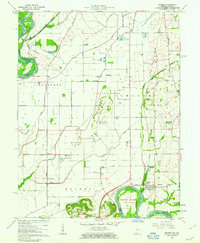
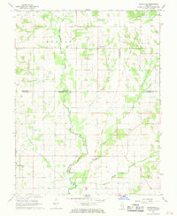
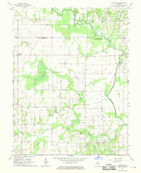
 1964 Birds1965 Print · USGSThe rural landscape of Lawrence County in the mid-1960s reveals a network of railroad-aligned settlements and prairie farmsteads. Genealogists can trace family names through landmarks like Morris Cem, Riddleville, and the Brookside Sch along the New York Central line.
 - 1964 Map of Russellville, 1965 Print
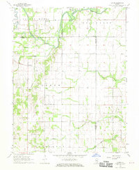
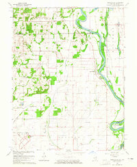 1964 Russellville1965 Print · USGSThe Wabash River valley at the border of Illinois and Indiana shows a landscape of aviation and river-bottom agriculture in the mid-1960s. Researchers can locate the Lawrenceville Vincennes Municipal Airport and rural landmarks like Rising Sun Ch and the Niblack Cem.2 unique versions available
 - 1964 Map of St. Francisville, 1966 Print
 1964 St. Francisville1966 Print · USGSThe Wabash River valley in the mid-sixties reveals a landscape shaped by river bends and rail lines. Genealogists can trace rural roots through numerous sites like Jordan Cem, New Bethel Ch, and the streets of St Francisville.3 unique versions available
 - 1965 Map of Vincennes, 1966 Print
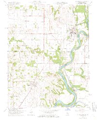
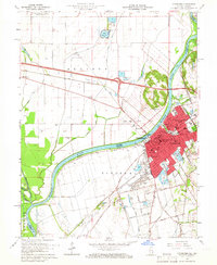 1965 Vincennes1966 Print · USGSThe Indiana-Illinois border comes alive in the mid-1960s as the Wabash River carves through a landscape of rail yards and historic academies. Researchers can trace the grounds of Vincennes University or locate family plots in Mt Calvary Cemetery and B'nai-Israel Cem.4 unique versions available
 - 1965 Map of Lawrenceville, 1966 Print
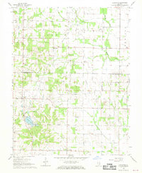
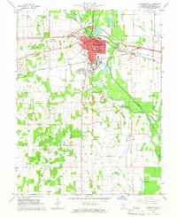 1965 Lawrenceville1966 Print · USGSLawrence County in the mid-1960s reveals a hardworking landscape of rail junctions, industrial refineries, and quiet country churches. Researchers can locate family roots at Hollister Cem, trace the New York Central line, or find vanished schoolhouses like Band Ridge Sch.2 unique versions available
 - 1968 Map of Berryville, 1969 Print
 1968 Berryville1969 Print · USGSSoutheast Illinois at the end of the sixties reveals a rural landscape where county lines meet along the Old Indian Treaty Boundary. Genealogists can locate several family landmarks and burial sites like Welser Cem, Pinhook Cem, and Pleasant Grove Ch.
 - 1968 Map of Sumner, 1970 Print
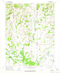
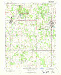 1968 Sumner1970 Print · USGSLawrence County saw a landscape of steady production and rural community in the late sixties, anchored by the industrial corridor between Sumner and Bridgeport. Researchers can locate numerous family landmarks, from Washington Sch to local cemeteries like Mt Zion Cem and Spring Hill Cem.
 - 1968 Map of Chauncey, 1970 Print
 1968 Chauncey1970 Print · USGSSoutheastern Illinois in the late sixties reveals a landscape where old treaty lines and the oil industry overlap. Genealogists and local historians can locate several rural churches and schools, such as Bethany Ch, Island Ch, and the Petty Sch near Applegate.
 - 1968 Map of Landes, 1970 Print
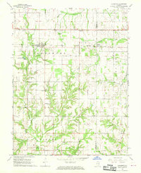
 1968 Landes1970 Print · USGSRichland and Jasper counties in the late sixties remain a patchwork of small townships and rural parishes. Family historians can trace local roots through numerous country landmarks like South Bend Cem, St Joseph Sch, and the Amity settlement.
 - 1968 Map of Lancaster, 1970 Print
 1968 Lancaster1970 Print · USGSWabash and Lawrence Counties are shown here in the late sixties as an active landscape of prairie farming and oil production. Researchers can trace rural lineages through family landmarks like Moffett Cem or visit small hubs like Lancaster and Orio.
 - 1968 Map of Claremont, 1970 Print
 1968 Claremont1970 Print · USGSRichland and Lawrence counties appear here in the late sixties, centered on the railroad town of Claremont. Researchers can trace old family burial sites like Dutch Flat Cem and Brian Cem or locate rural landmarks like Otterbein Ch.
End of results
Showing maps 1-12 of 12
Top cities of Lawrence County
- Lawrenceville historical maps
- Bridgeport historical maps
- Sumner historical maps
- Russellville historical maps
- Birds historical maps
Frequently asked questions
- What are the different types of historical maps available for Lawrence County?
- What is the oldest map of Lawrence County?
- Where can I purchase historical maps of Lawrence County for my home or office?
- Where can I download high-res historical maps of Lawrence County?
- Are there historical topographic maps available for Lawrence County?
- Is there historical aerial imagery available for Lawrence County?
- Where are historical maps of Lawrence County sourced from?