Old Maps of Troy, Illinois for Metal Detecting
Plan your next treasure hunt with 20 historic maps of Troy. Find old homesites, ghost towns, trails, and gathering spots that may be lost to time — perfect for identifying promising metal detecting locations.
- Locate forgotten sites: Uncover places like long-lost settlements, abandoned rail lines, or gathering spots.
- Plan better hunts: Use map overlays combined with LiDAR or satellite views to narrow in on historically rich areas.
- Made for detectorists: Thousands of hobbyists use these maps to discover relics, coins, and hidden history.
Use these historic maps to boost your research and find new opportunities beneath the surface of Troy.
Troy, IL maps
(20)- 1907 Map of Belleville
 1907 Belleville1907 Print · USGSSouthwestern Illinois is seen at a height of rail-driven expansion in the early twentieth century. Trace genealogy and land history in Belleville, O'Fallon, and Summerfield along the Vandalia System and other regional lines.3 unique versions available
 - 1937 Map of Collinsville
 1937 Collinsville1937 Print · USGSSouthwestern Illinois thrives in the mid-1930s as a hub of rail traffic and coal-country commerce. Genealogists and local historians can trace family locations near Chinatown, Donkville, and numerous country schools like Bethel Sch or Spring Valley Sch.2 unique versions available
 - 1949 Map of St. Jacob
 1949 St. Jacob1949 Print · USGSMadison County's agricultural and rail corridor is meticulously detailed in the late 1940s, centered on the village of St Jacob. Researchers can trace dozens of family cemeteries and rural school sites like Gilead Sch, Terrapin Ridge, and the PENNSYLVANIA railroad line.2 unique versions available
 - 1954 Map of Collinsville, 1959 Print
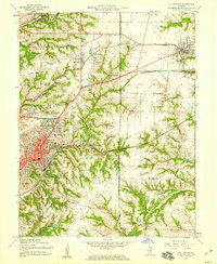 1954 Collinsville1959 Print · USGSMid-century Madison County reveals an era of thriving rail junctions and local neighborhood schools. Genealogists and local historians can trace family locations through landmarks like Finland Cem, Troy Crossing, and Lanham Sch.4 unique versions available
 - 1954 Map of St. Jacob, 1959 Print
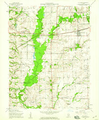 1954 St. Jacob1959 Print · USGSMid-century Madison County is captured here at a time when the village of St Jacob remained a central hub for the surrounding township farms. Researchers can locate numerous family burial sites like Anderson Cem and Smart Cem or trace the geography around Emerald Mound.4 unique versions available
 - 1958 Map of Belleville, 1973 Print
 1958 Belleville1973 Print · USGSSouthern Illinois during the mid-twentieth century reveals a landscape of industrial growth and massive new reservoirs. Genealogists and historians can trace the paths of the Illinois Central RR through towns like Centralia or locate landmarks such as Emerald Mound and the Looking Glass Prairie.3 unique versions available
 - 1962 Map of Belleville
 1962 Belleville1962 Print · USGSSouthern Illinois in the late fifties reveals a landscape of industrial growth and ancient landmarks before the full expansion of the interstate system. Genealogists can trace family names and rural post offices near Centralia, Salem, and the historic Monks Mound.
 - 1985 Map of Carlyle Lake
 1985 Carlyle Lake1985 Print · USGSSouthwestern Illinois in the mid-eighties shows a landscape of growing commuter suburbs and massive water management projects. Genealogists and historians can locate family plots at Lakeview Memorial Gardens Cem or trace the early footprint of Southern Illinois Univ (Edwardsville).2 unique versions available
 - 1991 Map of St. Jacob
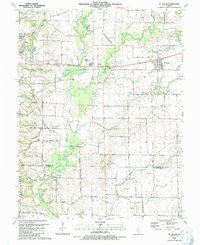 1991 St. Jacob1991 Print · USGSMadison County farmland near the turn of the 1990s was a patchwork of small family cemeteries and developing infrastructure. Genealogists can trace rural family roots at Gilead Cem and Wittman Cem, or locate the historic Old Railroad Grade near Triad High Sch.
 - 1991 Map of Collinsville
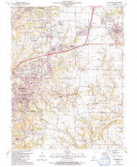 1991 Collinsville1991 Print · USGSThe Collinsville and Troy area comes alive in the early nineties as suburban neighborhoods began to weave through the older rural landscape. Researchers can trace family sites at St Pauls Cem or locate community landmarks like Maryville Sch and Troy Crossing.
 - 2012 Map of Saint Jacob, 2012 Print
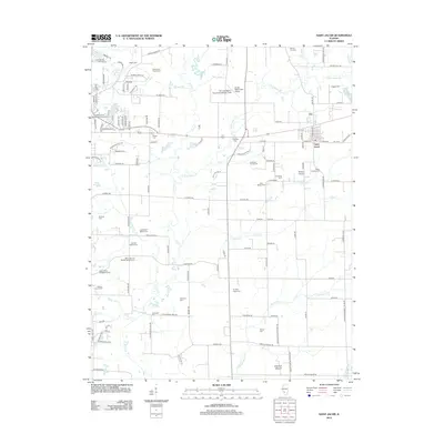 2012 Saint Jacob2012 Print · USGSMadison County at the turn of the decade is defined by its deep-rooted family farms and sprawling cemeteries east of Troy. Genealogists can trace family heritage at the Gerke Family Cemetery and Keystone City Cemetery, or locate landmarks like Emerald Mound.
 - 2012 Map of Collinsville, 2012 Print
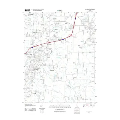 2012 Collinsville2012 Print · USGSCollinsville and Maryville are shown during a period of significant suburban growth in the early twenty-first century. Researchers can locate many small family burial grounds like the Riggin Family Cem and trace local landmarks like Browns Mound and Lakeview Memorial Gardens.
 - 2015 Map of Collinsville, 2015 Print
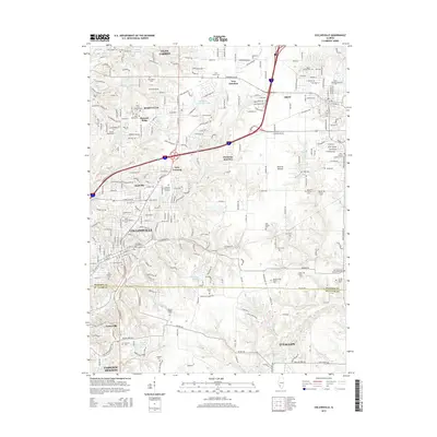 2015 Collinsville2015 Print · USGSThe Madison and St. Clair county line in the mid-2010s reveals a landscape where suburban growth meets historic pioneer roots. Researchers can trace dozens of family and church sites, from Lemen Settlement Rd and Donkville to the Bohnenstiehl Family Cem.
 - 2015 Map of Saint Jacob, 2015 Print
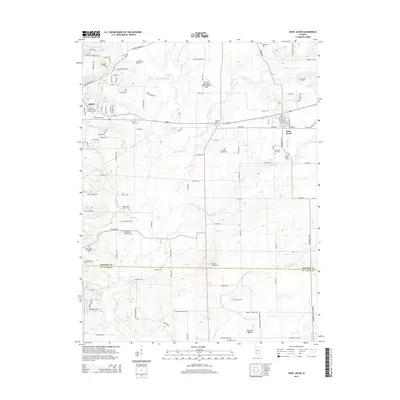 2015 Saint Jacob2015 Print · USGSMadison County's agricultural heartland is documented here in the 2010s, showing the evolving landscape between Troy and Saint Jacob. Genealogists can locate several smaller burial sites like Hagler Cemetery, Badsby Cemetery, and the Anderson Family Cemetery.
 - 2018 Map of Saint Jacob, 2018 Print
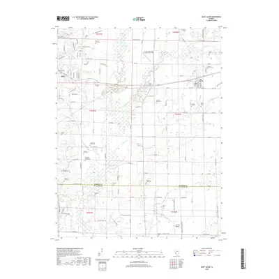 2018 Saint Jacob2018 Print · USGSMadison and St. Clair counties are shown in detail during the late twenty-teens, where family farming traditions meet modern infrastructure. Researchers can locate dozens of ancestral burial sites like Gilead Cemetery, Widicus Family Cemetery, and the notable Emerald Mound.
 - 2018 Map of Collinsville, 2018 Print
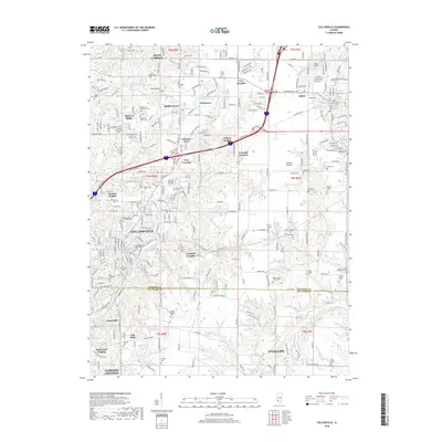 2018 Collinsville2018 Print · USGSSpanning the borders of Madison and St. Clair Counties in 2018, this area shows a unique blend of modern residential growth and deep-rooted family history. Genealogists can trace early homesteads through the Lemen Settlement Rd and numerous family plots like the Hoenig Family Cem or Metz Cem.
 - 2021 Map of Saint Jacob, 2021 Print
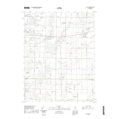 2021 Saint Jacob2021 Print · USGSMadison County at the start of the 2020s shows a landscape of deep-rooted family settlements and winding creek bottoms. Genealogists can trace numerous local sites like the Smart Family Burial Ground, Emerald Mound, and Keystone City Cemetery.
 - 2021 Map of Collinsville, 2021 Print
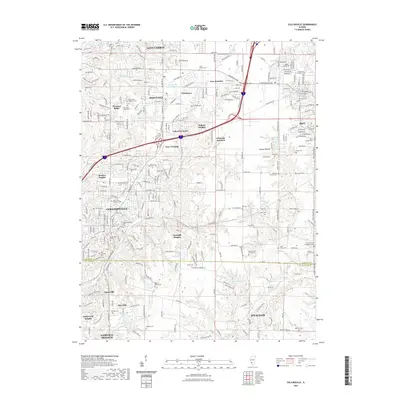 2021 Collinsville2021 Print · USGSMadison and St. Clair counties are shown in high detail during their twenty-first-century growth. Genealogists can trace family heritage through numerous pioneer burial sites like the Lemen Cem, Metz Cem, and the historic Lemen Settlement Rd.
 - 2024 Map of Saint Jacob, 2024 Print
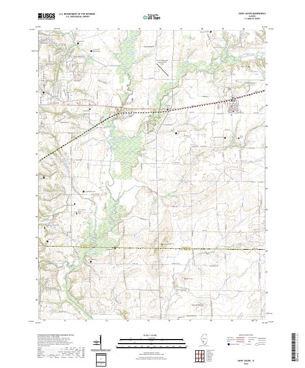 2024 Saint Jacob2024 Print · USGSMadison County at the edge of the St. Louis metro area remains a landscape of deep-rooted family histories and prairie waterways. Genealogists can trace lineage through numerous rural burial sites like Keystone City Cem and the Smart Family Burial Ground, or locate the ancient profile of Emerald Mound.
 - 2024 Map of Collinsville, 2024 Print
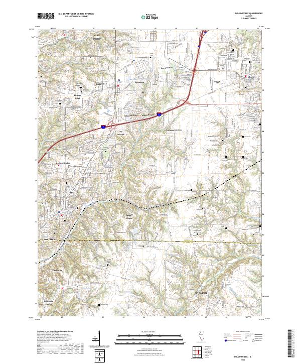 2024 Collinsville2024 Print · USGSThis contemporary survey of southwestern Illinois shows the modern intersection of interstate commerce and deep-rooted local history. Genealogists can trace family names across numerous sites like Riggin Family Cem, Metz Cem, and Lumaghi Heights.
End of results
Showing maps 1-20 of 20
Top cities near Troy
- Belleville historical maps
- O'Fallon historical maps
- Granite City historical maps
- Edwardsville historical maps
- Alton historical maps
- Collinsville historical maps
See more
Frequently asked questions
- What are the different types of historical maps available for Troy?
- What is the oldest map of Troy?
- Where can I purchase historical maps of Troy for my home or office?
- Where can I download high-res historical maps of Troy?
- Are there historical topographic maps available for Troy?
- Is there historical aerial imagery available for Troy?
- Where are historical maps of Troy sourced from?