2000s (21st Century) Maps of Iuka, Iuka Township
Explore 10 historic maps of Iuka from the 2000s (21st Century). These maps offer a rare glimpse into what life looked like during the 2000s — showing old roads, neighborhoods, homes, and landmarks that have changed or disappeared over time.
Whether you're researching your family's past, planning a metal detecting trip, or studying how Iuka's landscape evolved across the 2000s, these high-resolution maps are a powerful tool for exploring the history of this region.
- Focus on a specific era: All maps on this page are from the 2000s, giving you a focused view of this time period.
- See what’s changed: Compare century-old streets, trails, and buildings to today's modern landscape using overlays and satellite layers.
- Research with precision: Use these maps for genealogy, historical research, land use analysis, or educational projects.
- View, download, or print: Maps are fully viewable online in high resolution, and can be downloaded or printed for your own records.
Start exploring Iuka's history through authentic maps from the 2000s. This is your window into the past.
Iuka, Iuka Township maps
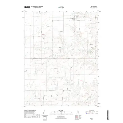
(10)- 2012 Map of Omega, 2012 Print
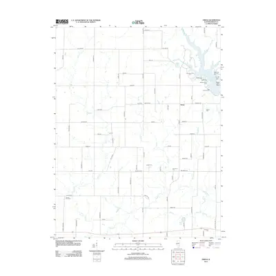 2012 Omega2012 Print · USGSCovers Iuka, including Omega, Iuka Township, and other nearby areas
 - 2012 Map of Iuka, 2012 Print
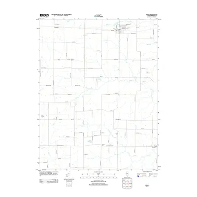 2012 Iuka2012 Print · USGSCovers Iuka, including Union Town, Bannister, and other nearby areas
 - 2015 Map of Iuka, 2015 Print
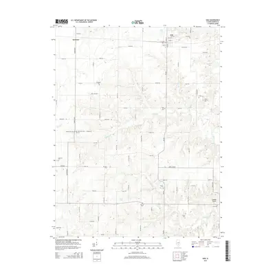 2015 Iuka2015 Print · USGSCovers Iuka, including Union Town, Bannister, and other nearby areas
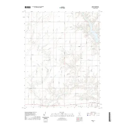
 - 2015 Map of Omega, 2015 Print
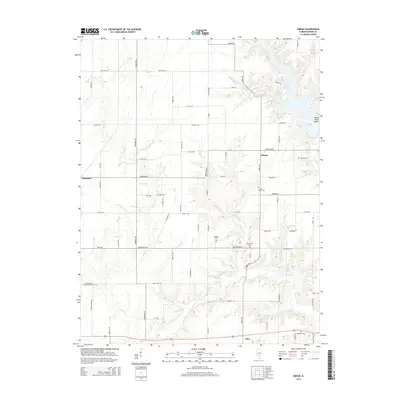 2015 Omega2015 Print · USGSCovers Iuka, including Omega, Iuka Township, and other nearby areas
 - 2018 Map of Iuka, 2018 Print
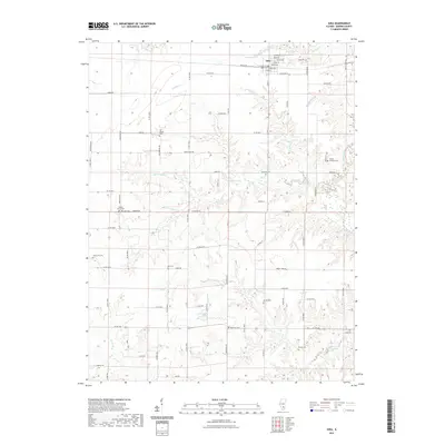
 2018 Iuka2018 Print · USGSCovers Iuka, including Union Town, Bannister, and other nearby areas
 - 2018 Map of Omega, 2018 Print
 2018 Omega2018 Print · USGSCovers Iuka, including Omega, Iuka Township, and other nearby areas
 - 2021 Map of Iuka, 2021 Print
 2021 Iuka2021 Print · USGSCovers Iuka, including Union Town, Bannister, and other nearby areas
 - 2021 Map of Omega, 2021 Print
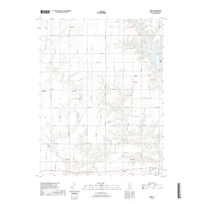
 2021 Omega2021 Print · USGSCovers Iuka, including Omega, Iuka Township, and other nearby areas
 - 2024 Map of Iuka, 2024 Print
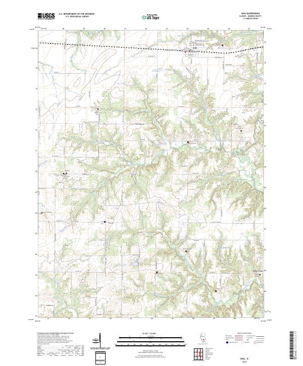 2024 Iuka2024 Print · USGSIuka and the surrounding Marion County countryside are shown here in modern detail, preserving the locations of many local landmarks. Researchers can trace family ties through numerous sites like Old Bethel Cem, Union Town, and Wham Hill Cem.
 - 2024 Map of Omega, 2024 Print
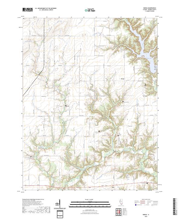 2024 Omega2024 Print · USGSMarion County's rural landscape comes into focus here at the turn of the 21st century, centered on the community of Omega. Genealogists can trace family roots through numerous local sites like Bee Branch Cem, Yost Cem, and Millican Cem.
End of results
Showing maps 1-10 of 10
Top cities near Iuka
- Salem historical maps
- Tonti historical maps
- Kinmundy historical maps
- Dix historical maps
- Omega historical maps
- Xenia historical maps
See more
Frequently asked questions
- What are the different types of historical maps available for Iuka?
- What is the oldest map of Iuka?
- Where can I purchase historical maps of Iuka for my home or office?
- Where can I download high-res historical maps of Iuka?
- Are there historical topographic maps available for Iuka?
- Is there historical aerial imagery available for Iuka?
- Where are historical maps of Iuka sourced from?