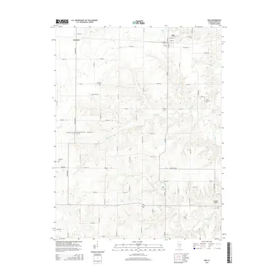
2015 Map of Iuka
USGS Topo · Published 2015About this map
Iuka stands at the center of this Marion County survey, showing a landscape defined by its agricultural roots and the dendritic drainage of several creeks. The settlement of Bannister anchors the northwest corner, while numerous cemeteries such as Old Bethel Cem, Snow Hill Cem, and Palestine Cem are scattered across the quadrangle, indicating long-standing family farmsteads and rural communities. Water is a dominant feature, with Dums Cr and Jamison Cr flowing through the northern reaches, while Skillet Fork and Paintrock Cr mark the southeastern terrain.
Find a feature on this map
59 named features on this map. Tap any name to fly to it.
Don’t see what you’re looking for? This feature index may not catch every label — zoom into the map to look around manually.
Map Details
Editions of this 2015 Iuka Map
This is the sole edition of this map. No revisions or reprints were ever made.
Other maps of this area
1933 · Mount Vernon
USGS Topo · 1:48,000
1934 · Salem
USGS Topo · 1:62,500
1938 · Salem
USGS Topo · 1:62,500
1940 · Mount Vernon
USGS Topo · 1:62,500
1947 · Wayne City
USGS Topo · 1:62,500
1952 · Xenia
USGS Topo · 1:62,500
1958 · Belleville
USGS Topo · 1:250,000
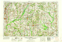
1962 · Belleville
USGS Topo · 1:250,000
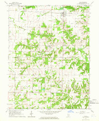
1965 · Iuka
USGS Topo · 1:24,000
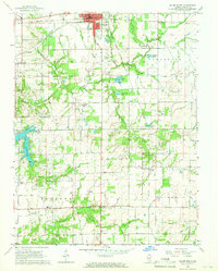
1965 · Salem South
USGS Topo · 1:24,000