2020s Maps of Kinmundy, Illinois
Explore 4 historic maps of Kinmundy from the 2020s. These maps offer a rare glimpse into what life looked like during the 2020s — showing old roads, neighborhoods, homes, and landmarks that have changed or disappeared over time.
Whether you're researching your family's past, planning a metal detecting trip, or studying how Kinmundy's landscape evolved across the 2020s, these high-resolution maps are a powerful tool for exploring the history of this region.
- Focus on a specific era: All maps on this page are from the 2020s, giving you a focused view of this time period.
- See what’s changed: Compare century-old streets, trails, and buildings to today's modern landscape using overlays and satellite layers.
- Research with precision: Use these maps for genealogy, historical research, land use analysis, or educational projects.
- View, download, or print: Maps are fully viewable online in high resolution, and can be downloaded or printed for your own records.
Start exploring Kinmundy's history through authentic maps from the 2020s. This is your window into the past.
Kinmundy, IL maps
(4)- 2021 Map of Kinmundy, 2021 Print
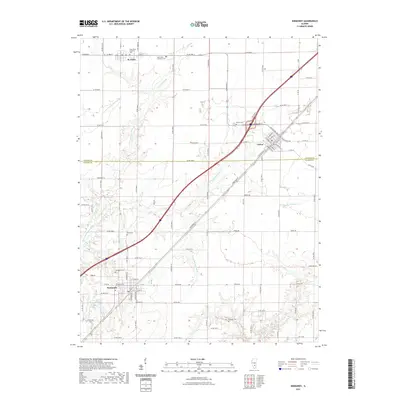 2021 Kinmundy2021 Print · USGSCovers Kinmundy, including St. Peter, Saint Peter, and other nearby areas
 - 2021 Map of Saint Paul, 2021 Print
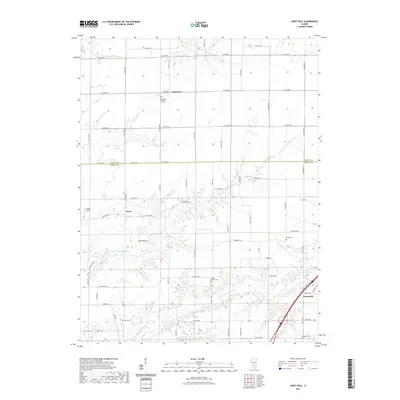 2021 Saint Paul2021 Print · USGSCovers Kinmundy, including Lester, Saint Paul, and other nearby areas
 - 2024 Map of Saint Paul, 2024 Print
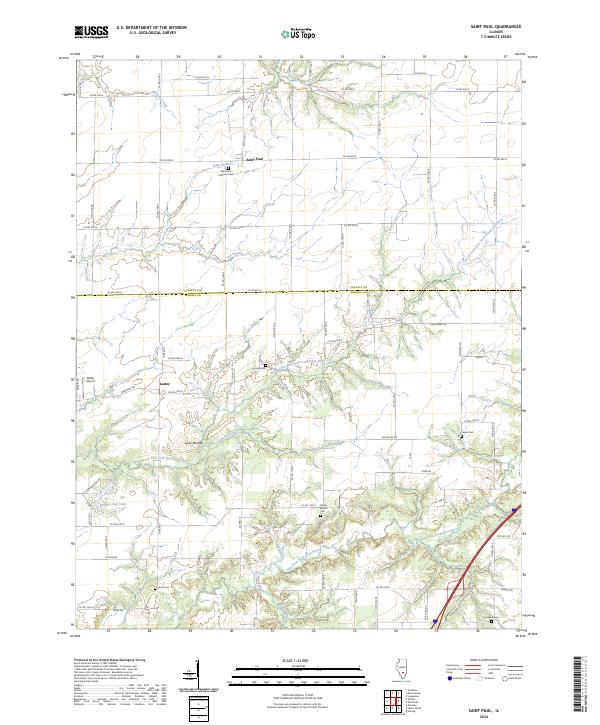 2024 Saint Paul2024 Print · USGSMarion and Fayette counties are mapped here in the early 2020s, showing the rural landscape where the river forks converge. Researchers can locate several family and community burial sites, such as Jones Cem, Eastland Cem, and Saint Paul Lutheran Cem.
 - 2024 Map of Kinmundy, 2024 Print
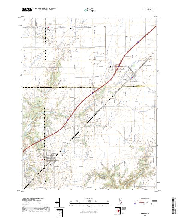 2024 Kinmundy2024 Print · USGSKinmundy and Farina sit at the heart of this Southern Illinois landscape at the Fayette and Marion county border. Genealogists can trace family sites at Gray Cem and Evergreen Cem, or follow the water along Crooked Creek and Kinmundy Lake.
End of results
Showing maps 1-4 of 4
Top cities near Kinmundy
- Centralia historical maps
- Salem historical maps
- Odin historical maps
- Tonti historical maps
- La Clede historical maps
- Brownstown historical maps
See more
Frequently asked questions
- What are the different types of historical maps available for Kinmundy?
- What is the oldest map of Kinmundy?
- Where can I purchase historical maps of Kinmundy for my home or office?
- Where can I download high-res historical maps of Kinmundy?
- Are there historical topographic maps available for Kinmundy?
- Is there historical aerial imagery available for Kinmundy?
- Where are historical maps of Kinmundy sourced from?