Old Maps of Salem, Illinois for Metal Detecting
Plan your next treasure hunt with 32 historic maps of Salem. Find old homesites, ghost towns, trails, and gathering spots that may be lost to time — perfect for identifying promising metal detecting locations.
- Locate forgotten sites: Uncover places like long-lost settlements, abandoned rail lines, or gathering spots.
- Plan better hunts: Use map overlays combined with LiDAR or satellite views to narrow in on historically rich areas.
- Made for detectorists: Thousands of hobbyists use these maps to discover relics, coins, and hidden history.
Use these historic maps to boost your research and find new opportunities beneath the surface of Salem.
Salem, IL maps
(32)- 1914 Map of Centralia
 1914 Centralia1914 Print · USGSSouthern Illinois at the peak of the rail era shows a landscape of busy junctions and tightly-knit rural school districts. Genealogists and historians can trace family locations near landmarks like Possumtrot School, Fikes Hill, and the bustling yards of Centralia.3 unique versions available
 - 1934 Map of Salem, 1960 Print
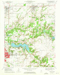
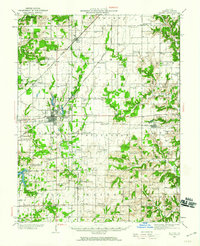 1934 Salem1960 Print · USGSMarion County in the mid-1930s is a dense network of steam railroads and rural township life centered around the bustling city of Salem. Genealogists and historians can trace family roots at numerous rural schoolhouses like Allmon Sch and historic landmarks such as the County Infirmary.
 - 1935 Map of Centralia, 1958 Print
 1935 Centralia1958 Print · USGSCentralia and the surrounding Marion County townships thrived as a major railroad crossroads in the mid-1930s. Researchers can locate dozens of localized rural schoolhouses like Red Stripe and Possumtrot School or trace the early paths of the Illinois Central through Sandoval and Odin.
 - 1938 Map of Salem
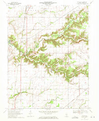
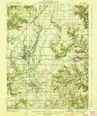 1938 Salem1938 Print · USGSMarion County thrived as a rail-centric agricultural hub in the late 1930s, defined by the intersection of three major railroads. Genealogists can trace family roots through dozens of local landmarks like Givens Chapel, County Infirmary, and the Martin Cem.2 unique versions available
 - 1958 Map of Belleville, 1973 Print
 1958 Belleville1973 Print · USGSSouthern Illinois during the mid-twentieth century reveals a landscape of industrial growth and massive new reservoirs. Genealogists and historians can trace the paths of the Illinois Central RR through towns like Centralia or locate landmarks such as Emerald Mound and the Looking Glass Prairie.3 unique versions available
 - 1962 Map of Belleville
 1962 Belleville1962 Print · USGSSouthern Illinois in the late fifties reveals a landscape of industrial growth and ancient landmarks before the full expansion of the interstate system. Genealogists can trace family names and rural post offices near Centralia, Salem, and the historic Monks Mound.
 - 1965 Map of Salem South, 1966 Print
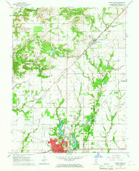
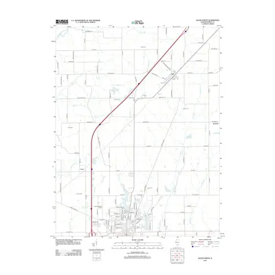
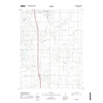
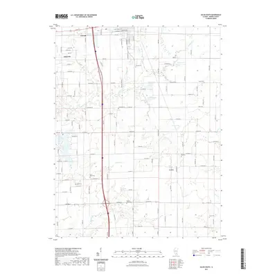
 1965 Salem South1966 Print · USGSMarion County during the mid-sixties reveals a landscape defined by industrial rail lines and small rural townships. Genealogists can locate family-named landmarks like Purdue Cem and Young Chapel or trace the early footprint of Lake Centralia.2 unique versions available
 - 1965 Map of Salem North, 1966 Print
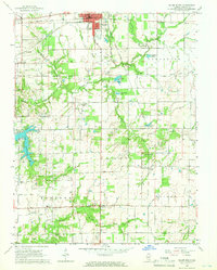
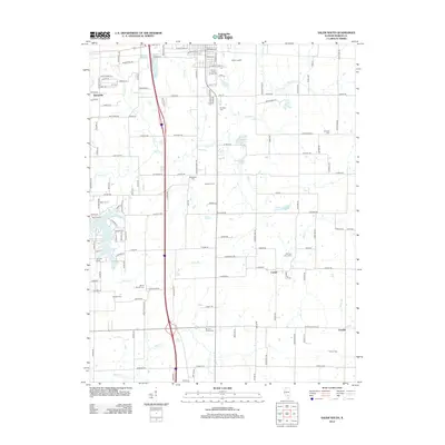
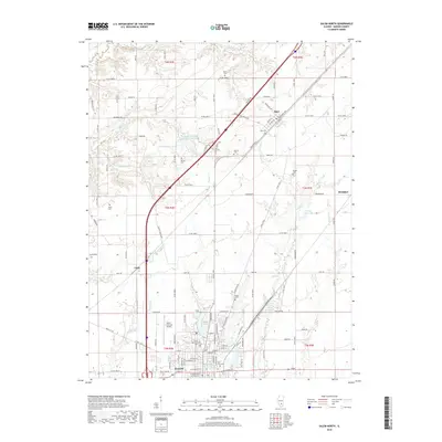
 1965 Salem North1966 Print · USGSMarion County's rail-and-road network is on full display in the mid-sixties as the city of Salem expands northward toward the Salem Reservoir. Researchers can trace old family burial grounds like Martin Cem and Allison Cem or locate community anchors such as Givens Chapel.2 unique versions available
 - 1970 Map of Fairman, 1971 Print
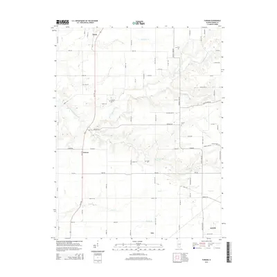
 1970 Fairman1971 Print · USGSMarion County's rural oil-producing landscape is captured here in the early seventies as the petroleum industry shaped the local economy. Researchers can locate the Patoka East Oil Field, the Illinois Central railroad, and family landmarks like Cruise Cem and Cubbage Chapel.
 - 1970 Map of Centralia East, 1971 Print
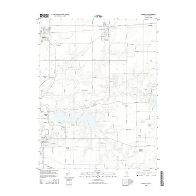
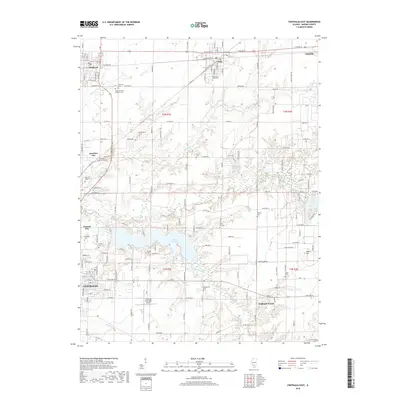
 1970 Centralia East1971 Print · USGSMarion County at the start of the 1970s reveals a landscape of industrial energy and deep-rooted rural communities. Trace the intersection of the Illinois Central railroad with local landmarks like the Raccoon Lake Oil Field and Peaceful Valley Cem.3 unique versions available
 - 1985 Map of Carlyle Lake
 1985 Carlyle Lake1985 Print · USGSSouthwestern Illinois in the mid-eighties shows a landscape of growing commuter suburbs and massive water management projects. Genealogists and historians can locate family plots at Lakeview Memorial Gardens Cem or trace the early footprint of Southern Illinois Univ (Edwardsville).2 unique versions available
 - 1986 Map of Olney
 1986 Olney1986 Print · USGSSouth-central Illinois in the mid-eighties shows a landscape of small agricultural towns linked by historic rail lines and prairie preserves. Trace family roots and vanished rail stops near Kinmundy, the Prairie Chicken Sanctuary, and Salem.2 unique versions available
 - 2012 Map of Centralia East, 2012 Print
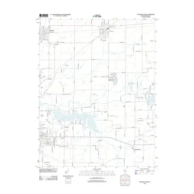 2012 Centralia East2012 Print · USGSCovers Salem, including Centralia, Sandoval, and other nearby areas
 - 2012 Map of Fairman, 2012 Print
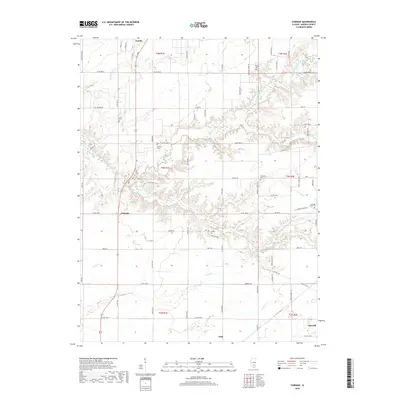
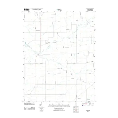 2012 Fairman2012 Print · USGSCovers Salem, including Odin, Patoka, and other nearby areas
 - 2012 Map of Salem South, 2012 Print
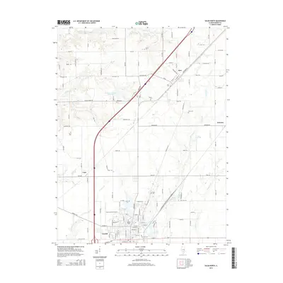
 2012 Salem South2012 Print · USGSCovers Salem, including Selmaville, Cartter, and other nearby areas
 - 2012 Map of Salem North, 2012 Print
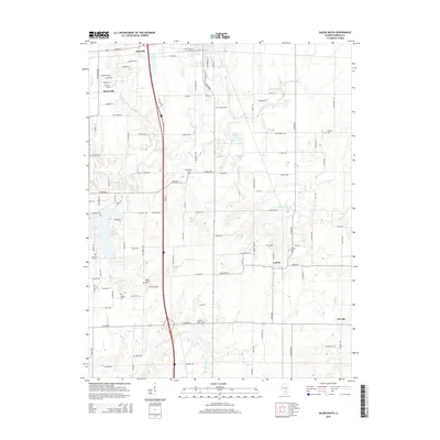
 2012 Salem North2012 Print · USGSCovers Salem, including Tonti, Alma, and other nearby areas
 - 2015 Map of Salem North, 2015 Print
 2015 Salem North2015 Print · USGSCovers Salem, including Tonti, Alma, and other nearby areas
 - 2015 Map of Salem South, 2015 Print
 2015 Salem South2015 Print · USGSCovers Salem, including Selmaville, Cartter, and other nearby areas
 - 2015 Map of Centralia East, 2015 Print
 2015 Centralia East2015 Print · USGSCovers Salem, including Centralia, Sandoval, and other nearby areas
 - 2015 Map of Fairman, 2015 Print
 2015 Fairman2015 Print · USGSCovers Salem, including Odin, Patoka, and other nearby areas
 - 2018 Map of Fairman, 2018 Print
 2018 Fairman2018 Print · USGSCovers Salem, including Odin, Patoka, and other nearby areas
 - 2018 Map of Centralia East, 2018 Print
 2018 Centralia East2018 Print · USGSCovers Salem, including Centralia, Sandoval, and other nearby areas
 - 2018 Map of Salem South, 2018 Print
 2018 Salem South2018 Print · USGSCovers Salem, including Selmaville, Cartter, and other nearby areas
 - 2018 Map of Salem North, 2018 Print
 2018 Salem North2018 Print · USGSCovers Salem, including Tonti, Alma, and other nearby areas
 - 2021 Map of Salem South, 2021 Print
 2021 Salem South2021 Print · USGSCovers Salem, including Selmaville, Cartter, and other nearby areas
Showing maps 1-25 of 32
Top cities near Salem
- Centralia historical maps
- Sandoval historical maps
- Central City historical maps
- Odin historical maps
- Tonti historical maps
- Kinmundy historical maps
See more
Frequently asked questions
- What are the different types of historical maps available for Salem?
- What is the oldest map of Salem?
- Where can I purchase historical maps of Salem for my home or office?
- Where can I download high-res historical maps of Salem?
- Are there historical topographic maps available for Salem?
- Is there historical aerial imagery available for Salem?
- Where are historical maps of Salem sourced from?