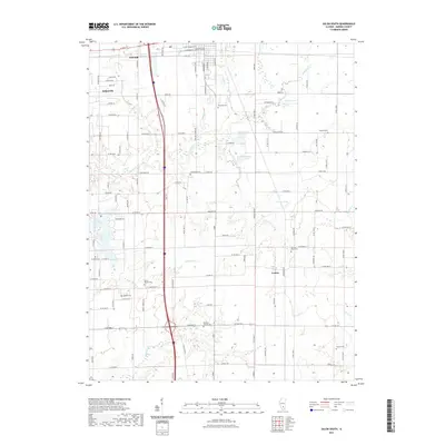
2021 Map of Salem South
USGS Topo · Published 2021About this map
The southern portion of Salem and the adjacent rural landscapes of Marion County are captured here in the early 2020s. This survey illustrates the transition from the city's residential streets, such as W Main St and S College St, to the agrarian expanses punctuated by numerous cemeteries and small water bodies. Genealogists may find value in the precise locations of historical burial grounds including Mount Moriah Cem, Romine Prairie Cem, and Paradise Cem.
Find a feature on this map
114 named features on this map. Tap any name to fly to it.
Don’t see what you’re looking for? This feature index may not catch every label — zoom into the map to look around manually.
Map Details
Editions of this 2021 Salem South Map
This is the sole edition of this map. No revisions or reprints were ever made.
Other maps of this area

1914 · Centralia
USGS Topo · 1:62,500

1933 · Mount Vernon
USGS Topo · 1:48,000

1934 · Salem
USGS Topo · 1:62,500

1935 · Centralia
USGS Topo · 1:62,500

1938 · Salem
USGS Topo · 1:62,500

1940 · Mount Vernon
USGS Topo · 1:62,500

1943 · Ashley
USGS Topo · 1:62,500

1946 · Ashley
USGS Topo · 1:62,500

1958 · Belleville
USGS Topo · 1:250,000

1962 · Belleville
USGS Topo · 1:250,000