2010s Maps of Massac County, Illinois
Explore 42 historic maps of Massac County from the 2010s. These maps offer a rare glimpse into what life looked like during the 2010s — showing old roads, neighborhoods, homes, and landmarks that have changed or disappeared over time.
Whether you're researching your family's past, planning a metal detecting trip, or studying how Massac County's landscape evolved across the 2010s, these high-resolution maps are a powerful tool for exploring the history of this region.
- Focus on a specific era: All maps on this page are from the 2010s, giving you a focused view of this time period.
- See what’s changed: Compare century-old streets, trails, and buildings to today's modern landscape using overlays and satellite layers.
- Research with precision: Use these maps for genealogy, historical research, land use analysis, or educational projects.
- View, download, or print: Maps are fully viewable online in high resolution, and can be downloaded or printed for your own records.
Start exploring Massac County's history through authentic maps from the 2010s. This is your window into the past.
Massac County, IL maps
(42)- 2010 Map of Little Cypress, 2010 Print
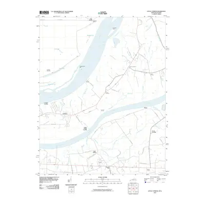 2010 Little Cypress2010 Print · USGSWestern Kentucky near the meeting of the Ohio and Tennessee Rivers comes into focus here in the early twenty-first century. Genealogists and local historians can trace family ties at Possum Trot, Crowell Landing, and Leeper Cemetery.
 - 2010 Map of Joppa, 2010 Print
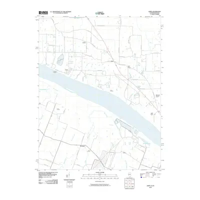 2010 Joppa2010 Print · USGSThe Ohio River shoreline and southern Illinois interior are captured here in the early 21st century. Researchers can trace local history through family sites like Kirkendall Cemetery and Martin Cemetery, or locate old river points such as Fletchers Landing.
 - 2010 Map of Paducah East, 2010 Print
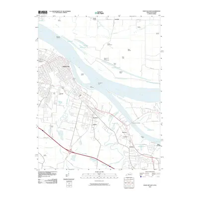 2010 Paducah East2010 Print · USGSPaducah sits at the historic confluence of the Ohio and Tennessee Rivers in this 2010 survey of the region's industrial and residential growth. Genealogists and local historians can trace family sites at Maplelawn Cemetery or explore the rail hubs of the North Yard and South Yard.
 - 2010 Map of Paducah West, 2010 Print
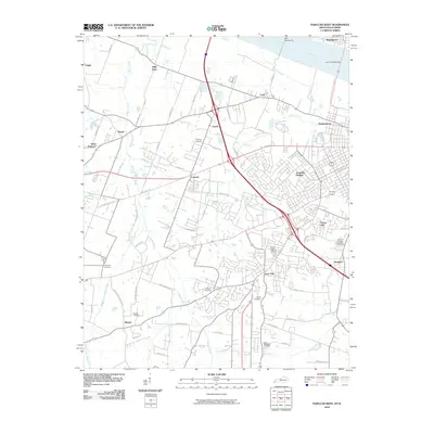 2010 Paducah West2010 Print · USGSWest of Paducah in the early 2000s, the riverfront and suburban expansion define this stretch of the Ohio River valley. Genealogists and local historians can trace family locations through numerous sites like Mount Kenton Cemetery, Bumpous Cemetery, and the community of Lone Oak.
 - 2010 Map of Bandana, 2010 Print
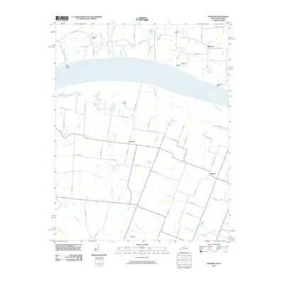 2010 Bandana2010 Print · USGSThe riverfront along the Kentucky and Illinois border comes alive in this study of the Ohio River valley. Genealogists and local historians can trace family roots through numerous sites like Ohio Chapel Cemetery, the settlement of Needmore, and Grand Chain Landing.
 - 2010 Map of Metropolis, 2010 Print
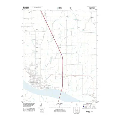 2010 Metropolis2010 Print · USGSSouthern Illinois river life and rural heritage are captured here in the early twenty-first century as the Ohio River flows past METROPOLIS. Researchers can trace local lineage through numerous sites like Round Spring Cemetery and Masonic Cemetery or locate the historic bounds of Massac City.
 - 2011 Map of Brownfield, 2011 Print
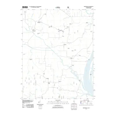 2011 Brownfield2011 Print · USGSSouthern Illinois river country is surveyed here in the early 21st century, showing a landscape defined by the Ohio River and scattered rural hamlets. Researchers can trace local lineages through more than a dozen sites like Fields Cemetery and Williams Cemetery, or locate the Brownfield Post Office and the Deputy Lookout Tower.
 - 2011 Map of Smithland, 2011 Print
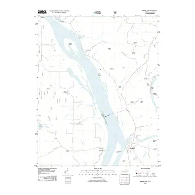 2011 Smithland2011 Print · USGSThe confluence of the Ohio and Cumberland rivers at the turn of the millennium remains a hub of maritime and mining activity. Local researchers can trace family plots at Audubon and Edmonds Cemetery or locate industrial sites like Dyer Hill Mine.
 - 2012 Map of Joppa, 2012 Print
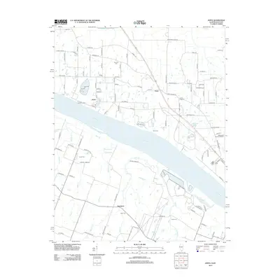 2012 Joppa2012 Print · USGSThe Illinois-Kentucky river border comes to life in this study of the Ohio River corridor near Joppa during the early 2010s. Genealogists and historians can locate numerous burial grounds and rural landmarks like Kirkendall Cem, Rossington, and Macedonia Church.
 - 2012 Map of Karnak, 2012 Print
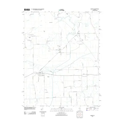 2012 Karnak2012 Print · USGSSouthern Illinois at the start of the 2010s reveals a landscape of river-bottom settlements and upland bluffs. Genealogists and local historians can locate early burial sites like Miller Cem and Wildcat Cem or trace the winding course of the Cache River.
 - 2012 Map of Reevesville, 2012 Print
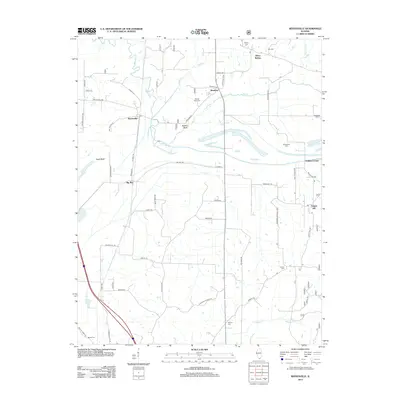 2012 Reevesville2012 Print · USGSSouthern Illinois at the edge of the national forest is captured here during the early twenty-first century. Family history researchers can locate numerous burial grounds like Mount Olive Cem and Canaan Cem, alongside small hubs like Renshaw and Temple Hill.
 - 2012 Map of Paducah NE, 2012 Print
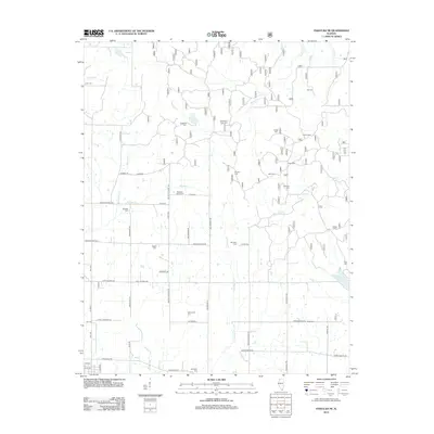 2012 Paducah NE2012 Print · USGSMassac County's rural northern reaches are captured here in the early twenty-first century, showing a landscape defined by ancestral family lands and small creek drainages. Genealogists can trace decades of local history through dozens of sites like Masonic Cem, Roe Cem, and the distinctive Buzzard Roost Cem.
 - 2012 Map of Mermet, 2012 Print
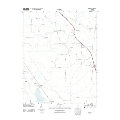 2012 Mermet2012 Print · USGSSouthern Illinois at the start of the 2010s reveals a landscape of enduring rural hamlets and significant water features like Mermet Lake. Genealogists and local historians can trace numerous family burial sites, including Massonic Cem, Shiloh Cem, and Wymore Cem.
 - 2013 Map of Paducah East, 2013 Print
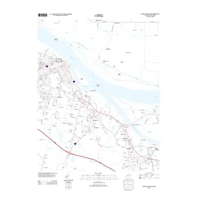 2013 Paducah East2013 Print · USGSEastern Paducah and its riverfront suburbs come into focus during this 2013 survey of the Ohio and Tennessee River confluence. Researchers can trace family history through sites like Maplelawn Cem or locate community hubs in Reidland and Stiles Crossing.
 - 2013 Map of Little Cypress, 2013 Print
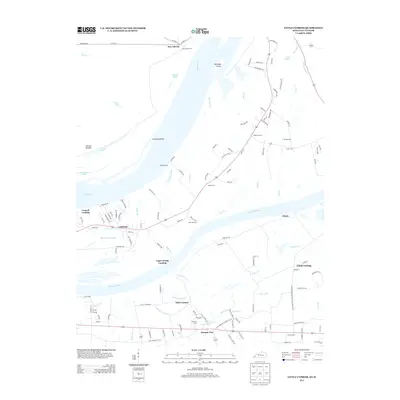 2013 Little Cypress2013 Print · USGSMarshall County at the start of the 2010s reveals a complex network of river landings and small settlements where the Tennessee meets the Ohio. Genealogists and historians can trace family-named sites like Possum Trot, New Liberty, and Sand Hill Cem.
 - 2013 Map of Paducah West, 2013 Print
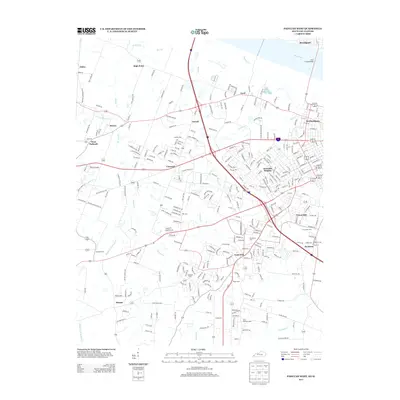 2013 Paducah West2013 Print · USGSWest of the city center in the 2010s, this area shows the expansion of McCracken County neighborhoods and riverfront industry. Researchers can trace family history through numerous local burial grounds, including Mt Kenton Cem, Stanley Cem, and Saint Matthews Cem.
 - 2013 Map of Bandana, 2013 Print
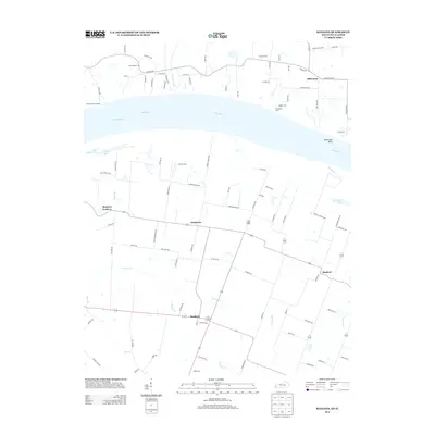 2013 Bandana2013 Print · USGSThe Ohio River corridor between Illinois and Kentucky comes alive in the early twenty-first century, showcasing a region defined by its waterway and small hamlets. Genealogists can trace family sites at Ohio Chapel Cem and Holman Cem or locate the uniquely named Monkeys Eyebrow.
 - 2013 Map of Smithland, 2013 Print
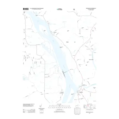 2013 Smithland2013 Print · USGSThe confluence of the Ohio and Cumberland rivers comes into focus in this 2013 survey. Genealogists and local historians can trace family plots at Audubon Cem and Barnett Cem or explore riverside landings like Morrison Landing and Miller Landing.
 - 2015 Map of Joppa, 2015 Print
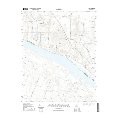 2015 Joppa2015 Print · USGSThe riverfront town of Joppa sits at the center of this mid-2010s survey, where the Ohio River forms the state line between Illinois and Kentucky. Local historians can trace family ties at Kirkendall Cem and Liberty Ridge Cem or locate the site of Rossington near Bayou Cr.
 - 2015 Map of Karnak, 2015 Print
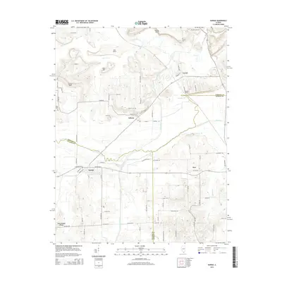 2015 Karnak2015 Print · USGSSouthern Illinois at the confluence of Johnson, Pulaski, and Massac counties reveals a landscape shaped by the Cache River and early drainage efforts. Genealogists and historians can trace local family roots through sites like Hill Cem, Miller Cem, and the settlement of Belknap.
 - 2015 Map of Brownfield, 2015 Print
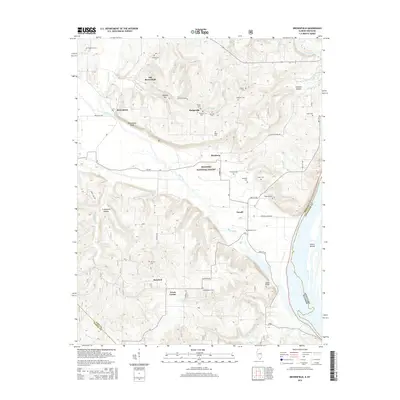 2015 Brownfield2015 Print · USGSSouthern Illinois and the Kentucky border appear here in the mid-2010s, where the Ohio River meets the timberlands of the SHAWNEE NATIONAL FOREST. Genealogists can trace numerous family burial sites and rural communities like Hodgeville, Rosebud, and Shedville Cem.
 - 2015 Map of Mermet, 2015 Print
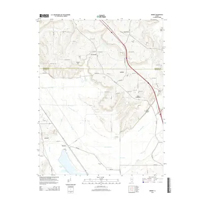 2015 Mermet2015 Print · USGSSouthern Illinois and the border of Johnson and Massac counties are shown here as the landscape transitions from the northern hills toward the Mermet Lake wetlands. Genealogists can trace numerous local burial sites including Nineveh Cem and Massonic Cem near the historic settlements of Ganntown and New Columbia.
 - 2015 Map of Paducah NE, 2015 Print
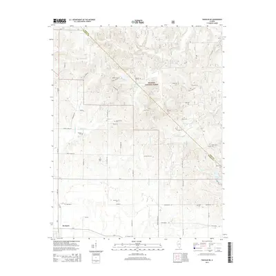 2015 Paducah NE2015 Print · USGSSouthern Illinois just north of the Ohio River is documented here during the mid-2010s as a region of dense family settlements and forest land. Genealogists and local historians can trace legacy sites like Douglas Cem, Buzzard Roost Cem, and the Shawnee National Forest boundary.
 - 2015 Map of Reevesville, 2015 Print
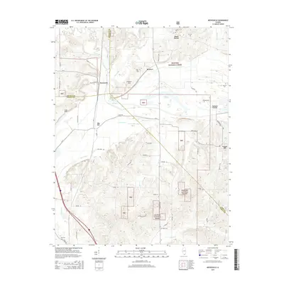 2015 Reevesville2015 Print · USGSSouthern Illinois at the crossroads of Johnson, Pope, and Massac counties is captured here in the mid-2010s. Genealogists and local historians can trace family roots through numerous sites like Henley Cem, Allens Spring, and the rural community of Reevesville.
 - 2015 Map of Metropolis, 2015 Print
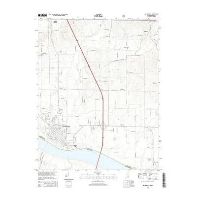 2015 Metropolis2015 Print · USGSMetropolis and the surrounding Massac County countryside are shown here along the north bank of the Ohio River in the mid-2010s. Researchers can trace numerous family burial sites such as Round Spring Cemetery or locate landmarks like Fort Massac Drive.
Showing maps 1-25 of 42
Top cities of Massac County
Frequently asked questions
- What are the different types of historical maps available for Massac County?
- What is the oldest map of Massac County?
- Where can I purchase historical maps of Massac County for my home or office?
- Where can I download high-res historical maps of Massac County?
- Are there historical topographic maps available for Massac County?
- Is there historical aerial imagery available for Massac County?
- Where are historical maps of Massac County sourced from?