Old Maps of Menard County, Illinois for Hiking & Exploration
Hike through history with 90 historic maps of Menard County. Explore old trails, ghost towns, and forgotten backroads — perfect for outdoor adventurers and local explorers.
- Rediscover forgotten places: Map out old mining camps, roads, and footpaths that no longer exist on modern maps.
- Layer with modern tools: Combine with LiDAR or satellite views to plan hikes through historical terrain.
- Made for exploration: Popular among hikers, overlanders, and local history lovers.
Use these maps to find adventure and explore the hidden past of Menard County.
Menard County, IL maps
(90)- 1907 Map of Springfield
 1907 Springfield1907 Print · USGSSpringfield and the Sangamon River valley are captured here in the early twentieth century as the region thrived on coal, rail, and state government. Researchers can locate ancestral sites at Camp Lincoln, Calvary Cemetery, and the State Fair Grounds.2 unique versions available
 - 1909 Map of Tallula
 1909 Tallula1909 Print · USGSCentral Illinois at the turn of the century shows a landscape defined by the Sangamon River and a dense rail network. Researchers can trace the early footprints of Pleasant Plains, Tallula, and Berlin, as well as several smaller stops along the Chicago and Alton RR.3 unique versions available
 - 1930 Map of Springfield
 1930 Springfield1930 Print · USGSSpringfield and its surrounding farming townships are seen here in the late twenties, captured as a vital crossroads of rail and road. Genealogists can locate family-named landmarks like Derry Farm and over two dozen country schools, including Crankneck Sch and American Hill Sch.3 unique versions available
 - 1933 Map of Petersburg, 1969 Print
 1933 Petersburg1969 Print · USGSThe Menard County landscape in the early thirties is a bustling network of prairie rail towns and riverside settlements. Genealogists and historians can trace family roots through numerous sites like Rose Hill Sch, Old Concord Cem, and the Indian Creek Mine.
 - 1938 Map of Petersburg
 1938 Petersburg1938 Print · USGSPetersburg and the Sangamon River valley are captured here in the late 1930s, showing a landscape defined by rail-stop hamlets and country schools. Researchers can trace family history through sites like Atterbury P O, the Verbrugge Mine, and Reavis Spring Sch.2 unique versions available
 - 1940 Map of Tallula, 1956 Print
 1940 Tallula1956 Print · USGSCentral Illinois during the late thirties and early forties reveals a landscape of river-bluff history and active rail towns. Genealogists can trace family connections in Tallula, Salisbury, and Berlin, or locate the historic New Salem State Park.2 unique versions available
 - 1940 Map of Springfield, 1959 Print
 1940 Springfield1959 Print · USGSSpringfield and its surrounding townships appear here as a bustling pre-war rail and aviation center. Researchers can trace family roots through numerous rural schools like Locate Lane Sch or historical sites like Lindbergh Air Mail Field and Camp Butler Cem.2 unique versions available
 - 1948 Map of Mason City, 1963 Print
 1948 Mason City1963 Print · USGSCentral Illinois farming and rail life are at the forefront of this late 1940s survey. Genealogists and local historians can trace family-named sites like Johnson Valley Mine and North Sangamon Ch, alongside a dense network of rural schools.2 unique versions available
 - 1949 Map of Mason City
 1949 Mason City1949 Print · USGSCentral Illinois rail hubs and prairie farmsteads are captured here just after the war, showing the intersection of three major railroads. Genealogists can locate family landmarks like Honey Heart School, Johnson Valley Mine, and the Irish Grove Church.2 unique versions available
 - 1958 Map of Peoria, 1969 Print
 1958 Peoria1969 Print · USGSCentral Illinois thrived as a hub of education and transport during the late sixties, as the new interstate system began to reshape the prairie. Genealogists and historians can trace local landmarks like Springdale Cem, Bradley University, and the sprawling grounds of Chanute AFB.4 unique versions available
 - 1958 Map of Decatur, 1971 Print
 1958 Decatur1971 Print · USGSCentral Illinois in the mid-twentieth century shows a landscape defined by industrial rail hubs and the creation of large reservoirs. Researchers can trace historic corridors like the Penn Central or locate landmarks such as Lincoln Log Cabin State Park and Lake Springfield.3 unique versions available
 - 1961 Map of Peoria
 1961 Peoria1961 Print · USGSCentral Illinois thrived at the intersection of river trade and rail power during the late fifties. Genealogists and local historians can trace the rail networks of the Illinois Central and Wabash, alongside landmarks like Chanute AFB and Weldon Springs State Park.
 - 1961 Map of Decatur
 1961 Decatur1961 Print · USGSCentral Illinois in the late fifties was a bustling corridor of rail lines and prairie commerce centered on the state capital. Genealogists and historians can trace the intricate connections between Springfield, Decatur, and dozens of smaller settlements like Nokomis and Arcola.2 unique versions available
 - 1963 Map of Peoria
 1963 Peoria1963 Print · USGSCentral Illinois thrived as a rail and highway crossroads during the early sixties, centered on the bustling Illinois River valley. Genealogists and historians can trace the mid-century layout of Peoria, locate the grounds of Chanute Air Force Base, and follow historic lines like the Toledo Peoria and Western Railway.
 - 1966 Map of Athens, 1967 Print
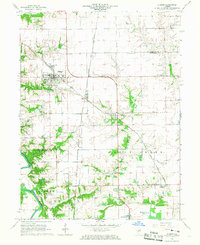 1966 Athens1967 Print · USGSNorth of Springfield in the mid-1960s, this area shows the rail junctions of Athens and Cantrall during a period of steady rural growth. Researchers can trace family history at Brittin Cem or locate the former Barr Station and the Sangamon River oxbows.3 unique versions available
 - 1966 Map of Williamsville, 1967 Print
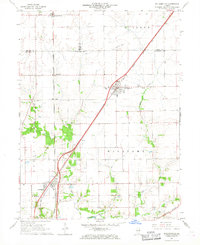 1966 Williamsville1967 Print · USGSCentral Illinois farmland in the mid-sixties shows a landscape defined by rail corridors and creek bottoms. Trace family sites near Williamsville and Sherman, including several old burial grounds like Wolf Creek Cem and Stewart Cem.3 unique versions available
 - 1970 Map of Salisbury, 1973 Print
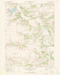 1970 Salisbury1973 Print · USGSThe Sangamon River valley in the early 1970s reveals a blend of historic pioneer sites and mid-century growth. Genealogists can trace family names through landmarks like Richland Ch, Salisbury Cem, and the heritage sites within Lincolns New Salem State Park.2 unique versions available
 - 1971 Map of Tallula, 1973 Print
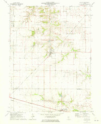 1971 Tallula1973 Print · USGSIllinois prairie life in the early seventies centers on the rail-side towns of Tallula and Ashland. Researchers can trace old family lines through numerous rural burial sites like Smedly Cem and White Cem while following the paths of the Baltimore and Ohio railroad.
 - 1971 Map of Oakford, 1973 Print
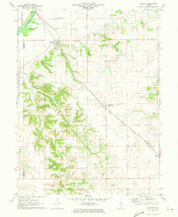 1971 Oakford1973 Print · USGSIn the early seventies, the Menard County countryside around Oakford remained a landscape of prairie rail lines and deeply etched creek hollows. Researchers can locate numerous family-named landmarks and burial sites like Watkins Cem, Bobtown, and the Atterberry rail station.
 - 1971 Map of Biggs, 1973 Print
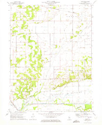 1971 Biggs1973 Print · USGSMason County at the start of the 1970s shows a landscape of river-fed bottomlands and rural rail stops. Genealogists can trace family landmarks like Baker Cem and New Lebanon Ch near the banks of Crane Creek.
 - 1971 Map of Easton, 1973 Print
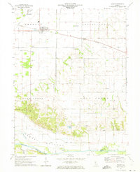 1971 Easton1973 Print · USGSThe village of Easton and the hamlet of Teheran anchor this Mason County landscape in the early seventies, dominated by the Illinois Central line. Researchers can trace rural cemetery sites like Leases Grove Cem and natural landmarks such as Revis Spring near the Sangamon River.
 - 1971 Map of Petersburg, 1973 Print
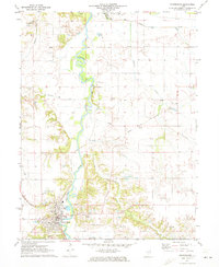 1971 Petersburg1973 Print · USGSMenard County in the early 1970s is defined by the winding Sangamon River and a dense network of early Illinois railroads. Family historians can trace numerous rural burial grounds like Rose Hill Cemetery and Baker Prairie Cem near the town of Petersburg.
 - 1980 Map of Mason City
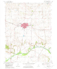 1980 Mason City1980 Print · USGSMason City stands at the crossing of two major rail lines in 1980, anchoring a landscape of fertile prairie and creek bottoms. Genealogists can locate family plots at Cherry Grove Cem or Swing Grove Cem, and trace the path of Salt Creek down to Hubly.
 - 1980 Map of New Holland
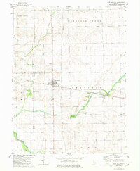 1980 New Holland1980 Print · USGSNew Holland and the surrounding townships of Logan and Mason counties are shown here at the start of the 1980s. Researchers can trace old transit lines like the Old Railroad Grade or locate family sites at Stephens Cemetery and Pool Hill.
 - 1980 Map of Greenview
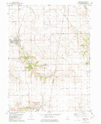 1980 Greenview1980 Print · USGSThe Menard County prairie is captured here in the 1980s, centered on the rail hub of Greenview and the surrounding farmland. Researchers can trace rural lineages at Sugar Grove Cem or locate industrial sites like the large Quarry near Indian Point.
Showing maps 1-25 of 90
Top cities of Menard County
- Petersburg historical maps
- Athens historical maps
- Greenview historical maps
- Tallula historical maps
- Oakford historical maps
Frequently asked questions
- What are the different types of historical maps available for Menard County?
- What is the oldest map of Menard County?
- Where can I purchase historical maps of Menard County for my home or office?
- Where can I download high-res historical maps of Menard County?
- Are there historical topographic maps available for Menard County?
- Is there historical aerial imagery available for Menard County?
- Where are historical maps of Menard County sourced from?