Old Maps of Hilltop, Illinois for Hiking & Exploration
Hike through history with 14 historic maps of Hilltop. Explore old trails, ghost towns, and forgotten backroads — perfect for outdoor adventurers and local explorers.
- Rediscover forgotten places: Map out old mining camps, roads, and footpaths that no longer exist on modern maps.
- Layer with modern tools: Combine with LiDAR or satellite views to plan hikes through historical terrain.
- Made for exploration: Popular among hikers, overlanders, and local history lovers.
Use these maps to find adventure and explore the hidden past of Hilltop.
Hilltop, IL maps
(14)- 1933 Map of Petersburg, 1969 Print
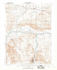 1933 Petersburg1969 Print · USGSThe Menard County landscape in the early thirties is a bustling network of prairie rail towns and riverside settlements. Genealogists and historians can trace family roots through numerous sites like Rose Hill Sch, Old Concord Cem, and the Indian Creek Mine.
 - 1938 Map of Petersburg
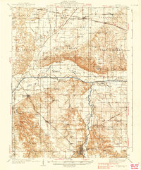 1938 Petersburg1938 Print · USGSPetersburg and the Sangamon River valley are captured here in the late 1930s, showing a landscape defined by rail-stop hamlets and country schools. Researchers can trace family history through sites like Atterbury P O, the Verbrugge Mine, and Reavis Spring Sch.2 unique versions available
 - 1958 Map of Peoria, 1969 Print
 1958 Peoria1969 Print · USGSCentral Illinois thrived as a hub of education and transport during the late sixties, as the new interstate system began to reshape the prairie. Genealogists and historians can trace local landmarks like Springdale Cem, Bradley University, and the sprawling grounds of Chanute AFB.4 unique versions available
 - 1961 Map of Peoria
 1961 Peoria1961 Print · USGSCentral Illinois thrived at the intersection of river trade and rail power during the late fifties. Genealogists and local historians can trace the rail networks of the Illinois Central and Wabash, alongside landmarks like Chanute AFB and Weldon Springs State Park.
 - 1963 Map of Peoria
 1963 Peoria1963 Print · USGSCentral Illinois thrived as a rail and highway crossroads during the early sixties, centered on the bustling Illinois River valley. Genealogists and historians can trace the mid-century layout of Peoria, locate the grounds of Chanute Air Force Base, and follow historic lines like the Toledo Peoria and Western Railway.
 - 1971 Map of Oakford, 1973 Print
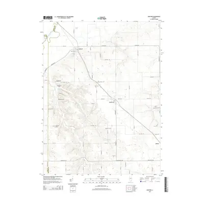
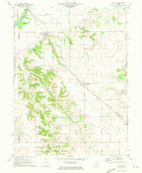 1971 Oakford1973 Print · USGSIn the early seventies, the Menard County countryside around Oakford remained a landscape of prairie rail lines and deeply etched creek hollows. Researchers can locate numerous family-named landmarks and burial sites like Watkins Cem, Bobtown, and the Atterberry rail station.
 - 1985 Map of Lincoln
 1985 Lincoln1985 Print · USGSMid-century Illinois comes to life in this survey of Logan and Mason counties as the interstate era reshapes the prairie. Genealogists and historians can trace rail-town development from San Jose to Kenney or locate landmarks like Rose Hill Cem and Funks Grove.
 - 1989 Map of Lincoln
 1989 Lincoln1989 Print · USGSCentral Illinois in the late eighties remains a landscape of productive prairie and vital river arteries. Genealogists and local historians can trace rural family landmarks like Rose Hill Cem, identify early aviation at Logan County Airport, or follow the Illinois Central Gulf Railroad through towns like Atlanta and Lincoln.
 - 1990 Map of Peoria
 1990 Peoria1990 Print · USGSCentral Illinois at the start of the nineties reveals a landscape of industrial river towns and sprawling university campuses. Researchers can trace the legacy of major institutions like Chanute Air Force Base and the University of Illinois alongside regional landmarks such as Sand Ridge State Forest.
 - 2012 Map of Oakford, 2012 Print
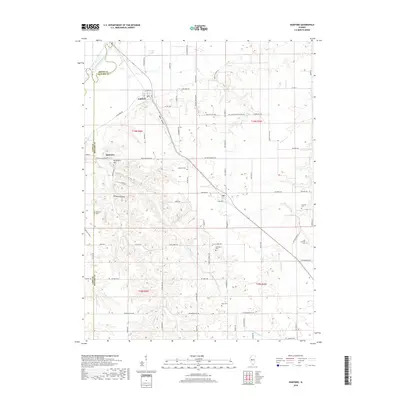
 2012 Oakford2012 Print · USGSCovers Hilltop, including Oakford, Bobtown, and other nearby areas
 - 2015 Map of Oakford, 2015 Print
 2015 Oakford2015 Print · USGSCovers Hilltop, including Oakford, Bobtown, and other nearby areas
 - 2018 Map of Oakford, 2018 Print
 2018 Oakford2018 Print · USGSCovers Hilltop, including Oakford, Bobtown, and other nearby areas
 - 2021 Map of Oakford, 2021 Print
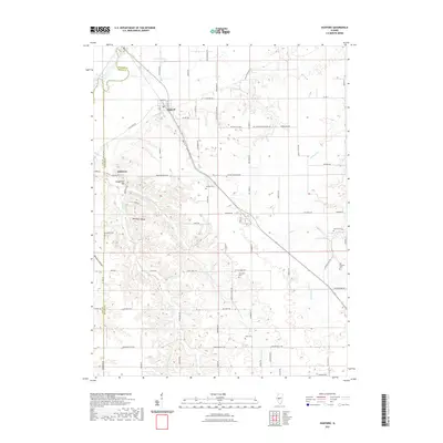 2021 Oakford2021 Print · USGSCovers Hilltop, including Oakford, Bobtown, and other nearby areas
 - 2024 Map of Oakford, 2024 Print
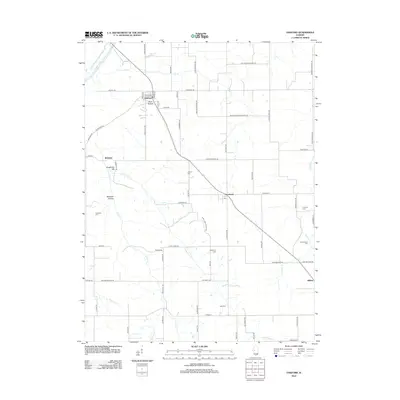
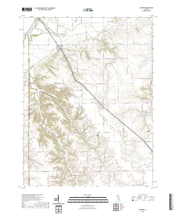 2024 Oakford2024 Print · USGSIn the central Illinois heartland during the early 2020s, this area shows a landscape of river-fed agriculture and deep-rooted rural communities. Researchers can locate numerous family burial sites and landmarks like Watkins Cem, Mott Hollow, and the settlement of Bobtown.
End of results
Showing maps 1-14 of 14
Top cities near Hilltop
- Springfield historical maps
- Mason City historical maps
- Petersburg historical maps
- Athens historical maps
- Ashland historical maps
- Greenview historical maps
See more
Frequently asked questions
- What are the different types of historical maps available for Hilltop?
- What is the oldest map of Hilltop?
- Where can I purchase historical maps of Hilltop for my home or office?
- Where can I download high-res historical maps of Hilltop?
- Are there historical topographic maps available for Hilltop?
- Is there historical aerial imagery available for Hilltop?
- Where are historical maps of Hilltop sourced from?