2020s Maps of Monroe County, Illinois
Explore 27 historic maps of Monroe County from the 2020s. These maps offer a rare glimpse into what life looked like during the 2020s — showing old roads, neighborhoods, homes, and landmarks that have changed or disappeared over time.
Whether you're researching your family's past, planning a metal detecting trip, or studying how Monroe County's landscape evolved across the 2020s, these high-resolution maps are a powerful tool for exploring the history of this region.
- Focus on a specific era: All maps on this page are from the 2020s, giving you a focused view of this time period.
- See what’s changed: Compare century-old streets, trails, and buildings to today's modern landscape using overlays and satellite layers.
- Research with precision: Use these maps for genealogy, historical research, land use analysis, or educational projects.
- View, download, or print: Maps are fully viewable online in high resolution, and can be downloaded or printed for your own records.
Start exploring Monroe County's history through authentic maps from the 2020s. This is your window into the past.
Monroe County, IL maps
(27)- 2021 Map of Millstadt, 2021 Print
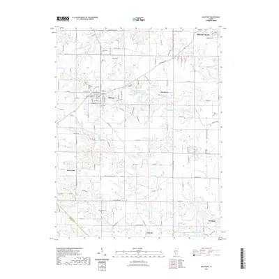 2021 Millstadt2021 Print · USGSSouthern Saint Clair County is documented here in the early 2020s, revealing a landscape of established villages and generational homesteads. Local historians can trace family lineages through numerous sites like Mount Evergreen Cem, Saxtown Cem, and High Prairie Cem.
 - 2021 Map of Ames, 2021 Print
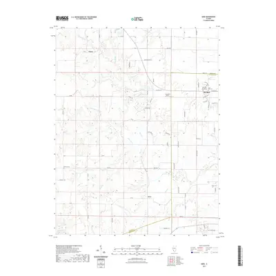 2021 Ames2021 Print · USGSSouthwestern Illinois farm country and the growing city of Red Bud are documented here in recent detail. Genealogists and local historians can trace family plots at Saint Peter Cem or follow the rural road network connecting Tipton to Ames.
 - 2021 Map of Renault, 2021 Print
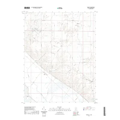 2021 Renault2021 Print · USGSMonroe County's bluff country and agricultural bottomlands appear in clear detail in this recent survey. Researchers can trace family sites at Grant Pass Cem and Studt Cem or explore the rural layout of Maeystown and Renault.
 - 2021 Map of Paderborn, 2021 Print
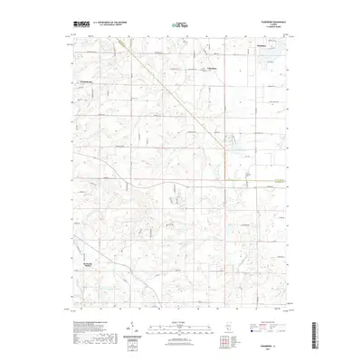 2021 Paderborn2021 Print · USGSMonroe and St. Clair counties appear here in the early twenty-first century, showing a landscape of traditional farmsteads and growing rural communities. Genealogists can locate several historic burial sites, including Saint Michaels Cem in Paderborn and Saint Augustine Cem further south.
 - 2021 Map of Columbia, 2021 Print
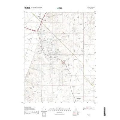 2021 Columbia2021 Print · USGSMonroe and St. Clair Counties are documented here in the early twenty-first century as the area balances its industrial rail roots with growing suburban residential patterns. Researchers can trace family sites at McConkey Cem or Warderman Cem, and follow the old rail path of the Illinois Central Gulf.
 - 2021 Map of Red Bud, 2021 Print
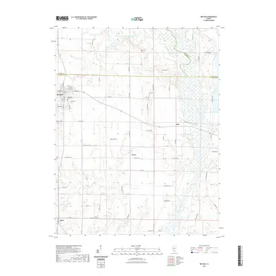 2021 Red Bud2021 Print · USGSRandolph County life is captured here in the early twenty-first century as the city of Red Bud meets the fertile Horse Prairie. Genealogists can trace family landmarks and rural cemeteries like Brickey Cem, Rails Cem, and the riverfront settlement of Grigg.
 - 2021 Map of New Athens West, 2021 Print
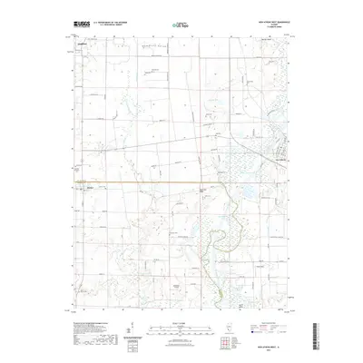 2021 New Athens West2021 Print · USGSSouthwestern Illinois farmland meets the winding Kaskaskia River valley in this recent survey of the rural landscape between Smithton and Hecker. Genealogists and historians can trace numerous family burial sites like Talbot Cem and Leilich Cem alongside river features such as Stubblefield Lake.
 - 2021 Map of Valmeyer, 2021 Print
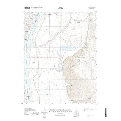 2021 Valmeyer2021 Print · USGSThe Mississippi River corridor near the Missouri-Illinois border is documented here in the early twenty-first century. Researchers can trace land tracts and local heritage near Valmeyer, Moredock Lake, and historic cemeteries like Eagle Cliff Cem.
 - 2021 Map of Waterloo, 2021 Print
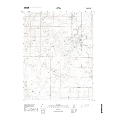 2021 Waterloo2021 Print · USGSMonroe County's seat and surrounding rural hamlets are meticulously documented in this early twenty-first-century survey. Genealogists can trace family names and locations through landmarks like the Monroe County Courthouse, Wartburg, and the New Design Historical Cem.
 - 2021 Map of Cahokia, 2021 Print
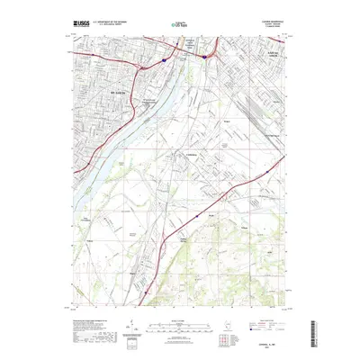 2021 Cahokia2021 Print · USGSThe Illinois riverfront across from St. Louis reveals a landscape defined by industrial development and the broad American Bottoms floodplain. Trace the growth of Cahokia and Dupo alongside local landmarks like Holy Family Cem and the St Louis Downtown Airport.
 - 2021 Map of Prairie du Rocher, 2021 Print
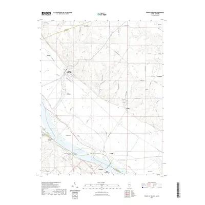 2021 Prairie du Rocher2021 Print · USGSThe Illinois-Missouri borderlands along the Mississippi River are shown here in recent detail, from the historic French colonial village of Prairie du Rocher to the bluffs of Ste. Genevieve. Researchers can trace the drainage of The Discharge or locate landmarks like Cow-Shank Natural Bridge and Modoc.
 - 2021 Map of Selma, 2021 Print
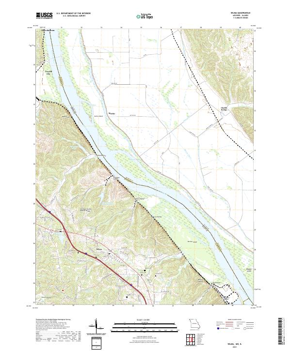 2021 Selma2021 Print · USGSThe bluffs of Jefferson County overlook the Mississippi River and the Illinois bottoms in the early 2020s. Genealogists can trace family names through numerous sites like Barsotti Cem, Wagoner Cem, and the Cliffdale Hollow Natural Bridge.
 - 2021 Map of Oakville, 2021 Print
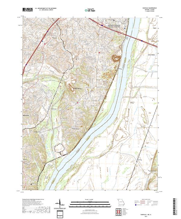 2021 Oakville2021 Print · USGSThe confluence of the Meramec and Mississippi Rivers comes to life in this contemporary study of the Missouri and Illinois borderlands. Genealogists and local historians can trace family markers at Saint Paul Cem or explore the riverfront near Cliff Cave and Chesley Island.
 - 2021 Map of Bloomsdale, 2021 Print
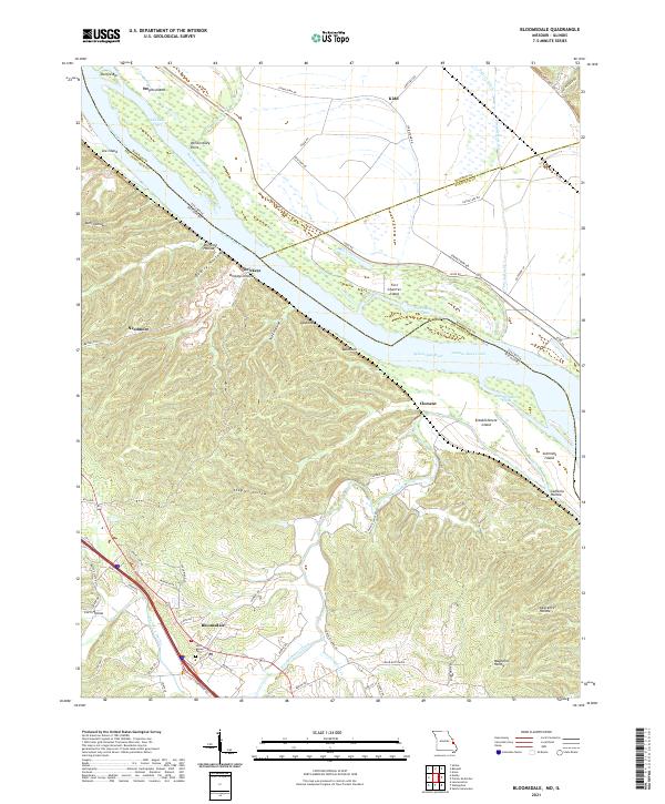 2021 Bloomsdale2021 Print · USGSThe Mississippi River bottoms and Ste. Genevieve County bluffs are shown here in recent detail. Researchers can trace landforms and local history near Bloomsdale, from the Saint Agnes Cem to river features like Fort Chartres Island and Brickeys.
 - 2021 Map of Webster Groves, 2021 Print
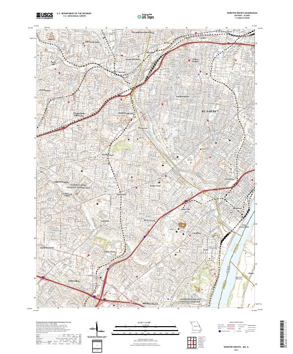 2021 Webster Groves2021 Print · USGSSt. Louis County is captured here in its modern suburban complexity, from the academic halls of Webster University to the historic grounds of Affton. Genealogists can trace family names across Sappington Grave Yard, Resurrection Cem, and Jefferson Barracks National Cemetery.
 - 2021 Map of Danby, 2021 Print
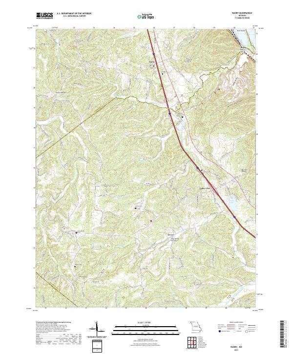 2021 Danby2021 Print · USGSThe eastern Ozark foothills come into focus in the early 2020s, revealing a landscape of winding hollows and rural crossroad communities. Researchers can trace family history through a network of local sites like Lebanon Baptist Cem, Danby Cem, and Skaggs Spring.
 - 2024 Map of Red Bud, 2024 Print
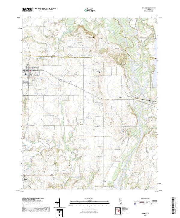 2024 Red Bud2024 Print · USGSRed Bud and the surrounding river bottomlands are captured here in the early twenty-first century as agricultural traditions meet modern growth. Genealogists can trace family landmarks and burial sites across Horse Prairie, including Saint Johns Lutheran Cem, Brickey Cem, and the settlement of Ruma.
 - 2024 Map of Ames, 2024 Print
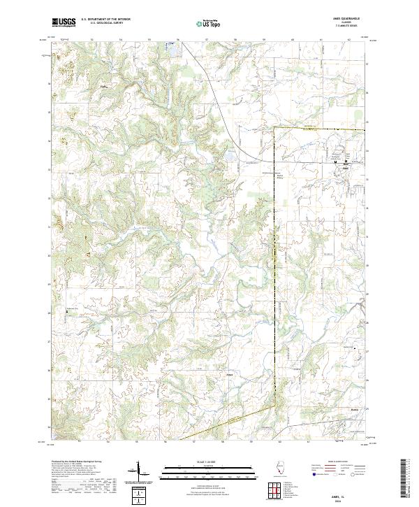 2024 Ames2024 Print · USGSMonroe and Randolph Counties are shown in the early twenty-first century as a landscape of rural settlements and winding creek valleys. Researchers can trace family history at Rebenack Cem or Saint Peter Cem and locate landmarks like Duclos Airport and the village of Ames.
 - 2024 Map of Prairie du Rocher, 2024 Print
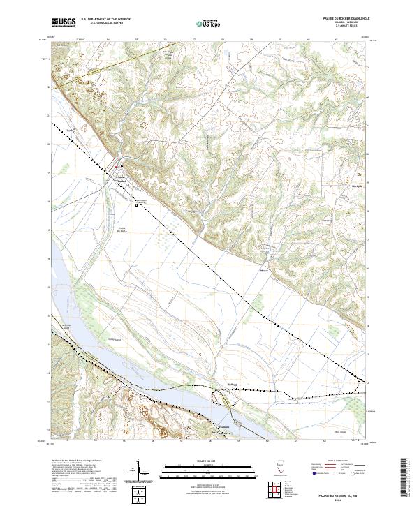 2024 Prairie du Rocher2024 Print · USGSThe Illinois river bottoms and bluffs near Prairie du Rocher are shown here in recent detail. Genealogists and historians can locate Saint Joseph's Catholic Cem, trace the drainage of The Discharge, and find landforms like Cow Shank Natural Bridge.
 - 2024 Map of Columbia, 2024 Print
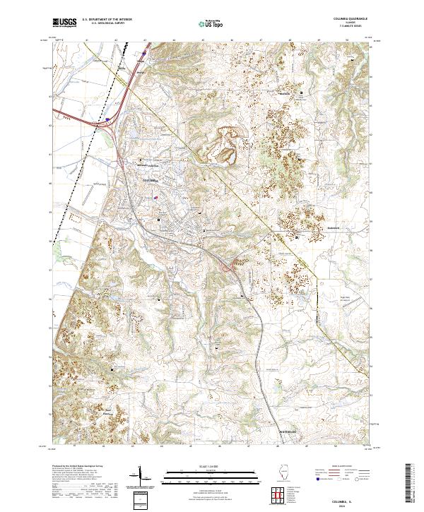 2024 Columbia2024 Print · USGSModern-day Columbia and Waterloo appear here along the Monroe and St. Clair county line. Researchers can trace family history at Lark Cem, Wilson-Divers Cem, and through the rail corridor at Millstadt Junction.
 - 2024 Map of Renault, 2024 Print
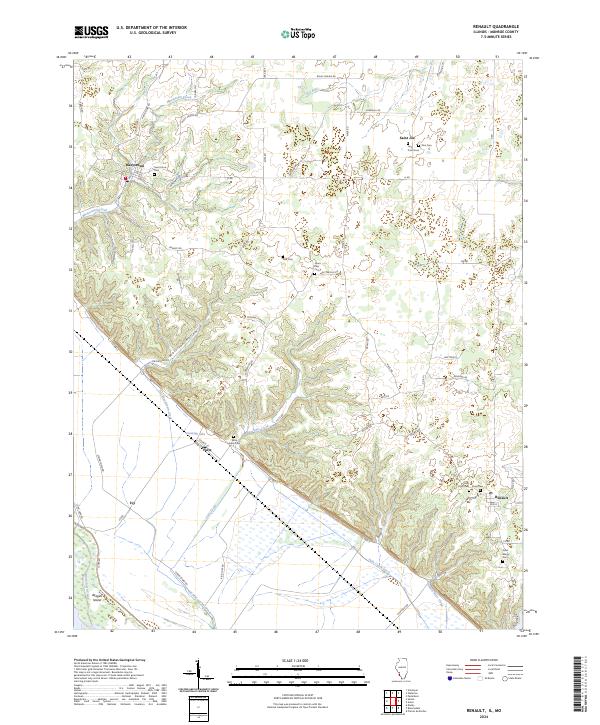 2024 Renault2024 Print · USGSMonroe County's rugged bluff country and river bottoms are captured here in the early twenty-first century. Researchers can locate several historic burial sites like Dick Cem and Studt Cem alongside settlements at Maeystown and Fults.
 - 2024 Map of Millstadt, 2024 Print
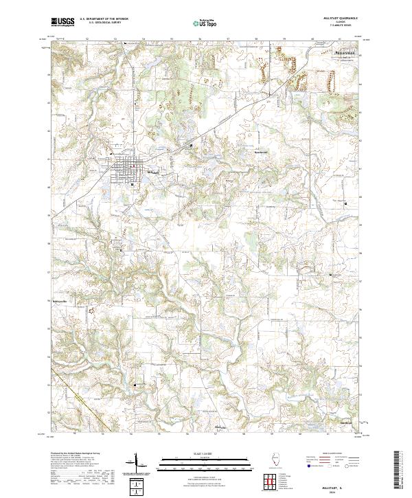 2024 Millstadt2024 Print · USGSThe rural landscape south of Belleville is documented here in the early twenty-first century, showcasing a patchwork of farms and growing townships. Genealogists can locate numerous burial grounds and local landmarks like Saxtown Cem, Freivogel Cem, and the Concordia Church.
 - 2024 Map of New Athens West, 2024 Print
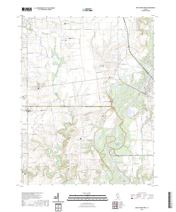 2024 New Athens West2024 Print · USGSThe rural border of St. Clair and Monroe counties is mapped here during its modern agricultural era. Genealogists can trace family heritage through numerous burial sites like Saint Marcus Cem, Hecker Cem, and Stehfest Freedom Cem along the Kaskaskia River valley.
 - 2024 Map of Waterloo, 2024 Print
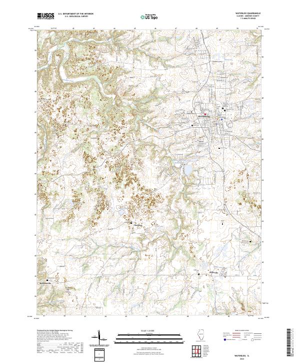 2024 Waterloo2024 Print · USGSWaterloo and its rural Monroe County neighbors are mapped here in the modern era, showing the balance between civic growth and traditional landscapes. Researchers can trace family sites at the New Design Historical Cem, Burksville Cem, or the landmark Monroe County Courthouse.
 - 2024 Map of Paderborn, 2024 Print
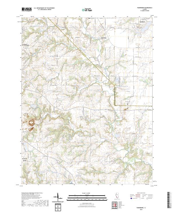 2024 Paderborn2024 Print · USGSThe borderlands of Monroe and St. Clair counties come into focus in this contemporary survey of a rural Illinois landscape. Researchers can locate family heritage sites like Saint Michaels Cem, trace the meandering Prairie du Long Creek, or explore the areas around Paderborn and Smithton.
Showing maps 1-25 of 27
Top cities of Monroe County
- Columbia historical maps
- Waterloo historical maps
- Valmeyer historical maps
- Maeystown historical maps
- Fults historical maps
Frequently asked questions
- What are the different types of historical maps available for Monroe County?
- What is the oldest map of Monroe County?
- Where can I purchase historical maps of Monroe County for my home or office?
- Where can I download high-res historical maps of Monroe County?
- Are there historical topographic maps available for Monroe County?
- Is there historical aerial imagery available for Monroe County?
- Where are historical maps of Monroe County sourced from?