2010s Maps of Monroe County, Illinois
Explore 48 historic maps of Monroe County from the 2010s. These maps offer a rare glimpse into what life looked like during the 2010s — showing old roads, neighborhoods, homes, and landmarks that have changed or disappeared over time.
Whether you're researching your family's past, planning a metal detecting trip, or studying how Monroe County's landscape evolved across the 2010s, these high-resolution maps are a powerful tool for exploring the history of this region.
- Focus on a specific era: All maps on this page are from the 2010s, giving you a focused view of this time period.
- See what’s changed: Compare century-old streets, trails, and buildings to today's modern landscape using overlays and satellite layers.
- Research with precision: Use these maps for genealogy, historical research, land use analysis, or educational projects.
- View, download, or print: Maps are fully viewable online in high resolution, and can be downloaded or printed for your own records.
Start exploring Monroe County's history through authentic maps from the 2010s. This is your window into the past.
Monroe County, IL maps
(48)- 2012 Map of Bloomsdale, 2012 Print
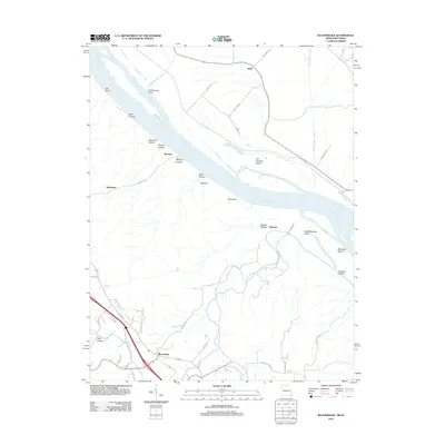 2012 Bloomsdale2012 Print · USGSThe riverfront and uplands of Ste. Genevieve County are documented here during the early twenty-first century. Researchers can trace land patterns around Bloomsdale and find river-centric landmarks like Fort Chartres Island, Backbone, and the small community of Brickeys.
 - 2012 Map of Danby, 2012 Print
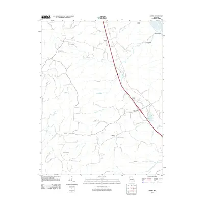 2012 Danby2012 Print · USGSSte. Genevieve County at the start of the 2010s reveals a quiet landscape of rural settlements and family-named hollows. Genealogists can locate several burial sites like Hoover Cemetery and Moeller Cemetery, or trace the winding course of Saline Creek.
 - 2012 Map of Oakville, 2012 Print
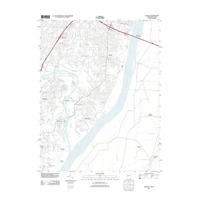 2012 Oakville2012 Print · USGSThe confluence of the Meramec and Mississippi rivers south of Saint Louis is captured here in the early twenty-first century. Genealogists and researchers can trace the grounds of Jefferson Barracks National Cemetery or locate family sites near Saint Pauls Cemetery and Cliff Cave.
 - 2012 Map of Selma, 2012 Print
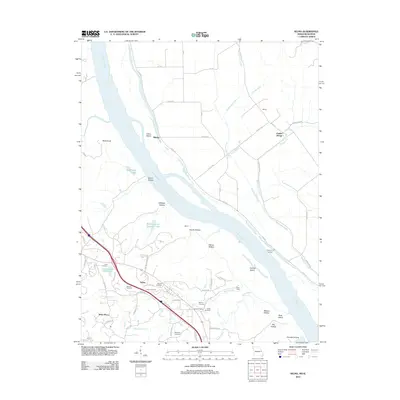 2012 Selma2012 Print · USGSThe Mississippi River corridor comes into sharp focus during the early 2010s, revealing a landscape of historic river landings and family cemeteries. Genealogists can trace deep local roots at Cook and Wagoner Cemetery, or locate old river points like Kemper Landing and Rush Tower.
 - 2012 Map of Webster Groves, 2012 Print
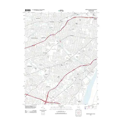 2012 Webster Groves2012 Print · USGSThe Missouri suburbs south of the city appear here in the early twenty-first century, showing a landscape defined by historic estates and large memorial grounds. Genealogists can locate numerous burial sites like Sunset Burial Park and Saint Paul Cemetery near the grounds of Grants Farm.
 - 2012 Map of Red Bud, 2012 Print
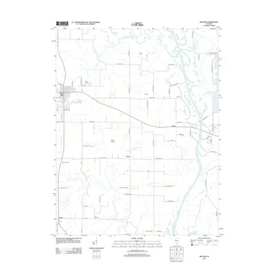 2012 Red Bud2012 Print · USGSRandolph County's agricultural heartland and the Kaskaskia River valley are documented here in the early twenty-first century. Genealogists and local historians can trace rural family roots through Saint John Cem, the small community of Ruma, and landmarks like the Voges Airstrip.
 - 2012 Map of Waterloo, 2012 Print
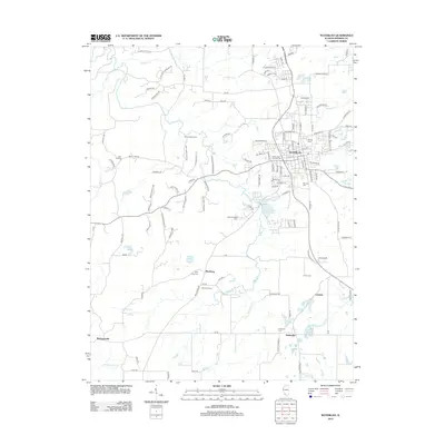 2012 Waterloo2012 Print · USGSMonroe County enters the early twenty-first century with its historic rural character intact around the growing hub of Waterloo. Family historians can locate several local burial grounds including Lemen Cem, Moores Cem, and the church at Wartburg.
 - 2012 Map of Ames, 2012 Print
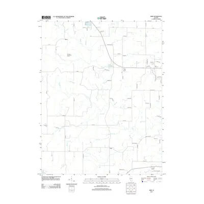 2012 Ames2012 Print · USGSThe rural expanses of Randolph County are captured here in the early twenty-first century, centered on the communities of Ames and Tipton. Genealogists and local historians can trace family roots at Saint Johns Cem or find aviation landmarks like Our Lady Immaculata Airport.
 - 2012 Map of Valmeyer, 2012 Print
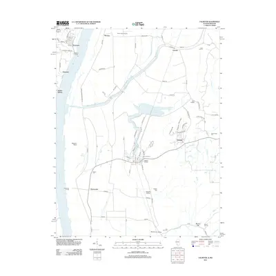 2012 Valmeyer2012 Print · USGSThe Illinois-Missouri borderlands along the Mississippi River are shown here in the early twenty-first century, just as local infrastructure and rural hamlets were evolving. Researchers can trace family history through Saint Johns Cem and explore the riverfront at Harrisonville Landing or Waters Point.
 - 2012 Map of New Athens West, 2012 Print
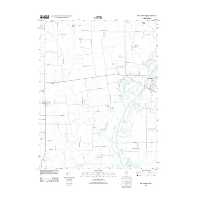 2012 New Athens West2012 Print · USGSSouthwestern Illinois during the early twenty-first century reveals a landscape defined by the winding Kaskaskia River and a deep network of family homesteads. Genealogists and local historians can trace numerous rural burial sites including Saint Marcus Cem, Darmstatter Cem, and Tammora Cem.
 - 2012 Map of Paderborn, 2012 Print
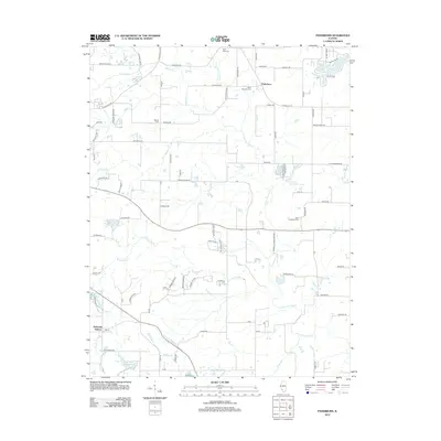 2012 Paderborn2012 Print · USGSMonroe County was characterized by its quiet rural settlements and established parish life during the early twenty-first century. Researchers can trace ancestral roots at Saint Michaels Cem and Saint Augustine Cem, or locate landmarks like Burksville Station.
 - 2012 Map of Renault, 2012 Print
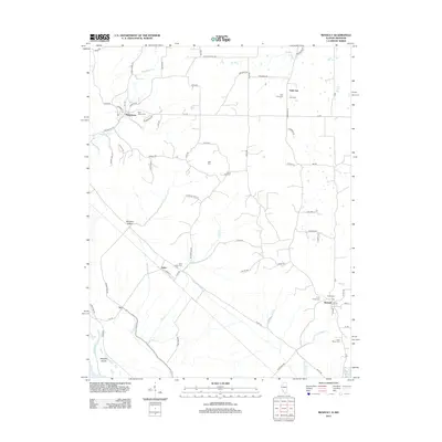 2012 Renault2012 Print · USGSMonroe County, Illinois, is shown in the early twenty-first century as a landscape of rural villages and historic burial grounds. Genealogists can trace family connections at Saint Johns Cem, Zion Cem, and the small settlement of Saint Joe.
 - 2012 Map of Prairie du Rocher, 2012 Print
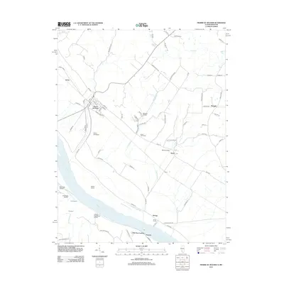 2012 Prairie du Rocher2012 Print · USGSThe Mississippi River bottoms and adjacent bluffs come into focus in 2012, showing the enduring layout of French colonial-era settlements. Researchers can trace river landings such as Mudds Landing, the ancient Modoc Rock Shelter, and the small community of Marigold.
 - 2012 Map of Cahokia, 2012 Print
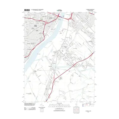 2012 Cahokia2012 Print · USGSThe riverfront and urban districts of Missouri and Illinois are captured here in the early twenty-first century. Genealogists and local researchers can trace the neighborhoods of Soulard and Lafayette Square or locate family sites at Holy Family Cem and Saint Joseph Cem.
 - 2012 Map of Columbia, 2012 Print
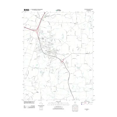 2012 Columbia2012 Print · USGSMonroe County enters the early twenty-first century with a mix of established town centers and rural homesteads. Genealogists and local historians can trace family plots at Baltz Cem or Shoemaker Cem and locate vanished stopovers like Millstadt Junction.
 - 2012 Map of Millstadt, 2012 Print
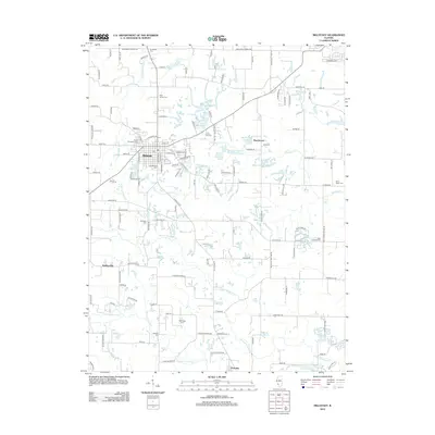 2012 Millstadt2012 Print · USGSSouthern Saint Clair County is shown in this early 21st-century record of its agricultural and village life. Researchers can trace family ties through numerous rural sites like Saxtown Cem, High Prairie Cem, and the small settlement of Bohleysville.
 - 2015 Map of Bloomsdale, 2015 Print
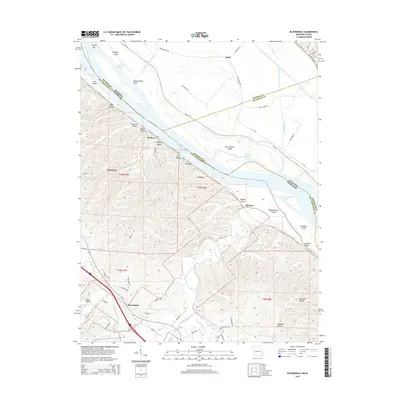 2015 Bloomsdale2015 Print · USGSThe Missouri-Illinois borderlands come into focus in the mid-2010s, showing a river landscape defined by chutes and islands. Genealogists and local historians can trace family-named hollows and settlements like Bloomsdale, Brickeys, and Clement.
 - 2015 Map of Oakville, 2015 Print
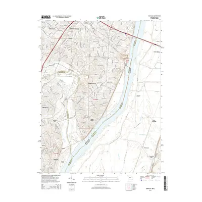 2015 Oakville2015 Print · USGSSaint Louis County meets the Illinois border at the confluence of the Mississippi River and Meramec River in the mid-2010s. Local researchers can trace residential growth around Oakville and Mehlville, or locate family sites at New Saint Johns Cemetery and Saint Josephs Cemetery.
 - 2015 Map of Danby, 2015 Print
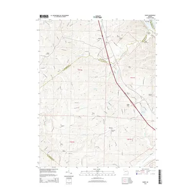 2015 Danby2015 Print · USGSIn the mid-2010s, this portion of Ste. Genevieve and Jefferson counties reveals a landscape of deep hollows and rural crossroad settlements. Researchers can trace ancestral locations near several local burial sites, including Bockenkamp Cemetery, Moeller Cemetery, and the community of Danby.
 - 2015 Map of Webster Groves, 2015 Print
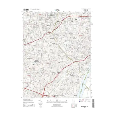 2015 Webster Groves2015 Print · USGSSaint Louis County is shown in detail during its modern era of suburban density and historic preservation. Genealogists can trace family names through dozens of sites like the Sappington Grave Yard, Park Cemetery, and New Saint Marcus Cemetery.
 - 2015 Map of Selma, 2015 Print
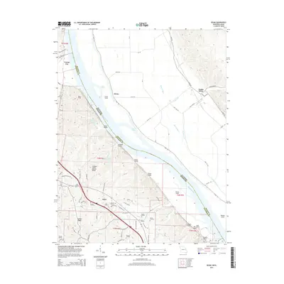 2015 Selma2015 Print · USGSThe bluffs and bottoms of the Mississippi River are captured here in 2015, highlighting the border between Jefferson and Monroe counties. Researchers can locate numerous family burial sites like Lucas Cemetery and Griffin Cemetery or trace landmarks like Cliffdale Hollow Natural Bridge.
 - 2015 Map of Renault, 2015 Print
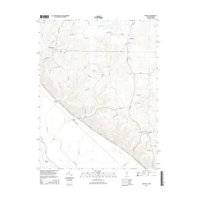 2015 Renault2015 Print · USGSMonroe County settlements and bluff-side cemeteries are documented here in the mid-2010s. Genealogists can trace family names at the Dick Cem, Grant Pass Cem, and Studt Cem or explore the historic street layout of Maeystown.
 - 2015 Map of Ames, 2015 Print
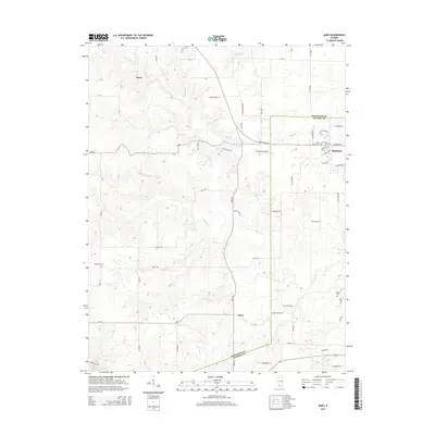 2015 Ames2015 Print · USGSThe rural borderlands of Randolph and Monroe Counties are captured here in the mid-2010s. Genealogists can locate several local burial sites like Saint Johns Cem and Nelson Cem, or trace the drainage of Horse Cr near Ames.
 - 2015 Map of Paderborn, 2015 Print
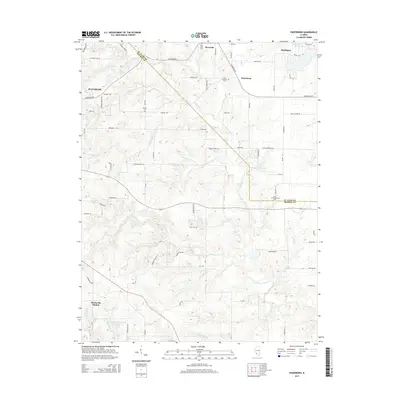 2015 Paderborn2015 Print · USGSSouthern Illinois farmlands between Waterloo and Smithton are preserved here in the mid-2010s, showing the intersection of rural heritage and modern growth. Genealogists can trace family connections through sites like Saint Paul Cem and the small settlement of Floraville.
 - 2015 Map of Columbia, 2015 Print
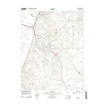 2015 Columbia2015 Print · USGSColumbia and Waterloo sit along the bluff line above the American Bottoms in the mid-2010s. Genealogists can trace family heritage through local burial sites like Shoemaker Cem, Baltz Cem, and the New Hanover Cem.
Showing maps 1-25 of 48
Top cities of Monroe County
- Columbia historical maps
- Waterloo historical maps
- Valmeyer historical maps
- Maeystown historical maps
- Fults historical maps
Frequently asked questions
- What are the different types of historical maps available for Monroe County?
- What is the oldest map of Monroe County?
- Where can I purchase historical maps of Monroe County for my home or office?
- Where can I download high-res historical maps of Monroe County?
- Are there historical topographic maps available for Monroe County?
- Is there historical aerial imagery available for Monroe County?
- Where are historical maps of Monroe County sourced from?