Old Maps of Gays, Illinois for Genealogy
Trace your family roots with 21 historic maps of Gays. These high-res maps reveal old neighborhoods, homesites, landmarks, and streets — helping you uncover where your ancestors lived and how the area evolved over time.
- Explore historic neighborhoods: Identify where your relatives may have lived in the 1800s or 1900s.
- Compare maps over time: Trace the changes in streets, buildings, and landmarks for multi-generational research.
- Perfect for genealogy & ancestry research: Used by family historians and researchers to map out lineage and migration.
These maps are an incredible resource for exploring your personal connection to Gays's past.
Gays, IL maps
(21)- 1934 Map of Mattoon, 1967 Print
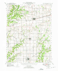
 1934 Mattoon1967 Print · USGSThe rail hubs and rural townships of East Central Illinois are captured here in the mid-1930s. Genealogists and local historians can trace the foundations of Mattoon and Neoga while locating family landmarks like Old Bethel Ch or the Little Brick Sch.2 unique versions available
 - 1937 Map of Mattoon
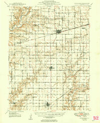
 1937 Mattoon1937 Print · USGSThe rail hubs of Mattoon and Neoga are shown in the late 1930s, surrounded by a dense network of country schools and family cemeteries. Trace ancestral roots at Aetna Etna PO, Johnstown, or the many rural schoolhouses like South Loxa Sch.3 unique versions available
 - 1947 Map of Stewardson, 1965 Print
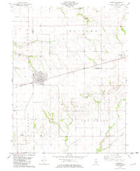
 1947 Stewardson1965 Print · USGSMid-century Shelby County is mapped here as a thriving agricultural landscape defined by its rural schools and rail junctions. Genealogists can locate family landmarks like Rincker Cem and East Salem School, or trace the rail lines through Stewardson.
 - 1949 Map of Stewardson
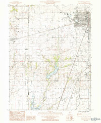
 1949 Stewardson1949 Print · USGSShelby and Moultrie counties thrive as a vital rail and farming hub at the close of the 1940s. Researchers can locate dozens of country landmarks like Jordan Chapel, Rincker Cem, and North Liberty Sch along the region's busy rail lines.2 unique versions available
 - 1958 Map of Decatur, 1971 Print
 1958 Decatur1971 Print · USGSCentral Illinois in the mid-twentieth century shows a landscape defined by industrial rail hubs and the creation of large reservoirs. Researchers can trace historic corridors like the Penn Central or locate landmarks such as Lincoln Log Cabin State Park and Lake Springfield.3 unique versions available
 - 1961 Map of Decatur
 1961 Decatur1961 Print · USGSCentral Illinois in the late fifties was a bustling corridor of rail lines and prairie commerce centered on the state capital. Genealogists and historians can trace the intricate connections between Springfield, Decatur, and dozens of smaller settlements like Nokomis and Arcola.2 unique versions available
 - 1981 Map of Windsor, 1982 Print
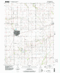
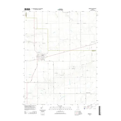
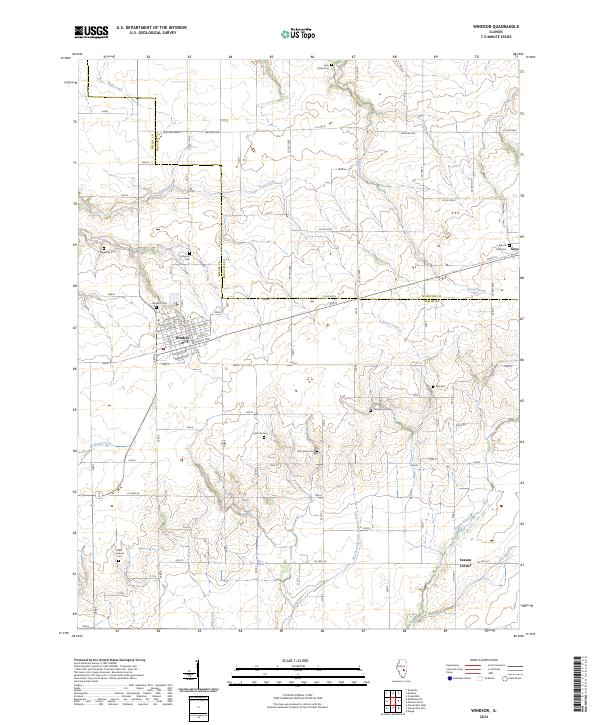
 1981 Windsor1982 Print · USGSShelby and Moultrie counties are captured here in the early eighties, centered on the railroad town of Windsor. Local historians can trace family roots through numerous remote burial sites like Lookout Point Cem, Cochran Cem, and the rural community of Sexson Corner.
 - 1984 Map of Mattoon West, 1985 Print
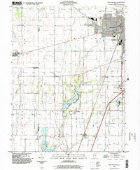
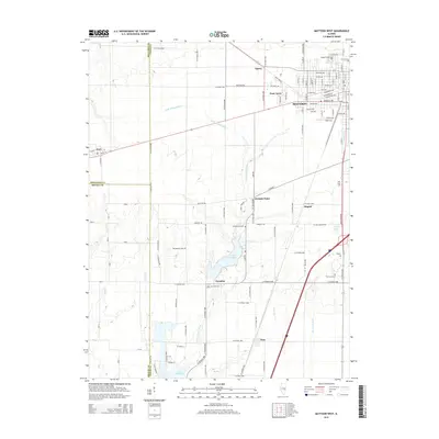
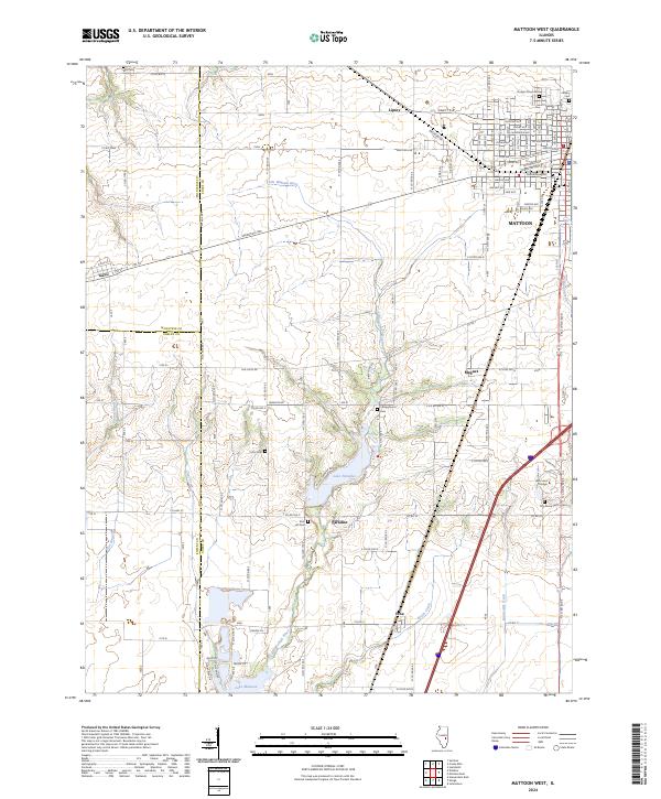
 1984 Mattoon West1985 Print · USGSThe western edge of Mattoon and its neighboring rural townships are captured here in the early 1980s. Local researchers can trace the development of Lake Land Jr College, the expansion of the Oil Field, and rail-side settlements like Gays and Etna.
 - 1986 Map of Effingham
 1986 Effingham1986 Print · USGSCentral Illinois during the mid-eighties was a hub of rail travel and water recreation centered on the new reservoirs. Genealogists and historians can trace the rural landscape between Mattoon and Effingham, locating landmarks like St Paul Ch and Eagle Creek State Park.2 unique versions available
 - 1998 Map of Mattoon West, 2002 Print
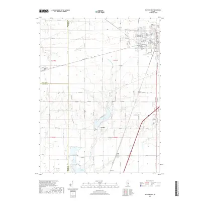
 1998 Mattoon West2002 Print · USGSMattoon and the prairie townships of Coles County are captured here at the close of the millennium. Local historians can trace the development of Lake Land Jr College and old rail stops like Gays and Etna alongside the waters of Paradise Lake.
 - 1998 Map of Windsor, 2003 Print
 1998 Windsor2003 Print · USGSWindsor and the surrounding prairie of Shelby and Moultrie counties are captured here in the late 1990s as modern utilities met traditional farming. Researchers can locate numerous family burial grounds including Moberley Cem and Cochran Cem, or trace the rural crossroads at Sexson Corner.
 - 2012 Map of Mattoon West, 2012 Print
 2012 Mattoon West2012 Print · USGSCovers Gays, including Mattoon, Paradise, and other nearby areas
 - 2012 Map of Windsor, 2012 Print
 2012 Windsor2012 Print · USGSCovers Gays, including Windsor, Sexson, and other nearby areas
 - 2015 Map of Windsor, 2015 Print
 2015 Windsor2015 Print · USGSCovers Gays, including Windsor, Sexson, and other nearby areas
 - 2015 Map of Mattoon West, 2015 Print
 2015 Mattoon West2015 Print · USGSCovers Gays, including Mattoon, Paradise, and other nearby areas
 - 2018 Map of Mattoon West, 2018 Print
 2018 Mattoon West2018 Print · USGSCovers Gays, including Mattoon, Paradise, and other nearby areas
 - 2018 Map of Windsor, 2018 Print
 2018 Windsor2018 Print · USGSCovers Gays, including Windsor, Sexson, and other nearby areas
 - 2021 Map of Windsor, 2021 Print
 2021 Windsor2021 Print · USGSCovers Gays, including Windsor, Sexson, and other nearby areas
 - 2021 Map of Mattoon West, 2021 Print
 2021 Mattoon West2021 Print · USGSCovers Gays, including Mattoon, Paradise, and other nearby areas
 - 2024 Map of Windsor, 2024 Print
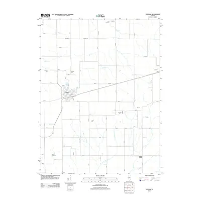
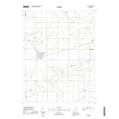
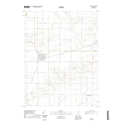
 2024 Windsor2024 Print · USGSThe border of Shelby and Moultrie counties comes into focus in this recent survey of the Illinois prairie. Genealogists can trace family names through numerous burial sites like Hilligoss Cem, Ash Grove Cem, and Templeton Cem.
 - 2024 Map of Mattoon West, 2024 Print
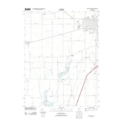
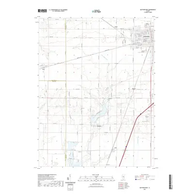
 2024 Mattoon West2024 Print · USGSThe western edge of the Mattoon area in recent years shows a unique mix of expanding city streets and long-standing rural landmarks. Researchers can trace family history at Dodge Grove Cem, locate Lake Land College, and explore the banks of Lake Paradise.
End of results
Showing maps 1-21 of 21
Top cities near Gays
- Charleston historical maps
- Mattoon historical maps
- Sullivan historical maps
- Arcola historical maps
- Neoga historical maps
- Paradise historical maps
See more
Frequently asked questions
- What are the different types of historical maps available for Gays?
- What is the oldest map of Gays?
- Where can I purchase historical maps of Gays for my home or office?
- Where can I download high-res historical maps of Gays?
- Are there historical topographic maps available for Gays?
- Is there historical aerial imagery available for Gays?
- Where are historical maps of Gays sourced from?